Exit Guides
Western Reserve Exit Guide Page - Marc Fannin, Brian Powell, Nicholas Rothfuss
Ohhighways.com - Jeff Kitsko
Links
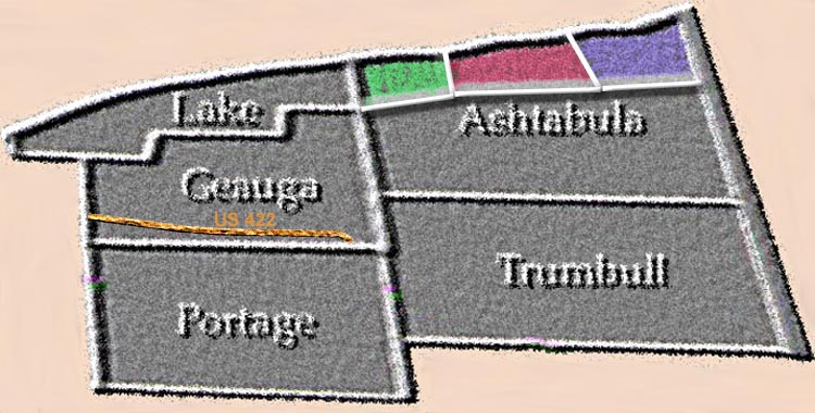
ODOT District 12 (Lake & Geauga)
ODOT District 4 (Ashtabula, Trumbull, Portage)
Northeast Ohio Areawide Coordinating Agency (Geauga & Lake Cos)
Eastgate Regional Council of Governments (Trumbull Co)
Akron Metropolitan Area Transportation Study (Portage Co)
Trumbull Co Planning Commission
Century Village Virtual Tour (Burton)
Ashtabula Covered Bridges
Ashtabula County - Atawalk.com
Ashtabula County Covered Bridges (Rick Alcorn)
Ashtabula County Covered Bridges (ODOT) (whole state is here)
Olins Museum of Covered Bridges, near Plymouth Center
Page created on January 15, 2003/Last revised January 31, 2004
Questions and comments can be sent to Sandor Gulyas or Marc Fannin
Return to the NE Ohio Regional Page