 Corridor
in
Geauga
County
Corridor
in
Geauga
County
Welshfield
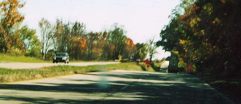
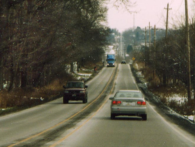 This is part of the last remaining two-lane section
of US Route 422 between Cleveland (actually I-271) and Warren.
Of note in the picture is the extremely wide double-yellow line
- one can almost put a jersey barrier between those yellow lines.
In fact there is a rumble strip between them for most of the length
of the two-lane section. In addition, there have been discussions
as to either making a new roadway or widening this highway between
La Due Reservoir and east of Welshfield. However, Welshfield would
have to be bypassed and the scenic Little Cuyahoga River would
have to be crossed (that clump of trees in the middle, breaking
up the highway and causing a double-S curve, is the river, presumedly
the location of an older crossing). Nothing has been decided on,
but mind you the US 422 freeway spur to SW Geauga County took
over 20 years to get built.
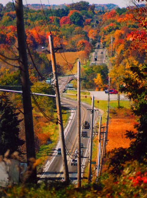
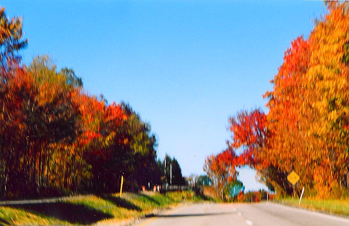
The following photos are looking from Ohio Route 700
westward towards the Little Cuyahoga River (and back towards the
area where the photo above was taken)
This is part of the last remaining two-lane section
of US Route 422 between Cleveland (actually I-271) and Warren.
Of note in the picture is the extremely wide double-yellow line
- one can almost put a jersey barrier between those yellow lines.
In fact there is a rumble strip between them for most of the length
of the two-lane section. In addition, there have been discussions
as to either making a new roadway or widening this highway between
La Due Reservoir and east of Welshfield. However, Welshfield would
have to be bypassed and the scenic Little Cuyahoga River would
have to be crossed (that clump of trees in the middle, breaking
up the highway and causing a double-S curve, is the river, presumedly
the location of an older crossing). Nothing has been decided on,
but mind you the US 422 freeway spur to SW Geauga County took
over 20 years to get built.
The following photos are looking from Ohio Route 700
westward towards the Little Cuyahoga River (and back towards the
area where the photo above was taken)
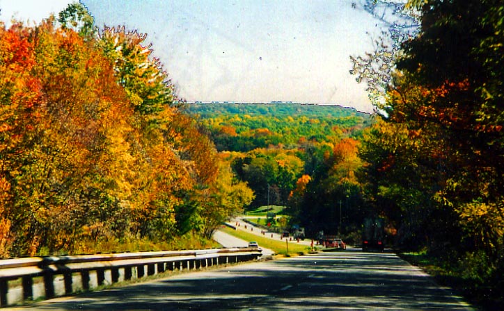
 Sort of a townscape of Welshfield as you look east
across Oh 700 and along US 422.
Sort of a townscape of Welshfield as you look east
across Oh 700 and along US 422.
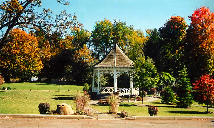
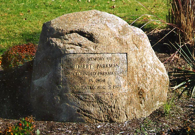
 Parkman
is where SR 88 crosses US 422, and where SRs 168 and 528 begin,
following SR 88 north, the former going only 0.21 mile with it
before turning northwest, the latter following it for 1.29 miles
before SR 88 itself turns east and 528 continues north (local
map). With SR 608 only a few miles north, there are lots of
8's in the area! Parkman's square is composed of US 422/Main Market
Road (north side), SR 88/Nelson Road (east side), SR 88/McCall
Road (south side), and West Park (west side). McCall continues
southwest from the square, still carrying 88, and Nelson Rd continues
south to Nelson, naturally.
US 422 has a controversial planned reconstruction in
this area (ODOT
page / News-Herald
article from mid-October 2003).
Parkman
Parkman
is where SR 88 crosses US 422, and where SRs 168 and 528 begin,
following SR 88 north, the former going only 0.21 mile with it
before turning northwest, the latter following it for 1.29 miles
before SR 88 itself turns east and 528 continues north (local
map). With SR 608 only a few miles north, there are lots of
8's in the area! Parkman's square is composed of US 422/Main Market
Road (north side), SR 88/Nelson Road (east side), SR 88/McCall
Road (south side), and West Park (west side). McCall continues
southwest from the square, still carrying 88, and Nelson Rd continues
south to Nelson, naturally.
US 422 has a controversial planned reconstruction in
this area (ODOT
page / News-Herald
article from mid-October 2003).
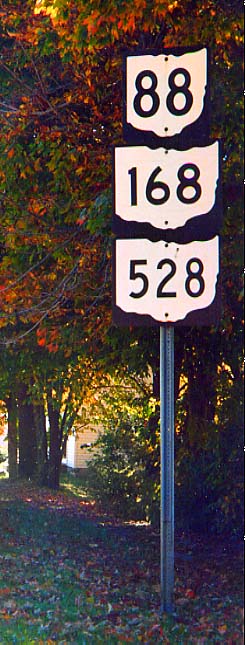
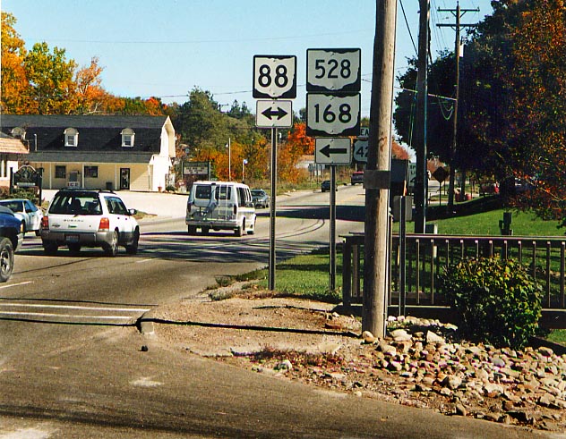
Left: Visual proof that Oh 88, 168, and 528 all join together
for that last 1/4 mile.
Right: Northeast corner of the square looking
east along US 422
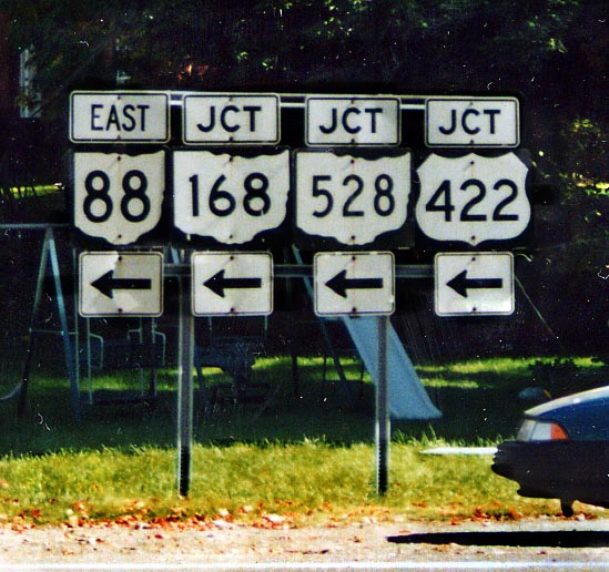
 Northeast corner looking northwest. Note no 168 sign
for US 422 westbound travellers (compared to above right photo
which has all three routes).
Northeast corner looking northwest. Note no 168 sign
for US 422 westbound travellers (compared to above right photo
which has all three routes).
 Southeast corner looking east (end of McCall Road,
where 88 turns north onto Nelson Road)
Southeast corner looking east (end of McCall Road,
where 88 turns north onto Nelson Road)
 Southwest corner looking northeast (northeast corner
intersection is in the background)
Southwest corner looking northeast (northeast corner
intersection is in the background)
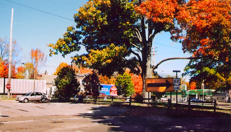
 Northeast corner, looking north across 422 (88/168/528
is on the far right)
Northeast corner, looking north across 422 (88/168/528
is on the far right)
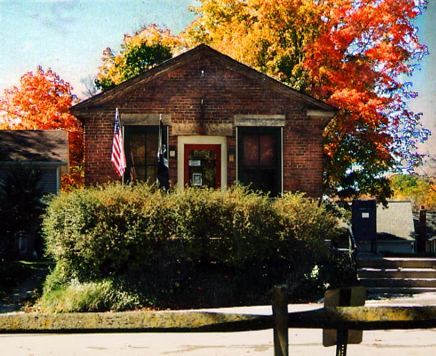 Parkman Post Office (44080) on the far west side of
the square, front facing eastward. Yes, that's the whole thing.
Parkman Post Office (44080) on the far west side of
the square, front facing eastward. Yes, that's the whole thing.
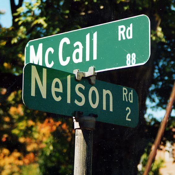 Example of county signage ("88" of course
refers to SR 88, not CR 88, and Nelson Road's technical designation
is CR 2S).
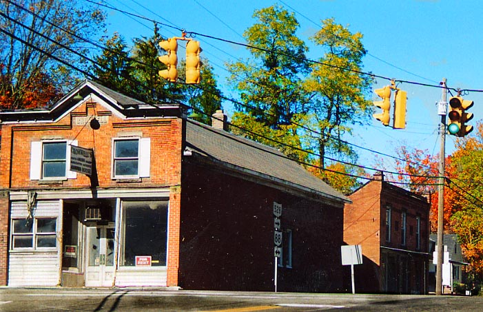
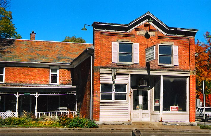
Other scenes from Parkman square:
Example of county signage ("88" of course
refers to SR 88, not CR 88, and Nelson Road's technical designation
is CR 2S).
Other scenes from Parkman square:
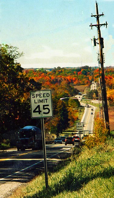
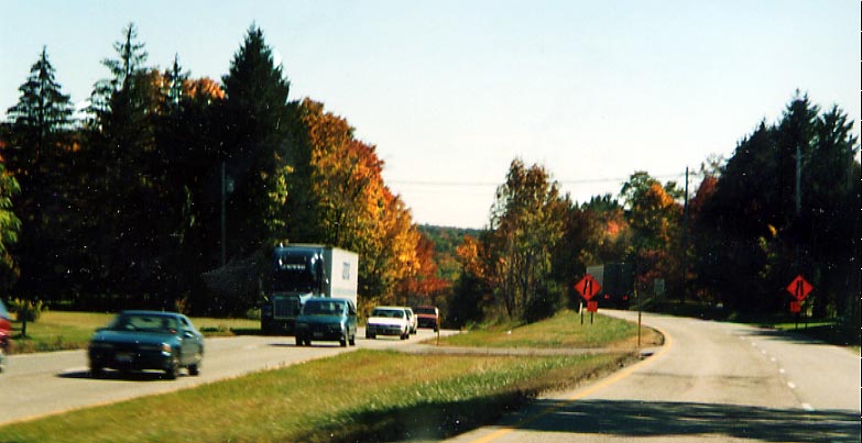
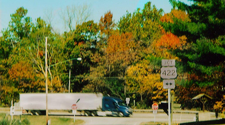
US 422
west of the Geauga/Portage county line
From just east of Parkman for a couple of miles to
the area of the US 422/SR 282 intersection, the two roadways of
US 422 have considerably different character. The eastbound lanes
on the south side are rolling, as they are the original alignment
of the road converted to one-way traffic, and the westbound lanes
on the north are considerably more level (map
of section). (Forgive the quality of some of the photographs
as they were all taken from a moving vehicle since as can be seen
from them there is no opportune place to pull over and stop in
the area)
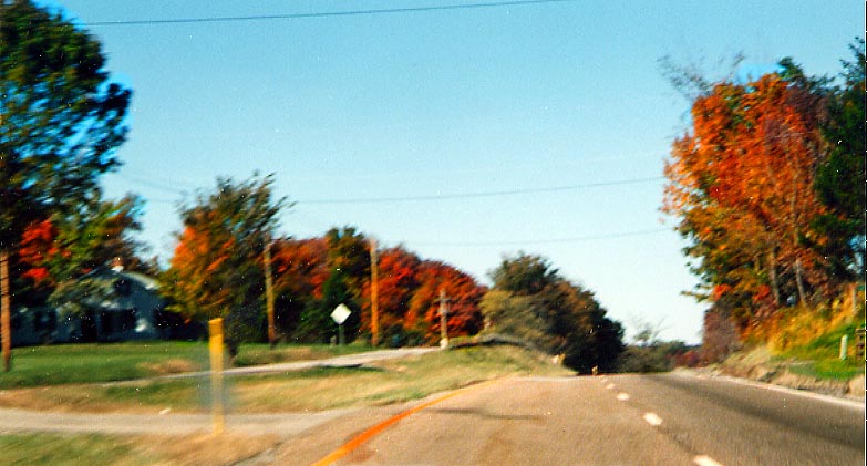
 SR 282
SR
282 is a three-mile state highway whose main purpose is to
provide a connection to Nelson-Kennedy
Ledges State Park.
The south end of Oh 282
(@ Oh 305) is on this page
 North end at US 422
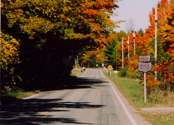 Approaching the north end - notice that there is a
[NORTH][282] reassurance marker even with a [SOUTH][282] marker
(not visible due to shadows) mere yards before 282 ends in the
distance....
Approaching the north end - notice that there is a
[NORTH][282] reassurance marker even with a [SOUTH][282] marker
(not visible due to shadows) mere yards before 282 ends in the
distance....
Page created on January27, 2004/Last revised January 31,
2004
Questions, comments, and submissions can be sent to Sandor
Gulyas or Marc Fannin
Return to Geauga County Photos