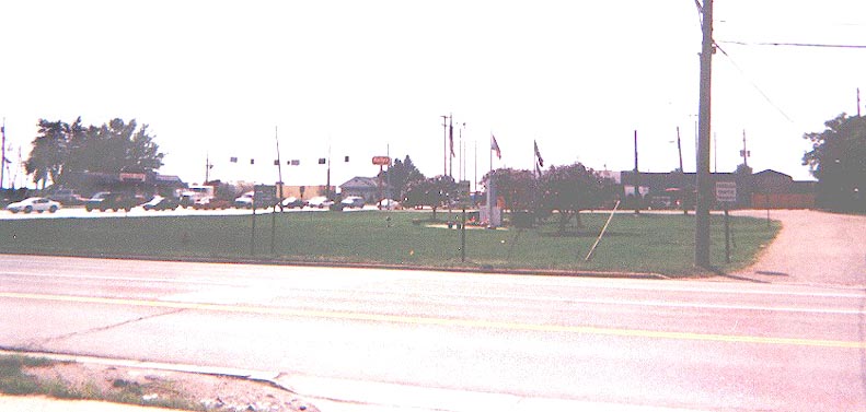
Streetsboro Public Square -- Streetsboro's Public Square roadway is a gravel road surrounding the Ohio 43/Ohio 14/303 intersection, a couple miles southeast of I-480's eastern end at I-80/Ohio Turnpike. Most Western Reserve townships had a settlement in the middle, often with a town square. In the case of Streetsboro, now a city, the area within the square is mostly empty, while, by contrast, the square as a whole is surrounded by retail outlets.
Looking east on Ohio 14/303 from Ohio 43
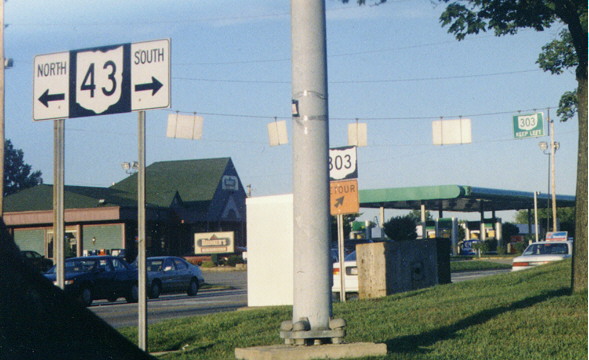
Ohio
43 at Public Square on the north looking southwest -- Ohio 14/303
is in the background
Contributed by Matt Walcoff
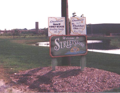
Streetsboro
city limit sign -- Contributed by Matt Walcoff
H.B. Elkins has a copy of an old s-east/n-west sign along Oh 14 in Streetsboro (see this page for details).
Kent is the home of Kent State University.
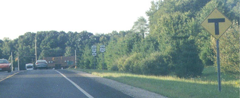
East
end of Ohio 261 at Ohio 59 just east of Kent
On Rhodes Road on the Kent boundary and the eastern edge of Kent State University
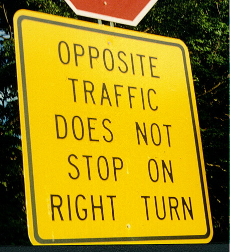
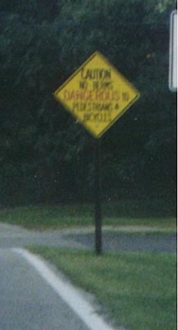
A similar sign in the opposite direction reads "CONTINUOUS RIGHT TURN". At the exit from Fred Fuller Park at South Pearl and Summit Streets, just south of Haymaker Parkway (Ohio 59)
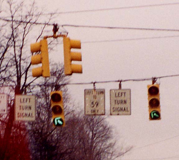
East of downtown Kent, Ohio 59 leaves east-west East Main Street at north-south Willow Street and follows Haymaker Parkway to the southwest (map). Because of the resulting five-way intersection, turn restrictions are necessary. This results in interesting signage and signals (the sign at the left side of the picture says "NO LEFT TURN TO WILLOW"). On Ohio 59 Westbound
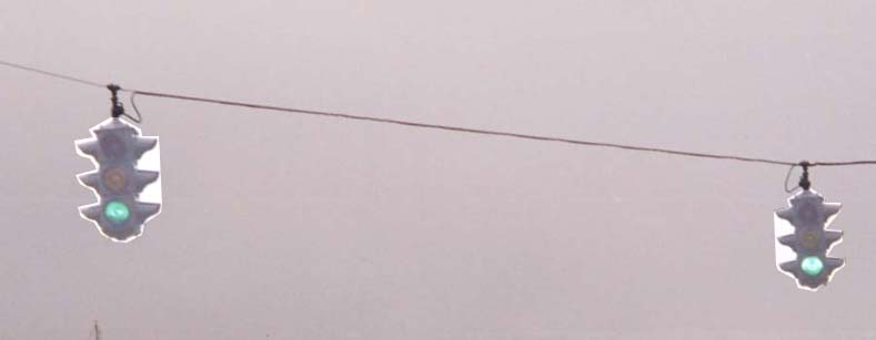
Marc's collection of traffic signals in Kent have been moved to this seperate page.
Signals
such as these are found on Main Street (Ohio 59) in downtown Ravenna.
What is unusual about them is that even though they look like
they're from the 1930's or '40's, they were actually installed
new in the mid-1990's and have characteristics of modern lights.
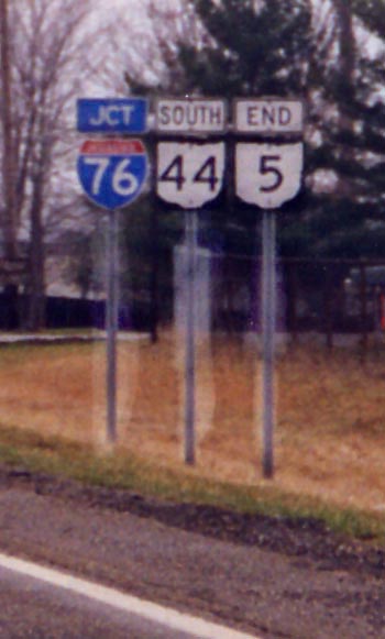
West
end of Ohio 5 -- This assembly shows that Ohio 5 follows Ohio
44 to I-76 south of Ravenna, near Rootstown.
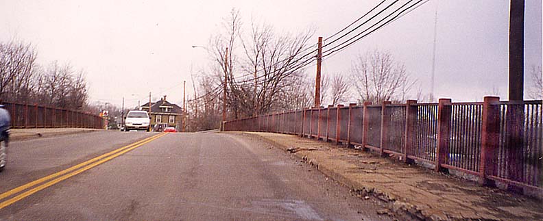
Railroad
overpass on Prospect Street (old Ohio 44) Southbound. This bridge
crosses the CSX rail line just south of downtown.
Here are signs along the CSX rail line as it approaches the overpass. Facing east from Chestnut Street
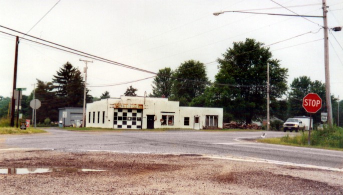
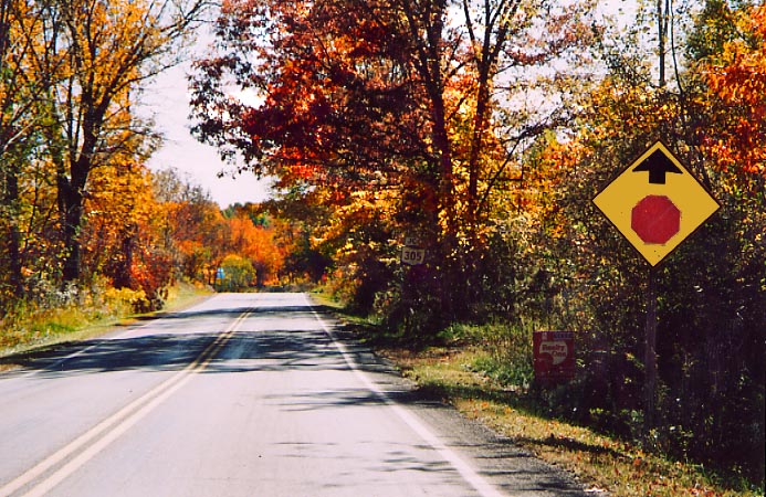
The south end of Oh 700 at Oh 88 in Freedom (equal distance between Ravenna and Hiram). Photo taken in June, 2004
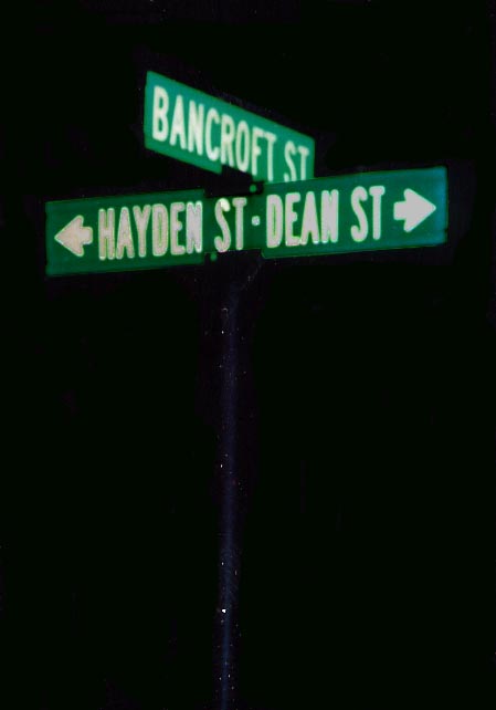
Not offen does one find two different road or street names on one sign. However due to new construction on the campus of Hiram College, Hayden St got moved to the west and Bancroft St was ended here (used to extend to Garfield Rd). Photo taken in October, 2003.
The south end for Oh 282. Once upon a time, Oh 282 used to continue to the west with Oh 305 to Nelson then south to Garrettsville. According to John Simpson, Oh 282 was truncated to this location in 1972. (Photo taken in October, 2003)
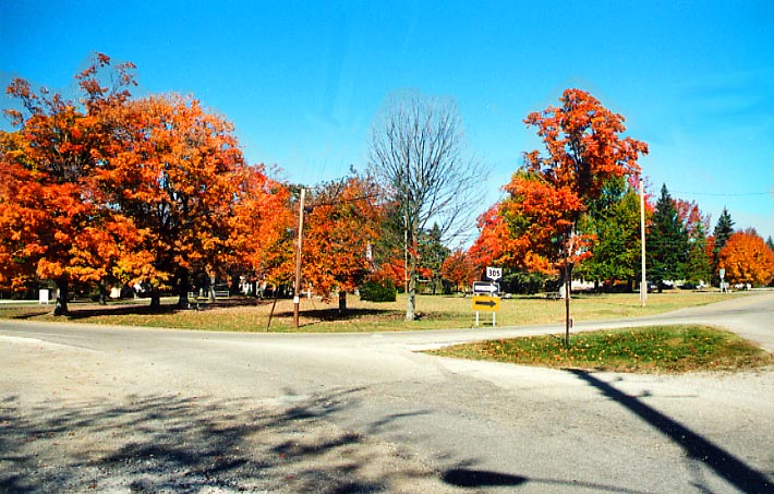
The town square for Nelson at the junction of Oh 305 and Parkman Rd (and formerly Oh 282). Photo from October, 2003
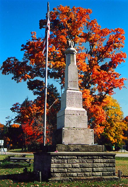 There is this
monument to veterans of World War One(?) in the Nelson square.
There is this
monument to veterans of World War One(?) in the Nelson square.
Photo from October, 2003
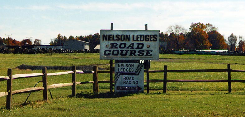
This has no roadgeek value, but it's a personal momento for me (Sandor). For fifthteen or so years, Nelson Ledges was run by the Gulyas family. Sandor's grandfather was the general manager for the track (a friend of his, McGill owned the track), and the rest of the family chipped in with various activities (Exp. Grandmom Gulyas was track secretary, Papa Gulyas (Sandor's dad) was head of security). I remember visiting the track almost every weekend during the summers when my parents and I still lived in Geauga County. After my parents moved us south to Columbus in 1982, our involvement with the track was minimal (my dad only went up for the 24 hours of Nelson auto and motorcycle races).
My understanding is that Nelson Ledges Road Course is still quite operational and is covered on this website.
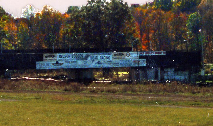
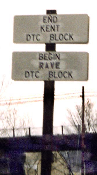
Pedestrian bridge near the (old?) Start/Finish line at Nelson Ledges. Click on the photo to zoom in on the bridge signs/ads. (Photos from October, 2003)
Links
The I-76/I-80 Corridor Study by ODOT District 4
Page created on January 1, 2002/Last revised May 16, 2005
Questions, comments, and submissions can be directed to Sandor Gulyas or Marc Fannin
Return to The Western Reserve Photo Index