This portion of The Old State Rd has encountered the most alterations along its route. When Alum Creek Reservoir was created in the early 70s, several parts of Old State Rd had to be rerouted. The biggest change was a several mile portion between US 36 and Cheshire Rd got wiped out and put under water. Several towns (and it's a stretch to call them that) were wiped off our maps by the Reservoir and it's construction.
Solitary sign mentioning posible directions for through traffic and turning to the Alum Creek State Campgrounds. Old State Rd just south of Cheshire Rd in Delaware Co.
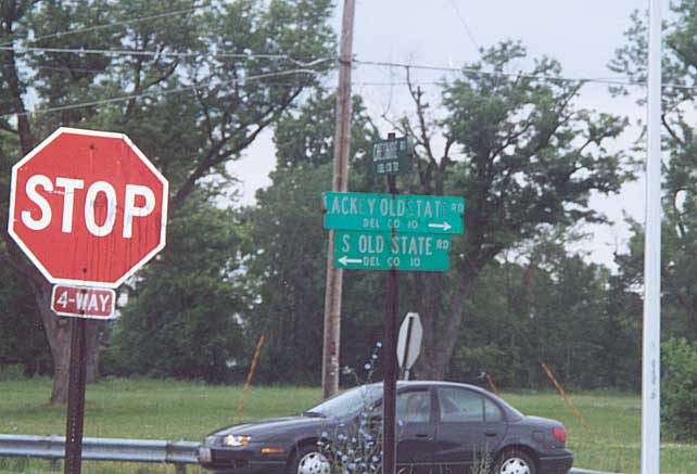
When Alum Creek Reservoir was constructed Old State Rd was rerouted. This included combining Old State with another road called Lackey Rd. So between Cheshire Rd and US 36 the road is called Lackey Old State Rd (but kept the Co. Rd 10 designation).
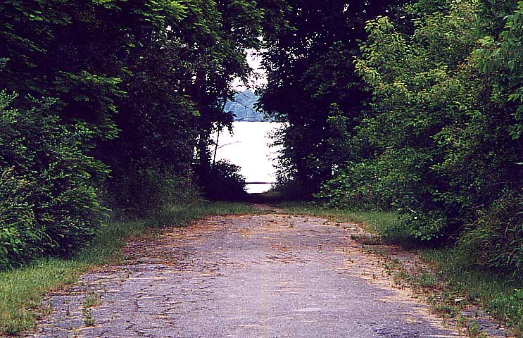
The literal end of Dunham Rd (Original Old State Rd) into Alum Creek Reservoir (comes back up about 2 miles south)
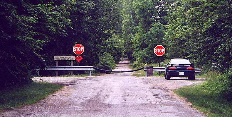
The official end of Dunham Rd before Alum Creek (Sandor's car is on the right)

For anyone to turnaround in at the end of Dunham Rd.
Another former road routing (either formerly Curve or Berlin Station Rd). Being within park grounds, looks more natural than your usual dirt or crumbling asphalt end. Dunham Rd, South of US 36
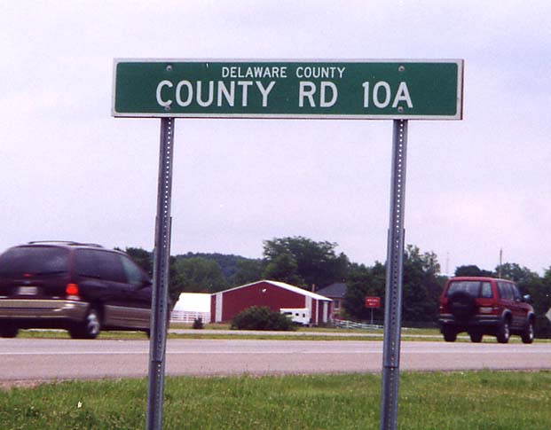
The numeric designation for "Old" Old State Rd (Dunham
Rd). It doesn't even gets its own route number, it's CR 10 A.
This is the standard sign one sees along multi-lane
state and federal highways in Ohio.
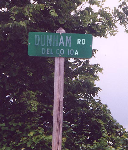
The standard Delaware Co. road sign. Dunham Rd is the renamed part of "Old" Old State Rd going south from US 36.
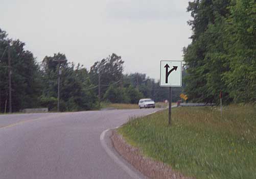
A rerouting of Old State Rd. Before the reservoir, the road
went straight, now you have the slight detour.
Between
Kilbourne and US 36
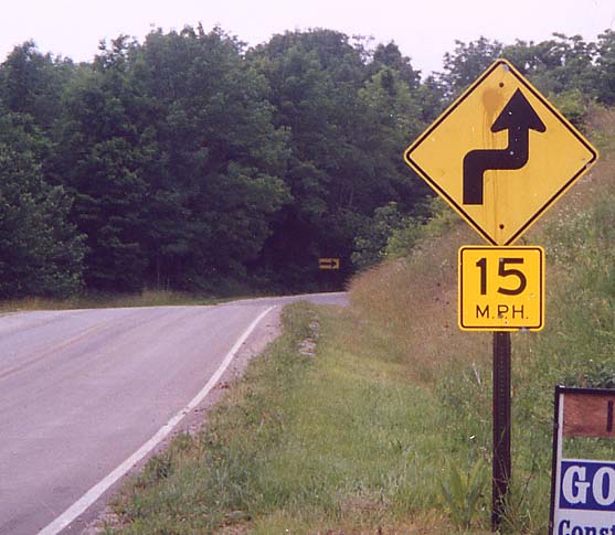
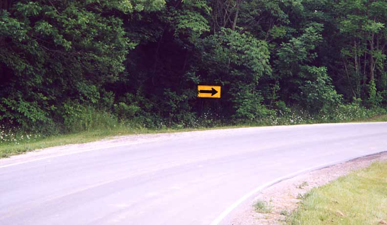
Sign warning about the turns (in the previous picture). Note the suggested speed.
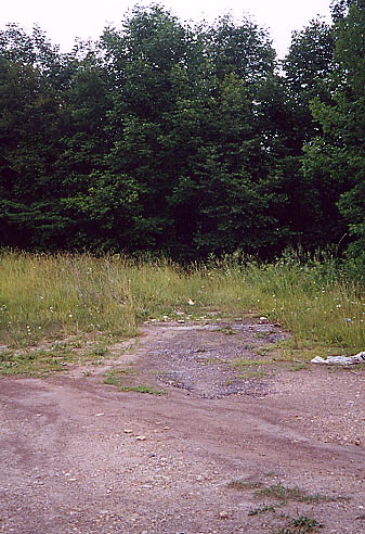
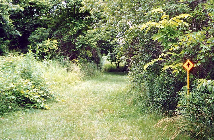
Here's whats left of another road before Alum Creek Reservoir was constructed. Unlike the earlier example, there are plenty of remenants of this road left behind. Now it's just an abandoned path. Between US 36 and Kilbourne
Lucky shot. Between Old State Rd and Howard Rd by Alum Creek
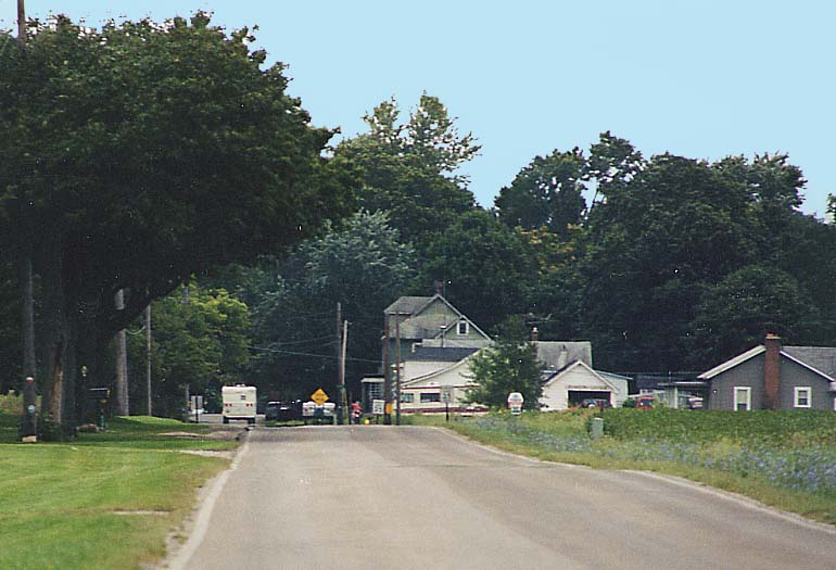
My sort-of adopted hometown, the thriving metropolis of Kilbourne (looking south towards it)
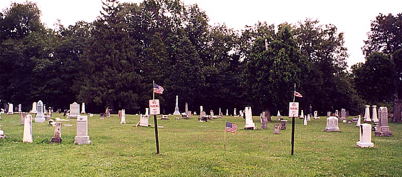
Old Kilbourne Cemetery on the east side of Old State Road just north of Kilbourne, retired (filled up, not abandoned)
Continue north into Morrow County
| Go back south to Worthington-Polaris
Return to the Old State Rd
introduction page
Page created on January 21, 2003
Questions or comments can be directed to Sandor Gulyas