
Along I-80
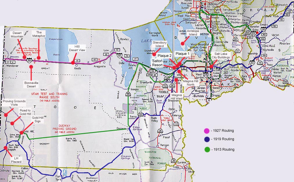
Looking towards the tops of the buildings in Salt Lake City from NB I-15/WB I-80
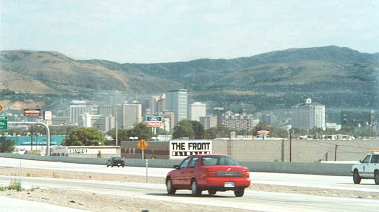
Magma Hill - Mountain that separates Salt Lake (from the east) from Tooele (from the west) Co. just south of I-80
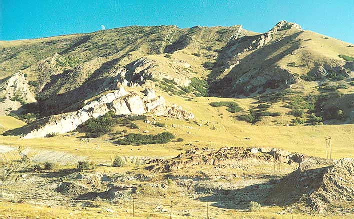
Magma Hill - Same area as above, but now looking east towards it from Utah 36 between I-80 and Tooele
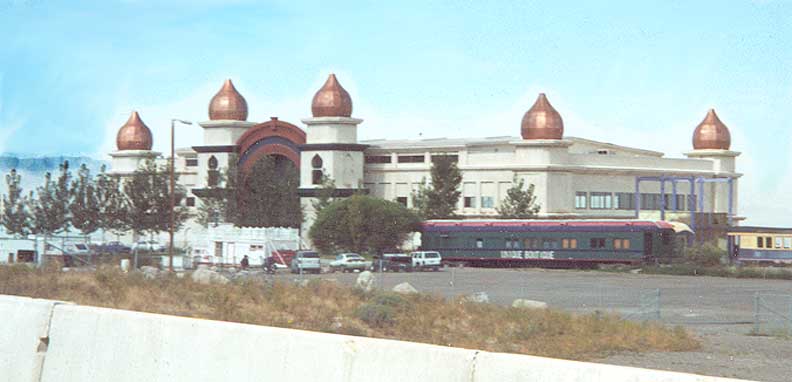
Salton Resort, just north of I-80 on the south shore of the Great Salt Lake. Between Utah 36 & 201
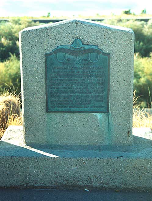
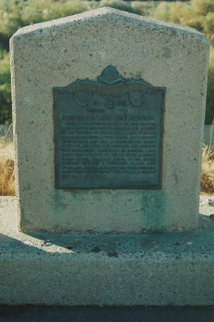
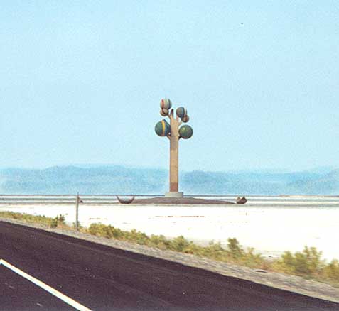
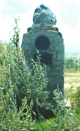
Two monuments at a rest area on I-80 between Utah 201 & 36 (each got their own photograph)
Looking NE towards Antelope Island in the Great Salt Lake from scenic view along I-80 west of Salt Lake City
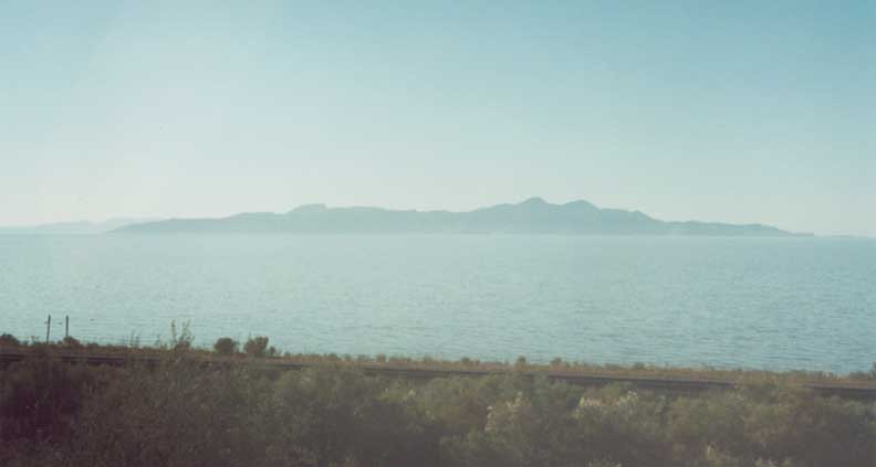
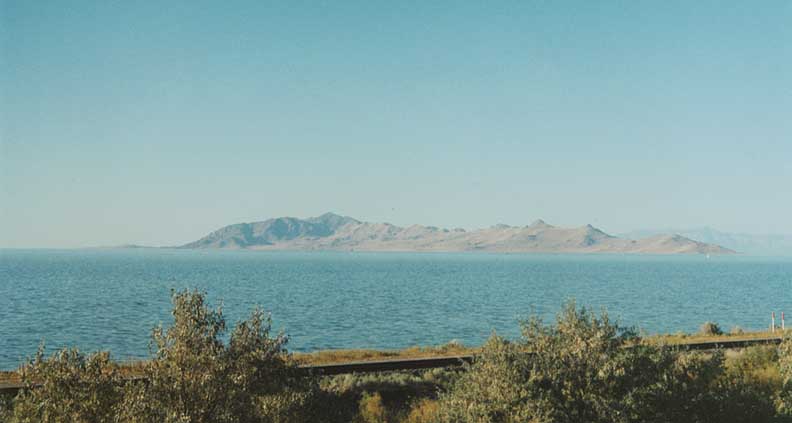
Looking west towards Stanbury Island island from Saltair Beach, Great Salt Lake
The Metaphor -- Statue along I-80 out in the middle of the desert between Wendover and Grantsville.
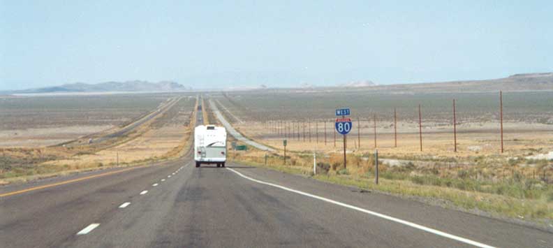
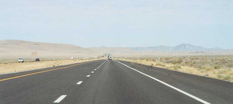
Looking west on I-80 towards Wendover in the Great Salt Lake Desert in western Utah. The old roadbed to the right was for the Victory Highway, US 40 and the 1927 version of the Lincoln Highway.
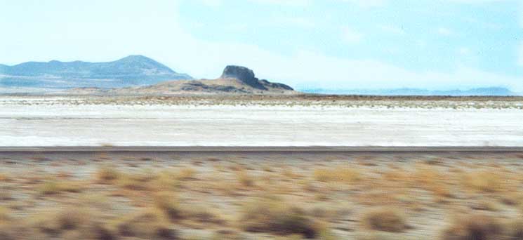
Bonneville Desert - Looking south towards Wendover Range from I-80
Desert mountain - closer to the Utah/Nevada border on I-80
Gold Hill - Ibapah
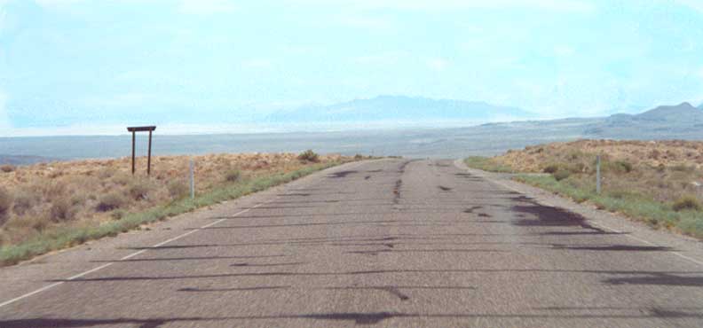
Looking east from near the Nevada/Utah border out towards Deseret & Dugway proving grounds and test center (Deseret is 20 miles ahead in the picture)
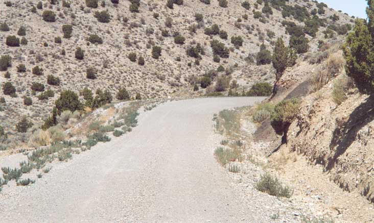
Road to Gold Hill - Dirt Road near Nevada/Utah border (in Utah) as I look for the Lincoln Highway
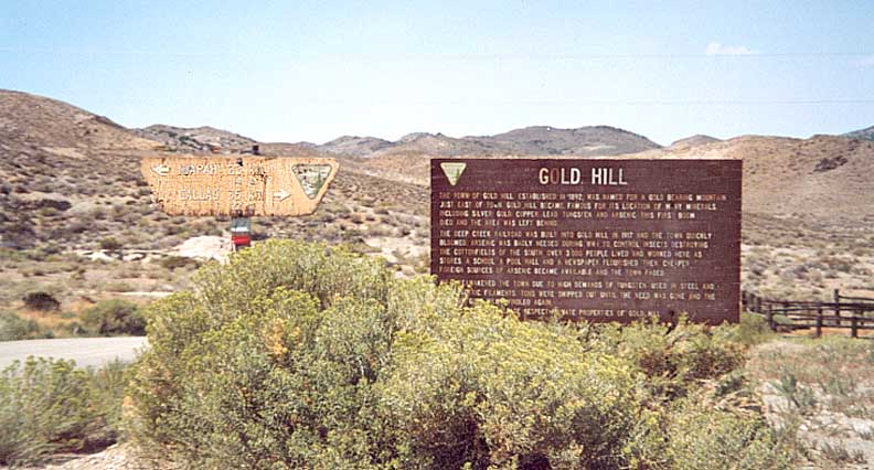
The remains of the town of Gold Hill. Dept. of Interior leaves a sign to commemorate it, and the directions to the left are in kilometers
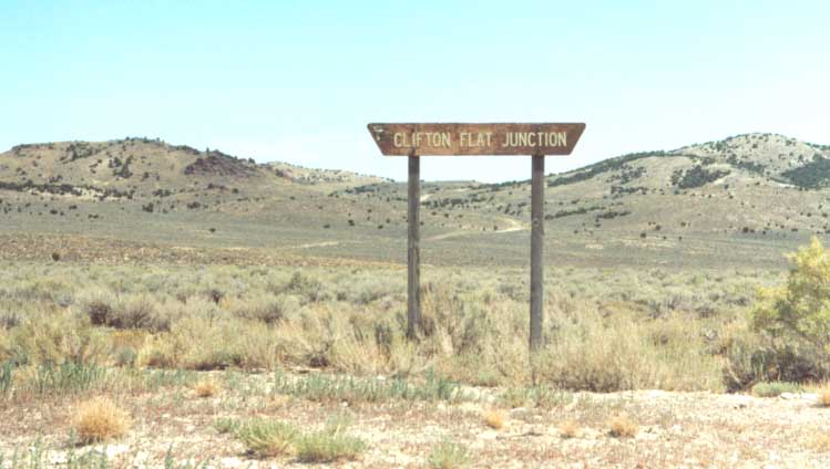
Clifton Flat Junction is situated between the Ochre Mtns to
the north, Deep Creek Mountains to the west, and the Clifton Hills
to the east.
I'm looking south towards the Overland
Canyon in this photo.
(And sakes alive, I'm not
in Nevada like I previously thought I took this photo at also)
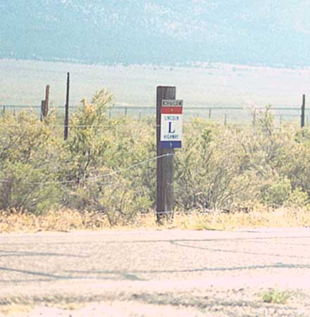
Historic Lincoln Highway marker along some county road in Ibapah, Utah
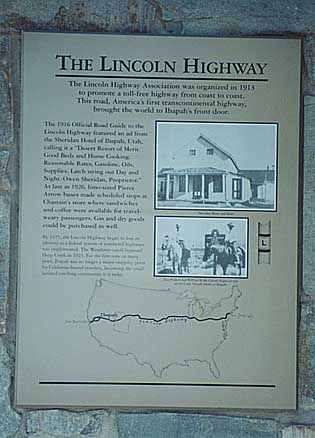
Fairly new placard about the Lincoln Highway in Ibapah
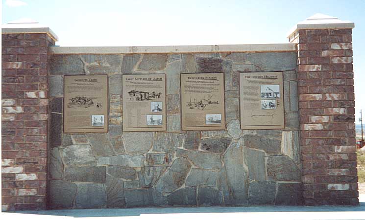
Rest of placard about Ibapah (along with the LH)
This is between Ibapah and the Utah/Nevada border along the
1913 Lincoln Highway.(Terraserver links - Aerial
Photo | Topo
Map)
If anyone has any other suggestions as
to what it's for, see the e-mail address at the bottom of the
page
(1st update)
According to J Humphreys this is one of the 1928 Lincoln Highway
Concrete markers.
(2ND
UPDATE) From Jim Pexton, It is a Pony Express Marker,
also along the Lincoln Memorial Highway. The round bronze plaque
on the top is the Pony Express rider and the rectangular plaque
below it contains the information about the Pony Express &
who erected the monument.
Links
Utah LHA
Fisher Pass Monument Committee
Page created January 16, 2002, last updated on June 27, 2006
Questions, comments, and submissions can be sent to Sandor Gulyas
Go east to Western Wyoming LH Photos | Go west to Nevada LH Photos | Return to Lincoln Highway Photo home