
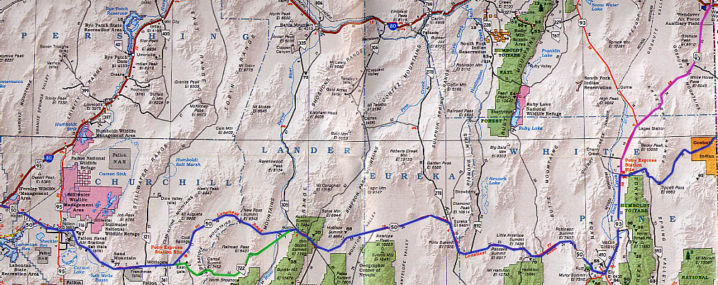
Top Map - Fernley to Utah border
Left Map - Fernley to California border
Color legend for both maps:
Purple/pink line - 1927 route
Blue line - Regular Lincoln Highway route (1913 & 1919 routes)
Green line - 1913 route (Nevada 722 - was bypassed soon after)
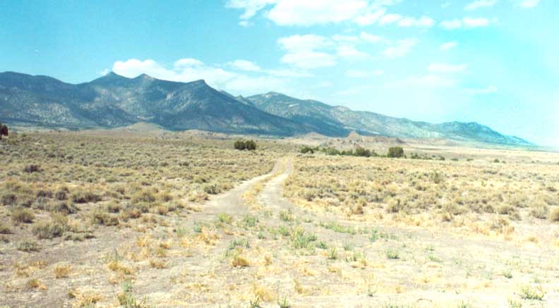
Rural, unpaved Eastern Nevada
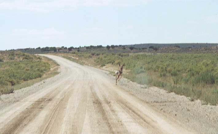
Antelope - chased the animal off the road.
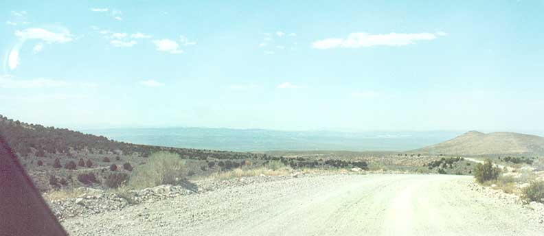
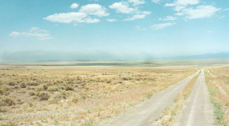
Plateau overview of East Nevada along the Lincoln Highway

Goshute desert - Another vista along the Lincoln Highway
Dept of Interior/State of Nevada had signed this path as the Lincoln Highway, 1913-14
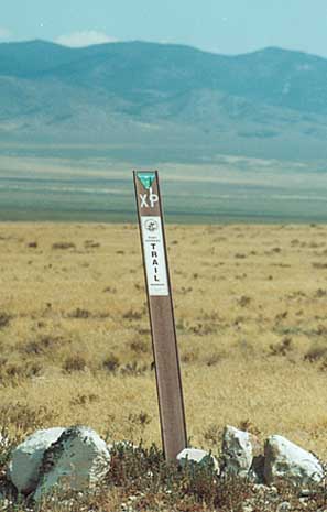
Trailblazer for the Pony Express in Nevada
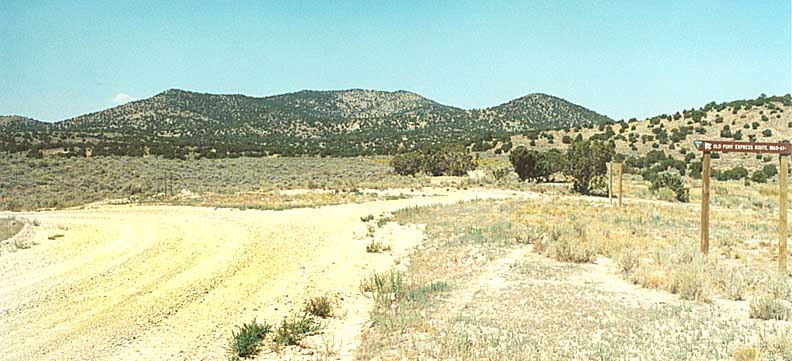
Pony Express route branches off one way, Lincoln Highway (unmarked) goes the other way
East Nevada countryside along the old Lincoln Highway
2001 Wildfires
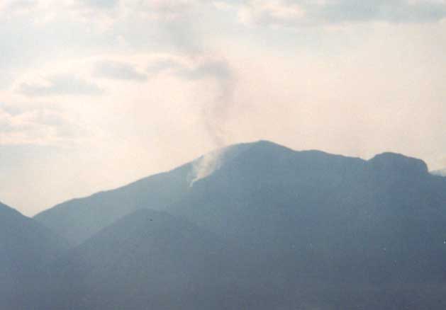
Cherry Creek wildfire - West of US 95 (north of Humboldt Natl Forest)
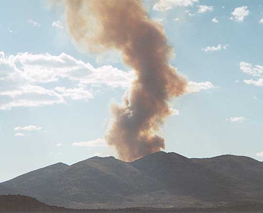
Ely wildfire - West of said town and just south of US 50
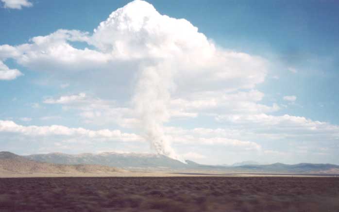
Second view of the Ely wildfire
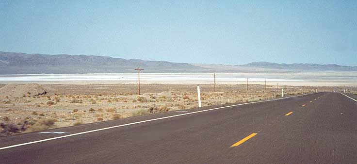
US 50 Corridor
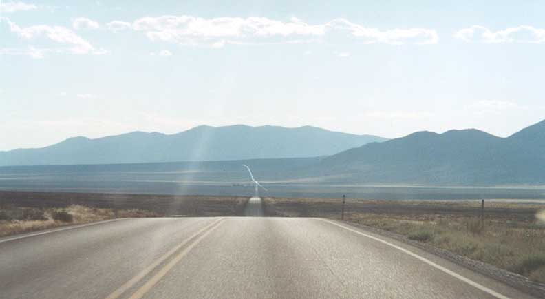
A reason why US 50 is the lonelest road in Nevada (between Eureka and Austin looking west)
"US 50 - Loneliest road in America" placard outside Austin, Nev
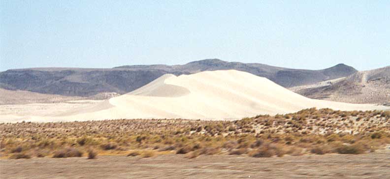
Sand Mountain - The biggest sanddune west of Lake Michigan. When I went by there, the "lonleyest phone booth" was no longer in front of it.
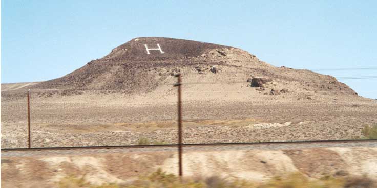
One of several hills, in Western Nevada, with letter designations on them. This one is along US 50 between Austin and Fallon
Normally found along a highway right-of-way, these poles further to the right than usual (old roadway?). Along the northside of I-80 between Fernley and Sparks.
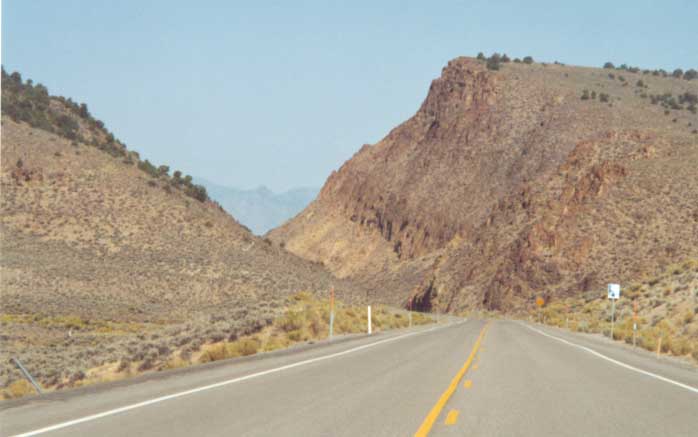
Alt US 93, south of Wendover
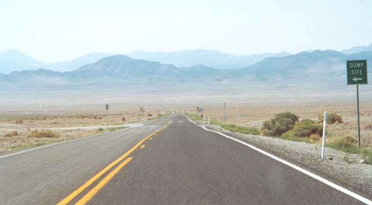
Looking south from Alt US 93 at the south boundary of Wendover
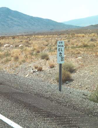
Nevada milemarker for Alt US 93, south of Wendover
Alt US 93 looking south-southwest, just outside Wendover
Links
Andy Field's work:
This was Nevada, Lincoln Highway (from 1997)
Nevada LHA (whenever they get around to getting a webpage)
This page was created on January 16, 2002/Last revised June 27, 2006
Questions, comments, and submissions can be sent to Sandor Gulyas
Go west to California LH Photos | Go east to Utah LH Photos | Return to Sandor's Lincoln Highway Photos home