
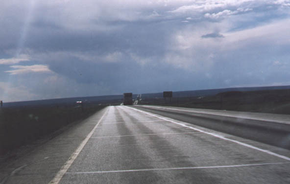
Interstate 80 in Southeastern Wyoming. (June 1998)
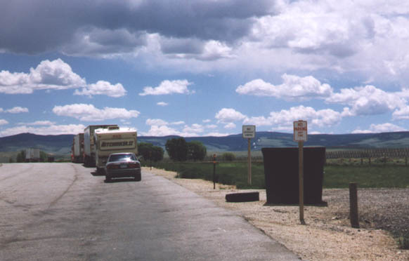
Interstate 80 Parking Area signage. This was a bad attempt at humor, No parking in a parking area?!? (June 1998)
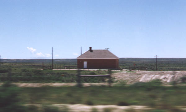
From Andy - "This lone brick house is located along the south side of Interstate 80. I believe this is related in some way to the communications along the railroad -- some sort of telephone transformer or something like that. Anyone else have any ideas? They are fairly evenly spaced along the railroad. When I lived in Green River, Wyoming, I remember one subdivision of that town had a plot of land that had one of these brick buildings built on it rather than a normal house! Pretty weird." (Photo from June 1998)
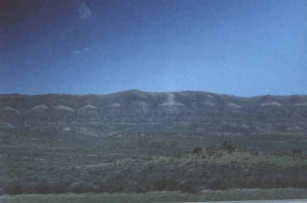
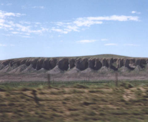
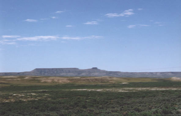
Red Desert - June 1998
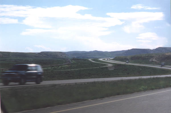
This picture shows the progression of transportation in Wyoming.
First the Union Pacific Railroad, then the Lincoln Highway (U.S.
30), and finally Interstate 80 (Just like in Nebraska). (June
1998)
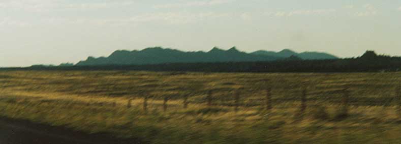
Red Desert 2 (June 1998)
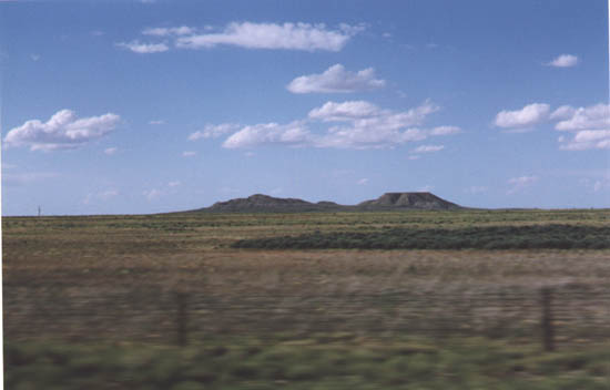
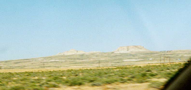
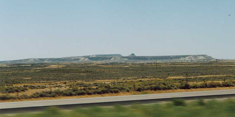
Twin Buttes
June 1998
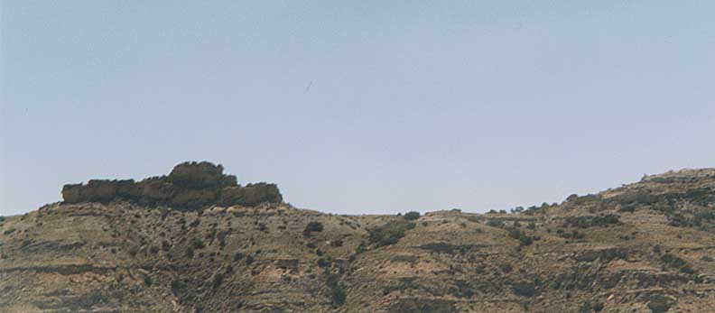
June 1998
June 1998
August 2001
August 2001

Rock cuts along Interstate 80 near Rock Springs.(June 1998)
Green River Gorge from LH corridor (August 2001)
South Plateau - Looking south of I-80 between Ft. Brigder and Evanston (August 2001)
Page created on July 30, 2003 / Last updated on August 2, 2003
Questions, comments, and submissions can be sent to Sandor Gulyas
Go west to Utah LH Photos | Go east to Cont. Divide/High Plains | Return to Wyoming Lincoln Adventures