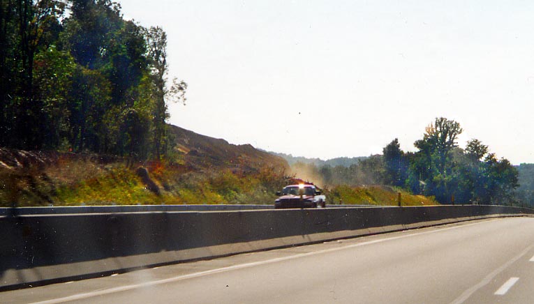
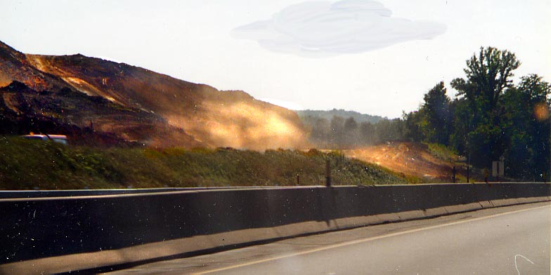
The clearing to the left is for a future rerouting of the Pa Turnpike just east of the Donegal interchange. A hill is being removed so turnpike drivers have one fewer turns to negotiate. Personally, I am puzzled that it took them over 60 years to decide to alter this. (photos from Sept. 2002)
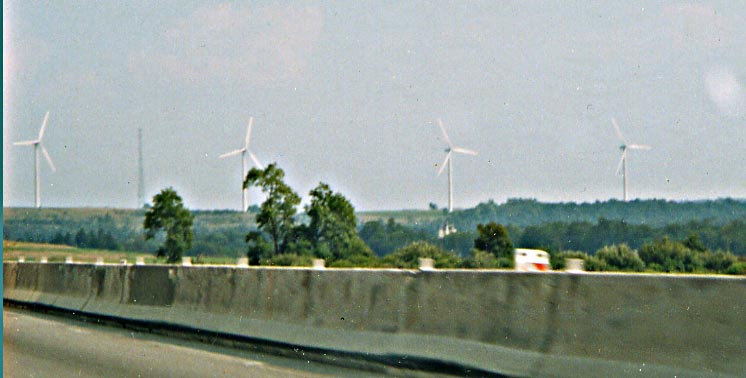
East of Somerset, you can can see this small collection of windmills to the south of the turnpike. (photo from April, 2003)
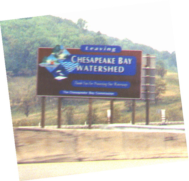
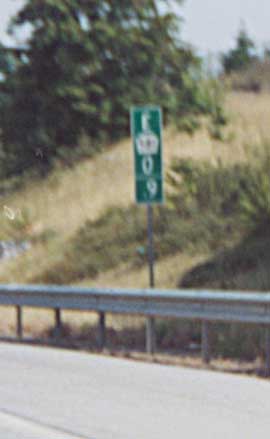
The Chesapeake Bay Commission must of felt the need to promote
their waterways a little more, so they placed signs like this
along the Pa Turnpike (and I-80 from what I've seen in Pennsylvania).
Must be a little easier to promote than the Mississippi-Missouri-Ohio
Watershed to the west.
Sign along WB Pa Turnpike
between Somerset and Allegany Tunnel (photo from Summer 1999)
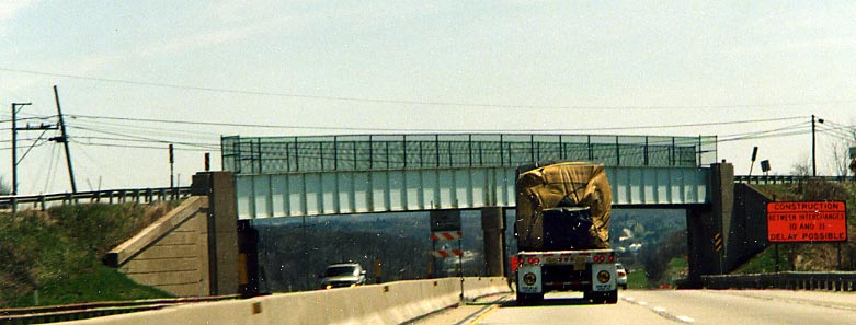
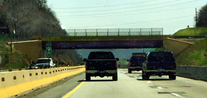
The Rainbow Bridges
Along the Pennsylvania
Turnpike someone is trying different paint schemes for the bridges.
Normally one would just see green along the way
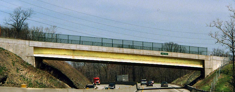
Yellow...
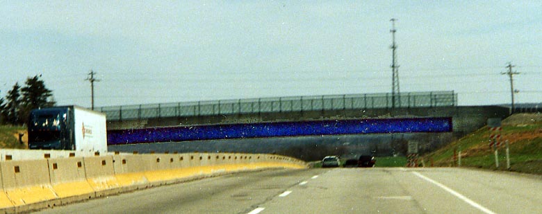
Royal blue...
Grey
Marroon (dark red)...
Supposed to be Marroon again, but the lighting (and photoshop) conspired against me
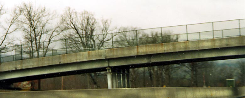
Another grey, but notice the set of narrow support posts
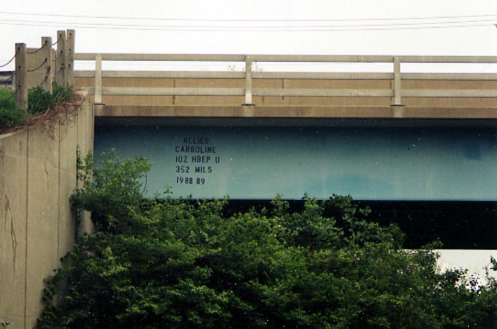
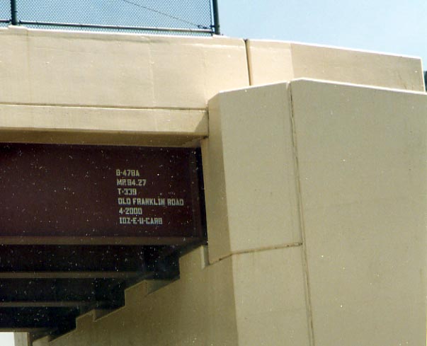
Supposed to be sky blue, with another id stamp
(All
Rainbow Bridges series photos from April, 2003)
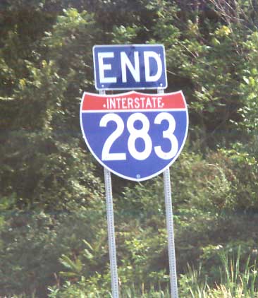
Breezewood
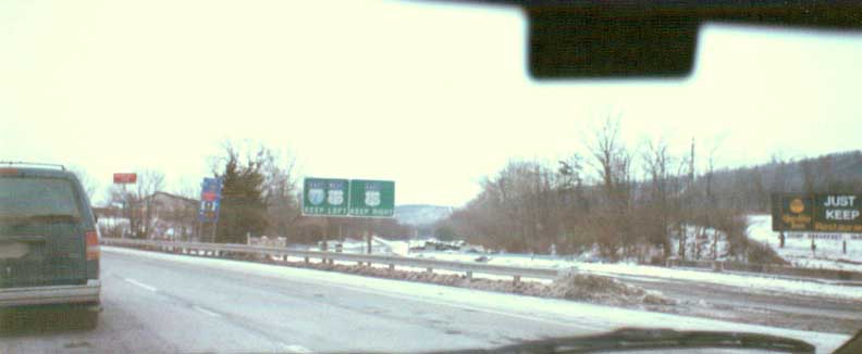
As one approaches the present day Breezewood interchange, you can see the now abandoned section (through Ray Hill and Sliding Hill Tunnels) to your right, heading to the east behind several motels.
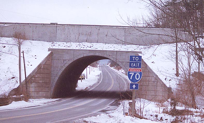
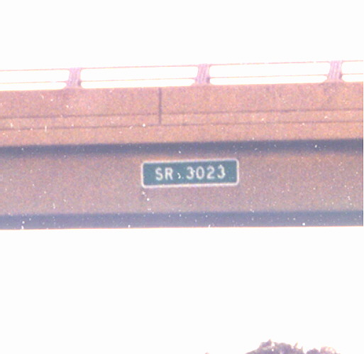
Concrete Bridge along the original Turnpike section (still active I-70), near Breezewood, over former Pa 126. The size and shape of this overpass is what I find striking about this setting.
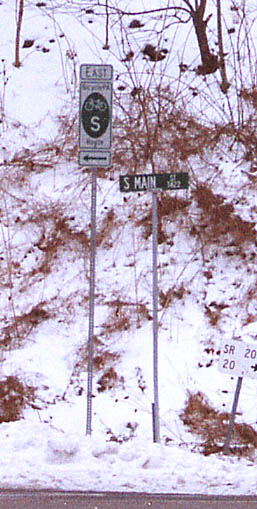
Pennsylvania (like many other states) keeps an invertory of bicycle paths. This one is just south of Breezewood
Ray Hill Vistas
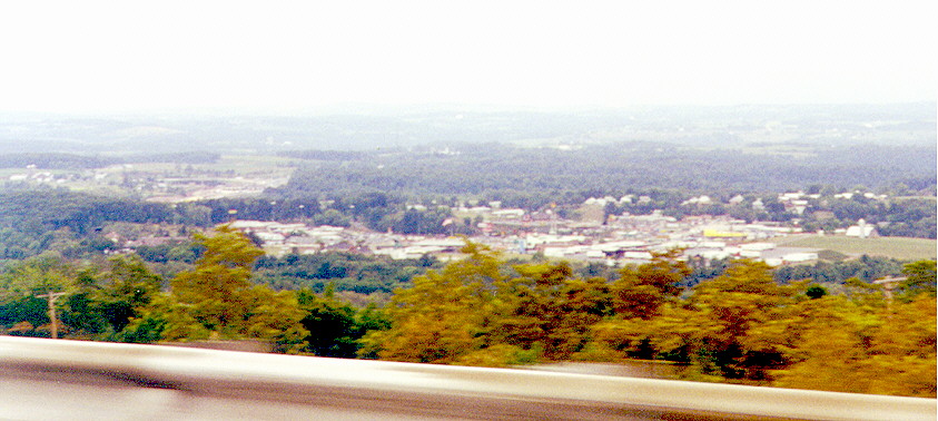
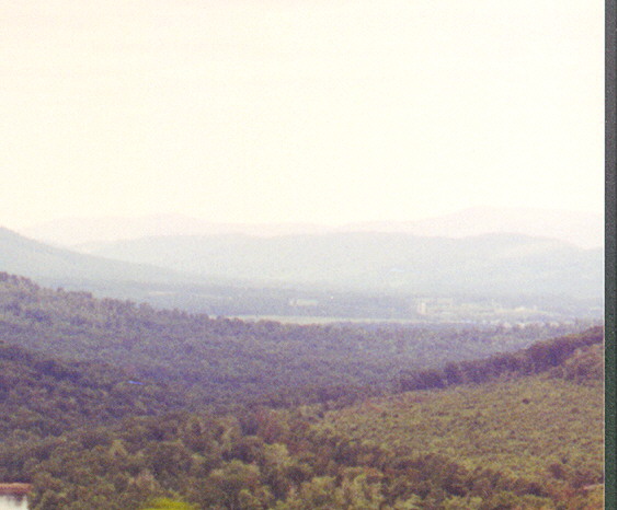
From the WB lanes of the Turnpike you can look down at Breezewood of in the western horizon as you start your decent from Rays Hill. That is US 30 (Lincoln Highway) at the bottom of the picture.
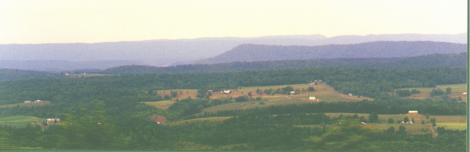
Looking north from the "new" Ray's Hill turn on the turnpike
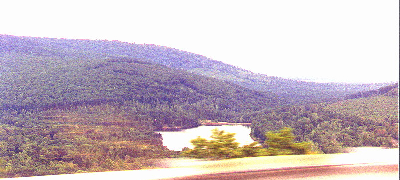
Looking back east to Bear lake from WB Turnpike
Looking west, I guess.
Other Ray's Hill/Breezewood photos I've taken can be found on the Lincoln Hwy - Breezewood to Gettysburg page
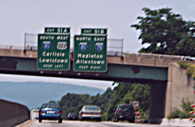
12 Mile Stretch
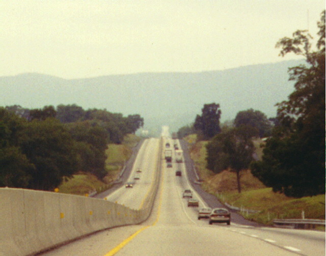
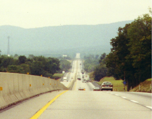
While there are plenty of hills, you can see how straight the Turnpike is between Carlile and Blue Mountain. WB Turnpike between Carlile and Blue Mountain
Pennsylvania photos lacking a home
An example of hidden Pa state routes. This one is at the West Alexander interchange on I-70 near the Pa/West Virginia border. A secondary route system?
Links
Jeff Kitsko's history of the Pa Turnpike
Gribblenation Pa Turnpike Photo Pages/Essays
Abandoned Pa Turnpike pictures - Jeff Taylor
Pennsylvania Turnpike Commission website
This page created September 23, 2002/ last updated on August 31, 2003
Comments, questions, and submissions can be sent to Sandor Gulyas
Return to the Penns Woods Main Page