
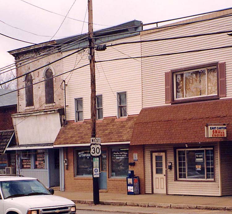
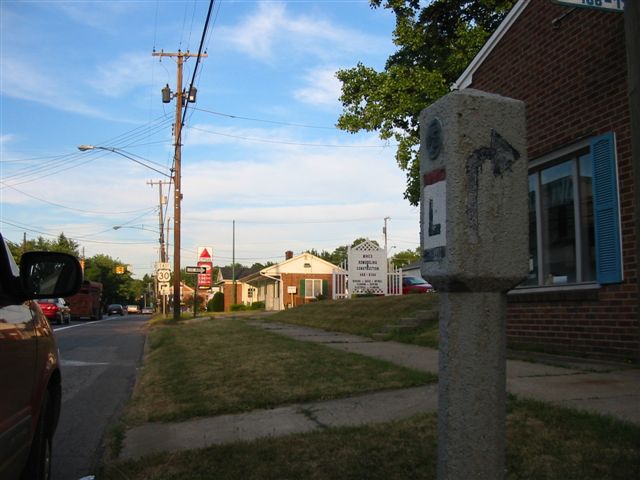
East Canton
There is an original Lincoln Highway marker designating a turn from Nassau Street Eastbound to Cedar Street Southbound (the current route of US 30) in East Canton (see this page for details).
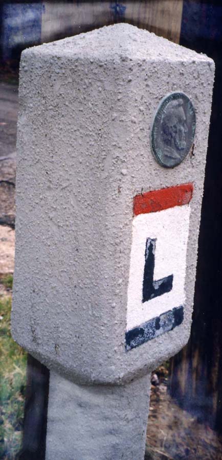
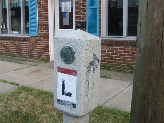
Close-up
Side view
US 30 follows the same route here even today.
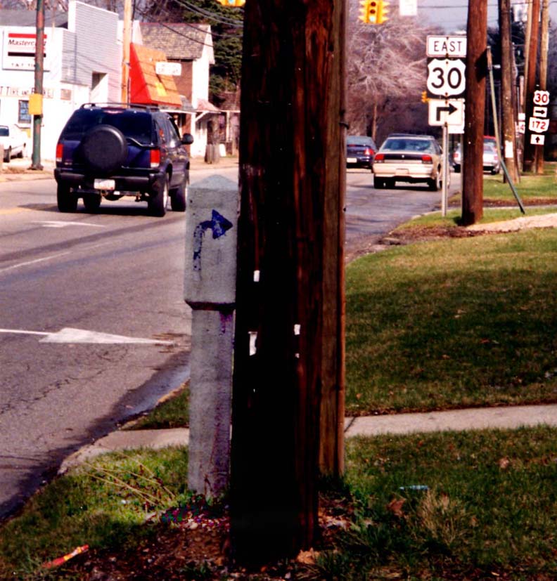
View from across the street
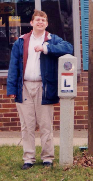
Leaning against the marker is the other editor of this website.
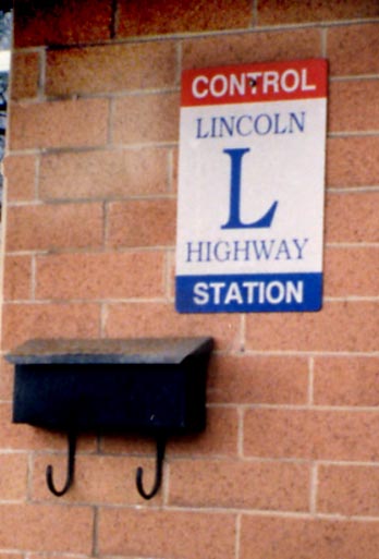
Lincoln Highway "Control Station"
On a building across from the marker is a sign declaring a Lincoln Highway Control Station (close-up of sign). Jim Rynders, member of the Lincoln Highway Association, explains control stations:
According to my reprint of the 1924 edition of A Complete and Official Road Guide of the Lincoln Highway, page 33, these "Control Stations" were used to set the "zero odometer" point for determining distances between locations on the Lincoln Highway. For East Canton, the control station was the Post Office, and perhaps this is where the post office was located in 1924.
Brian Reynolds Take on the East Canton Concrete Post
Looking East
Angled view Shows Front and side
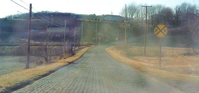
Old Lincoln Highway sections between East Canton and Minerva
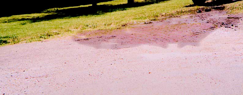
The Shaded area towards the top of the photo contain bricks originally used to pave the Lincoln Highway, in eastern Ohio. This spot is at the NE corner of Cindell Rd and US 30, east of East Canton
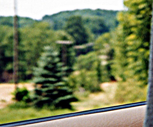
Try and drive this section of the Lincoln Highway. This path, between the trees, was a continuation of Cindell Rd (see above). Now it just serves as a path for the local electric co-op to maintain the electric poles along the way. To the far left, grading is being done for a new right-of-way for US 30. Between East Canton and Robertsville
This is Baywood St, between Minerva and Robertsville. This is noted as one of the last sections of original brick pavement along the Lincoln Highway in Ohio. Just turned onto Baywood St. looking west, just after turning off US 30 near Minerva for this photo.
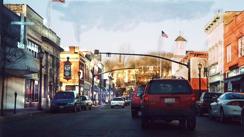
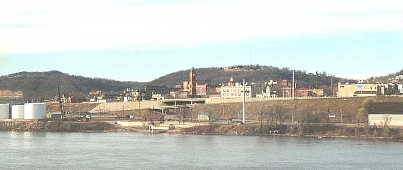
Minerva: Cityscape While this picture has nothing to do with the Lincoln Highway [itself] (you're looking NB on Oh 183), this is an example of a town trying to lure commerce with a retro look. Brick streets, old time facades, you don't feel like you're in the big city anymore. [Note: Many buildings in this area burned on February 28/March 1, 2003 Cleveland Plain Dealer | WKYC-TV (with photos) - MGF]
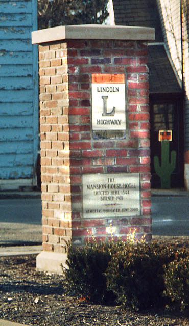
Hanoverton: Highway pillar The brick LHA posts come east. This one is in Hanoverton to commerorate a boarding house that burned down. At the intersection of US 30 & OH 9
Lisbon
Trolley car diners
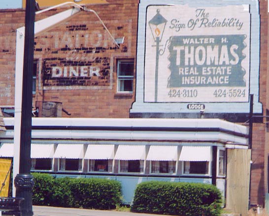
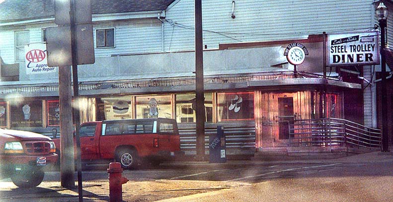
Top - Station Diner Bottom - Steel Trolley
Diner
They were all the rage back in the pre interstate
era, but are few and far between now.
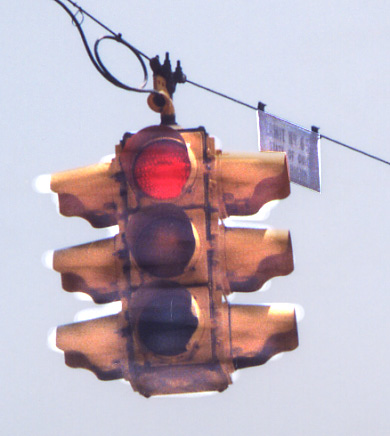
Traffic Light Permit Permit No 65 as by the State of Ohio Dept. of Highways (forerunner to Ohio's Dept. of Transportation) is what the sign says. This single unit 4 direction 3 lense traffic light looks like it's been at this intersection for quite a long time.
East Liverpool
East Liverpool Street Sign White text on gray background with a picture of Ohio on the far right.
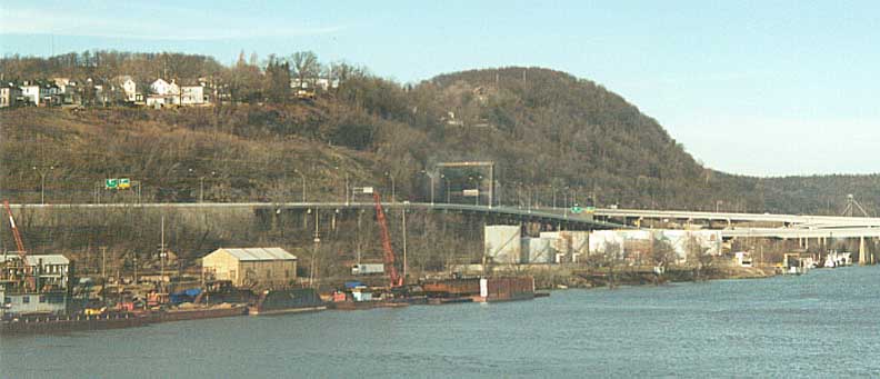
From Chester WV looking over the Ohio River at East Liverpool. Freeway in the foreground is US 30/Oh 39

US 30/Ohio 11/39 sign near 11's east end How did US 30 get secondary billing? [Ohio 11's southern end is at the West Virginia state line -- see here -- MGF]
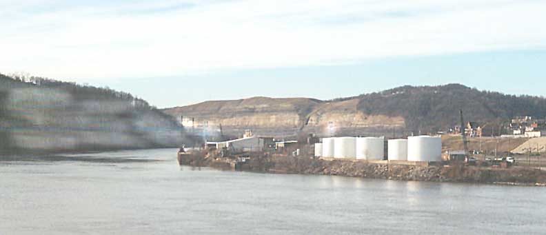
Above the oil depot you can make the faint outlines of another bridge between West Virginia and Ohio. Common misperception is that bridge was used for the Lincoln Highway/US 30. It was not! While a toll bridge, it was never used for the Lincoln Highway and was a temporary home for US 30 in the 70s while the new bridge was being constructed.
A closer view of the Toll bridge
Support for a old pulley and lift was left standing over the US 30 freeway just northwest of the Ohio River crossing
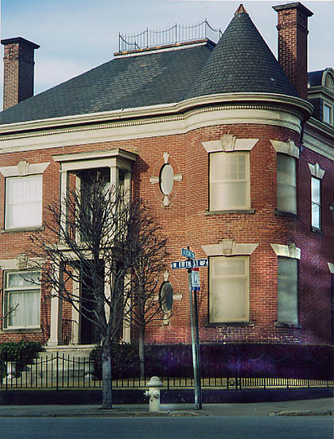
The first LHA marker I saw in East Liverpool coming from W. Va. I'm sure the house in the background is important for something too.
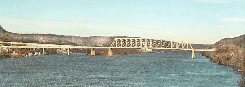
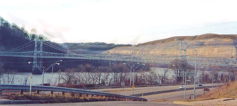
The new Bridge for US 30 over the Ohio River. Completed in 1978
From 1913-1928, The Lincoln Highway did not go into West Virginia and follow present day US 30 from Pittsburgh to East Liverpool, Ohio. In Ohio, it followed present day Oh 39 from East Liverpool into Pennsylvania.
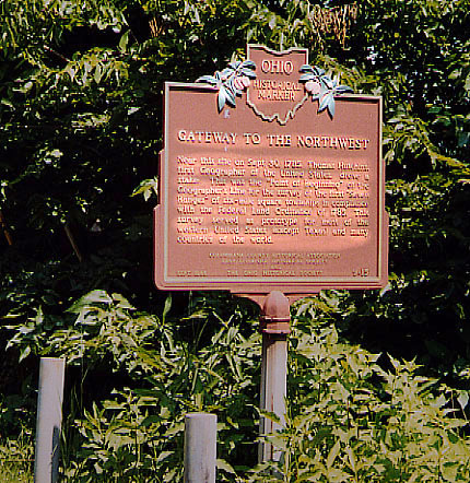
At the meeting point of Ohio, Pennsylvania, and Virginia (later
West Va) is an obelisk commemorating the "point of beginning"
for the survey system that established the township and county
system we all know as today.
The first picture is an Ohio placard commemorating the event,
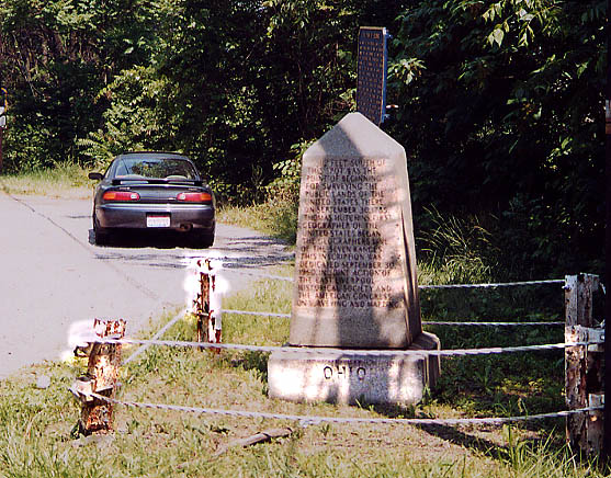
the second picture is of the "Ohio side" of the Border
marker.
The Ohio Historical Marker
Border Marker
This website covers construction of an US 30 freeway from the current end east of Canton to OH 11, near West Point
Page created on January 25, 2003/Last revised March 4, 2003
Questions and comments can be directed to Sandor Gulyas
Return to Ohio Lincoln Highway Page