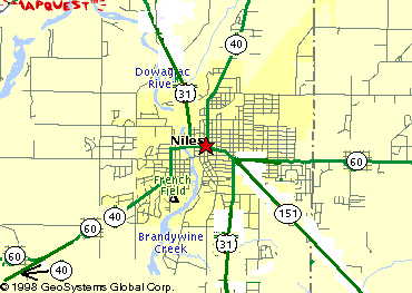
1918
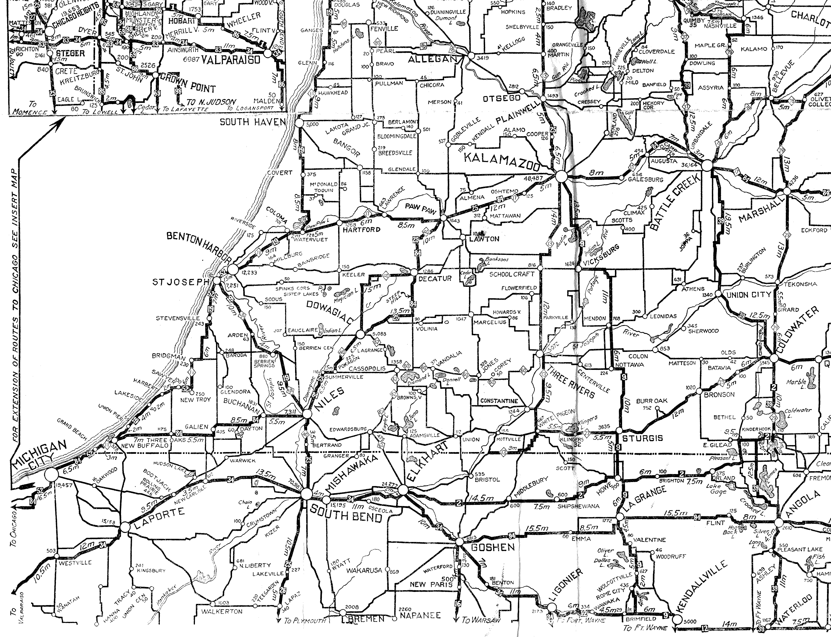
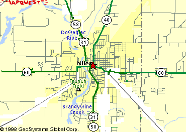
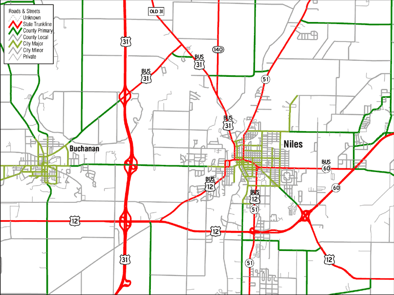
Michigan's state highway system was assigned in 1918. Soon after, signs were posted along the highways designating their numbers. Above is the original configuration of state highways in Niles. This is also reflected on this 1921 map excerpt (scan by Chris Bessert).
1922-1923
In 1922 or 1923, M-58 replaces M-40 south of their intersection downtown.
1925
M-60 is extended westward.
1926
In 1926, the U.S. Highway system is created. US 31 is run along M-58's route from St. Joseph southward.
1928
M-58 is removed from US 31.
1930
Around 1930, Eleventh Street is rebuilt and extended as a major thoroughfare, and US 31 is moved to it.
1931
M-151 is created.
1932

M-60 is shifted southwest to connect with a new highway west of town paralleling its old route to the south.
1933
M-40 is proposed to extend southwest to the Indiana state line where it would connect with a proposed Indiana 220.
1934
The M-40 extension proposal is dropped. M-140 (not shown) is extended south from Watervliet to US 31.
1935
US 112 is extended westward, replacing M-151. Go here for more US 112 history. (M-140 extant, not shown)
1938
US 33 is created, and runs with US 31 from South Bend, Indiana through Niles to its end in St. Joseph.
Around this time, there is a split of US 112/M-60 west of downtown, one which still exists (though the route is now Business US 12). I do not portray this split, which consists completely of two-way streets, on the maps on this page. Also, briefly around then, a US 31 reroute to the east of Niles was planned using in part 17th Street (see the Berrien County entry at the MDOT right-of-way map collection). (M-140 extant, not shown)
See also the 1951 Michigan State Trunkline System planning map (go here).
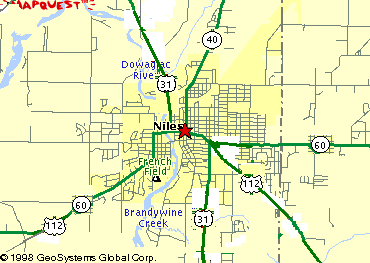
1956
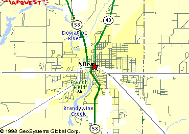
The southern Niles bypass is built. US 112 and M-60 are routed along it. The former routes of US 112 and M-60 through town are redesignated Business US 112 and Business M-60.
1962
In January 1962, US 12 is rerouted to replace US 112 (go here for more details on this). Consequently, Business US 112 becomes Business 12.
1966
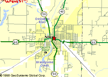
M-60 is truncated at US 12/Business US 12, and Business M-60 is truncated at Business 12/US 31/US 33.
The 1968 Michigan State Trunkline System planning map (see this page) shows some interesting plans for the Niles area, including the relocated US 31 coming very close to downtown and leaving to the north paralleling the original US 31 to the east, rather than the west as actually eventually built (which also led to the never-enacted plan to remove the M-140 designation), as well as a plan to extend the southern Niles bypass (today's US 12) eastward across the width of Michigan.
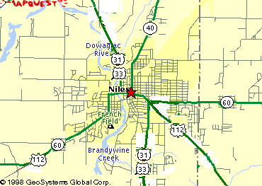
1971
M-40 is rerouted and the section coming into Niles is renumbered M-51. Also, around this time, the Business US 12/US 31/US 33/Business M-60 intersection is reconfigured.
1982
The US 31 freeway (by 1993 to be called "the St. Joseph Valley Parkway", according to this page) is completed northward to US 12, and US 31 is then routed along US 12 and Business US 12 into downtown Niles. Go here for details on the St. Joseph Valley Parkway.
1986
US 33 is truncated at US 12. Business US 12 is rerouted down US 33's old route north of US 12. Business M-60 is extended one block west to stay connected to Business US 12. (See note in the next entry)
1987
The US 31 freeway is completed to Walton Road northwest of Niles, and US 31 is run northeastward along Walton Road and a Walton Road realignment to the older route. The older route southward from there is a new Business US 31, which runs along the previous US 31 routing, except that it follows Business US 12 East back to US 12 instead of Business US 12 West. It follows US 12 westward to the US 31/US 12 interchange.
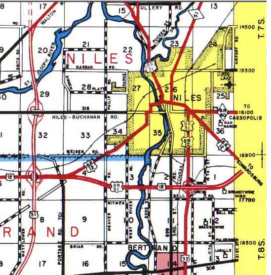
This portion of the 1990 official Berrien County road map, formerly available on the Berrien County Road Commission website, shows a three-legged Business US 12. It definitely was not signed like that, so what is on the map is either a compromise to show that the former Business 12 was still state-maintained (if in fact it still was), or simply an oversight.
1992
The US 31 freeway is extended as expressway (by 1999 it would be freeway) to beyond Berrien Springs. Business US 31 is extended along Walton Road.
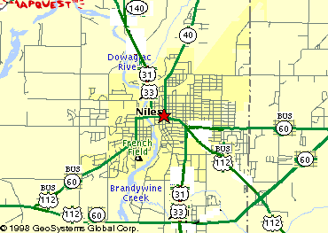
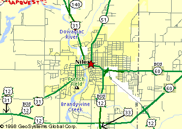
1998
On April 5, 1998, US 33 is truncated at the new US 20 freeway (St. Joseph Valley Parkway) southeast of Elkhart, Indiana. M-51 is extended along Business US 12 and the former US 33. (See this page for details on the Indiana portion.)
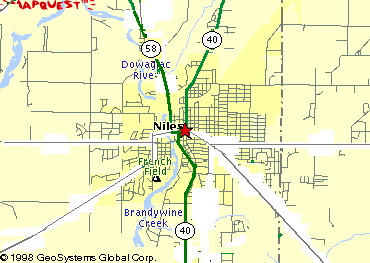
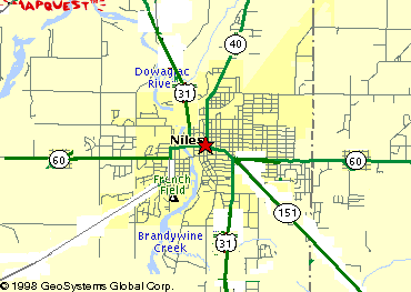
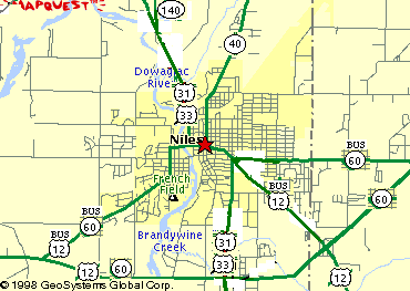
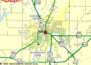
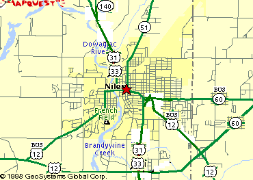
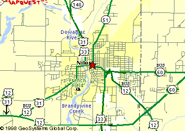
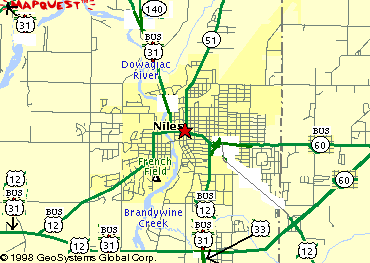
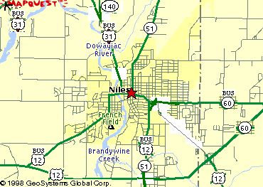
Chris Bessert put together this map of the area as he observed it May 31, 2003.
An extension of M-139 from the north may eventually replace Business US-31 (see the by designation page).