
It is not easy to follow the Lincoln Highway through Pittsburgh. It doesn't even really follow US 30 through here. There are 2 different routes going into Pittsburgh from the east and two different routes heading out west from the golden triangle.
Pittsburgh Region Street Signs - Whatever happened to MUCED dictated one line, white on green road signs?
Robinson Twp. Street Sign (along Old US 30 & 22)
Ambridge Street Sign (near Pa 65)
Swickley Street Sign (near Pa 65)
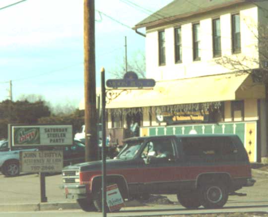
Wilkinsburg Street Sign (along Pa 8)
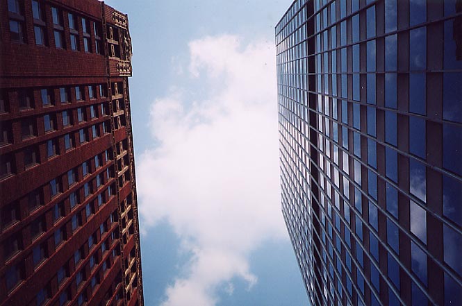
The silly things you can do with a camera and sunroof in an urban
area when stuck in rush hour traffic. The Lincoln Highway going
through the "Golden Triangle" along Liberty Ave.
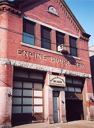
This old Fire Station is being reused as a community police station.
So, can anyone tell me how old this building is? Penn Ave. west
of Wilkinsburg
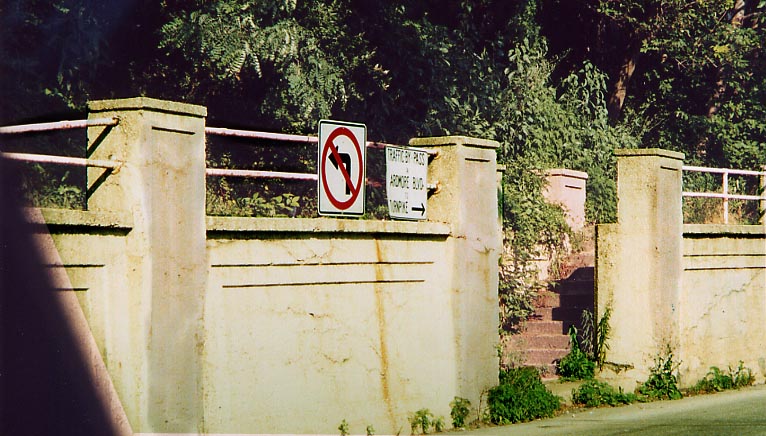
Ardmore Blvd. By-Pass? That's what the sign for this side street
mentions. Penn Ave. between Wilkinsburg and the Parkway East.
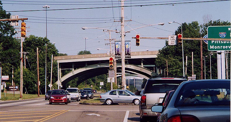
The Steel arches support the Parkway East (aka I-376) over Ardmore
Blvd (Lincoln Hwy). The median strip along Ardmore Blvd used to
be home to a trolley line according to Brian Butko.
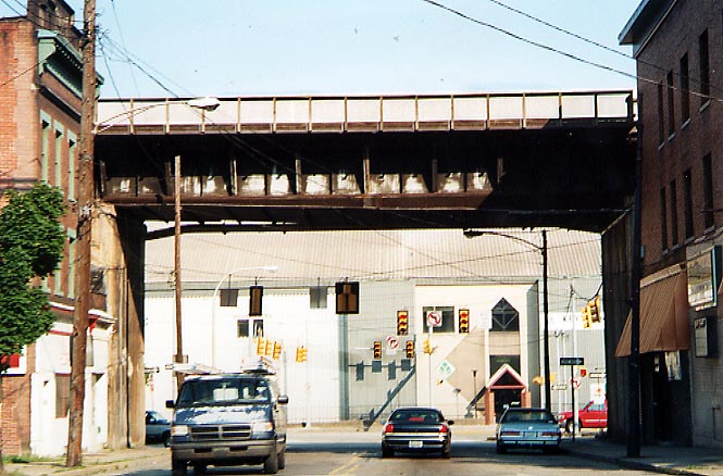
An example of some of the abandoned manufacturing & steel
plants that made this section of the (original) Lincoln Hwy. one
of the most congested points along the road. This section in East
Pittsburgh was bypassed by the Westinghouse Bridge to the SW.
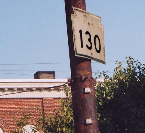
Here's something you don't see everyday, an old cutout Pa keystone
shield. Even more, Pa 130 is not routed along this street anymore
either near East Pittsburgh.
Page created on July 2, 2003 / Last updated on June 27, 2006
Questions, comments, and submissions can be sent to Sandor Gulyas
Follow Lincoln Hwy west to 1913 routing | Follow Lincoln Hwy east to Westmoreland Co. | Return to Pennsylvania Lincoln Highway Photos