
Irwin
Pennsylvania built
a bypass around Irwin for US 30 with the completion of the Pennsylvania
Turnpike
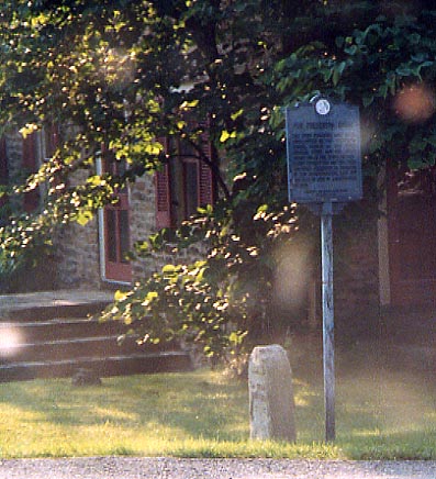
Pittsburgh-Philadelphia Turnpike Milemarker. 18th century forerunner to the Lincoln Highway. Along Old Trail Rd in Jacktown
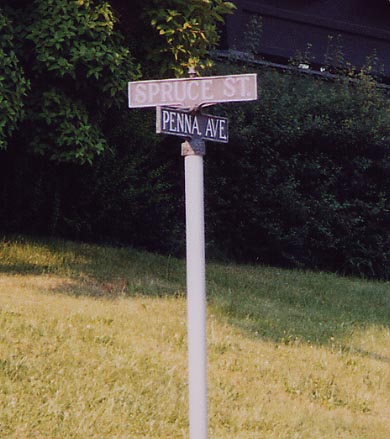
Irwin Streetsign Light gray on dark gray. Old time cast iron,
not the new thin stuff.
Greensburg
This is the style of marker is being used by the Lincoln Highway
Heritage Corridor folk between Irwin and Abbotstown.
This particular one is just east of Downtown Greensburg.
A painted LHA shield on the end of a bridge in Greensburg.
Greensburg Overview
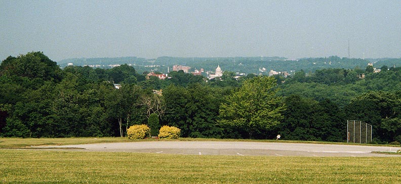
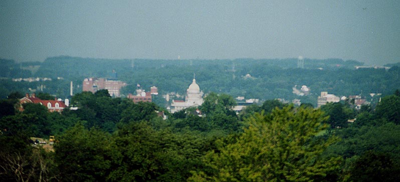
Looking west towards Greensburg from near Westmoreland Mall (and
US 30)
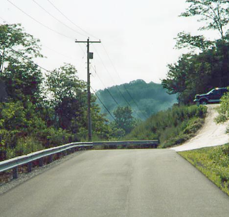
The guardrail ahead prevents this older section of the Lincoln
Highway from rejoining US 30 ahead (and below). East of Westmoreland
Mall
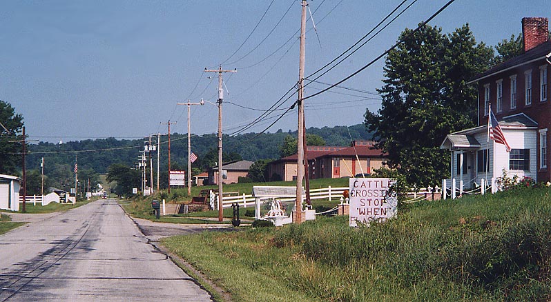
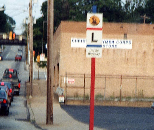
So who made this sign? It's definitely not MUCED standard (but
it's not along a state or federal highway either). Along Frye
Farm Rd between Greensburg and Youngstown.
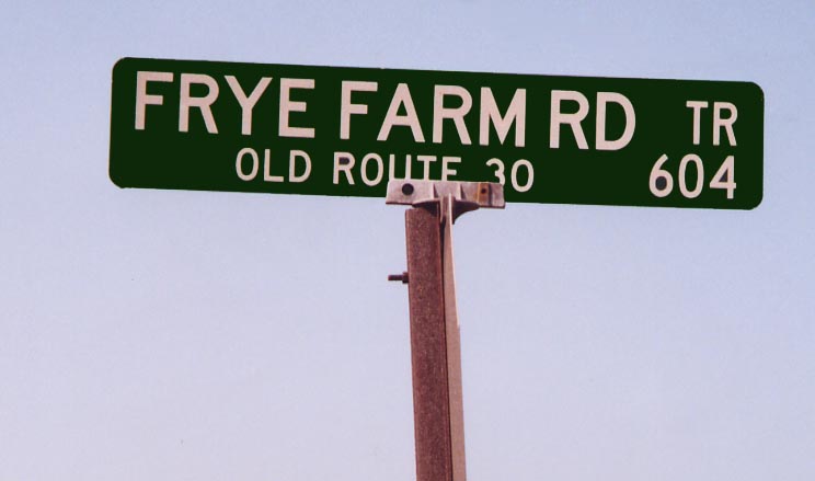
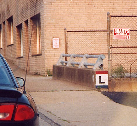
Of note here is the mention of Old US 30 at the bottom of this sign. Between Greensburg and Youngstown.
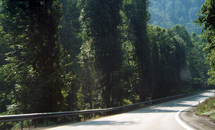
Between Youngstown and Ligonier, US 30 straddles Loyalhanna gorge on both sides. The EB lanes follow the original Lincoln Highway, while the WB lanes follow the roadbed of the former Ligonier Valley Railroad. Alas, in this picture you are heading EB with the gorge and WB traffic to your left (behind the trees)
Ligonier
The Diamond at Ligonier
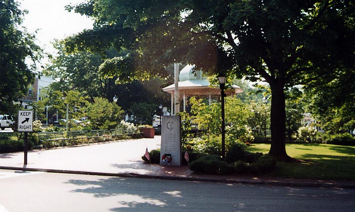
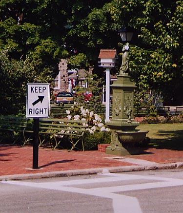
From left to right; Gazebo in the middle of Ligonier diamond,
Water fountain on the northside of Ligonier diamond (reportedly
damaged, or taken out, by a snowplow back in February) and a monument
to local fallen soldiers (I think the object wrapped in black
plastic might have been a LHA concrete post)
I
got an email from Dana Pratt back in September, 2004 correcting
me as to the name of the Downtown Ligonier. Thus I changed references
from "square" to "diamond."
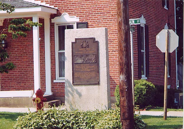
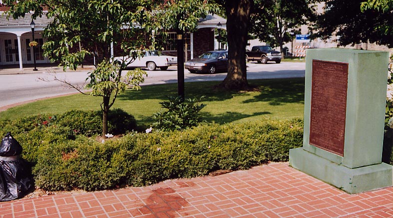
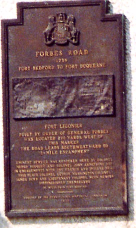
On the east side of Ligonier is a memorial to Forbes
Rd. A close up of the plaque below.
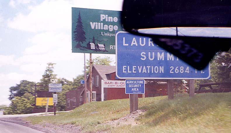
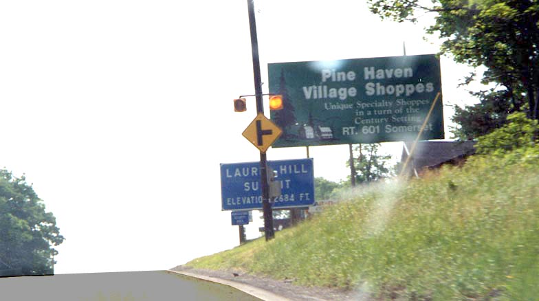
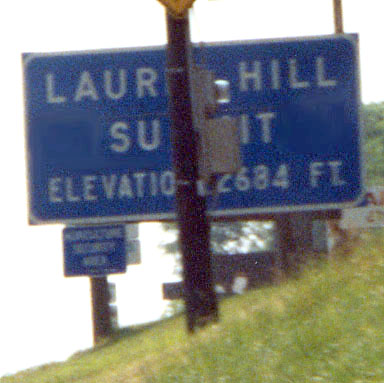
Laurel Hill Photos - The Lincoln Highway goes over Laurel Hill between Ligonier and Jennerstown

Dangerous Curve
Maybe I should try to get a picture of this sign going WB, since
I always get something in the way going EB
From left to right, Laurel Hill Attempt from July 2000 (with OSU
Parking Tag in the way), Laurel Hill Attempt from July 2002 (with
sign and pole in the way),
Laurel Hill Second attempt from 2002 (with pole in the way)
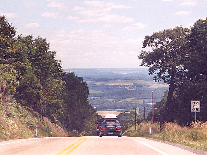
Approaching the downslope towards Jennerstown. Going EB on US
30 from 2000 trip
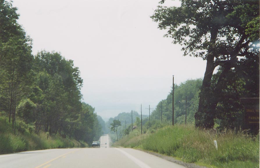
Similar to picture above, but I'm further down the hill. From
2002 trip
Page created on July 2, 2003 / Last updated on January 22, 2005
Questions, comments, and submissions can be sent to Sandor Gulyas
Go west to Pittsburgh LH photos | Go east to Somerset/Bedford Co LH photos | Return to the Pennsylvania Lincoln Hwy Page