
These following images are from the Cuyahoga County Engineer report from 1909 and can be found at the OSU Science & Engineering Library. It only took me two years to get around to posting these (part of the problem, there were more images I was going to add, but I never got around to it). The photos are sorted most part geographically going counter-clockwise loop around Cleveland starting on the eastside going south and around to the west side of the city. Sorry about the wait, enjoy.
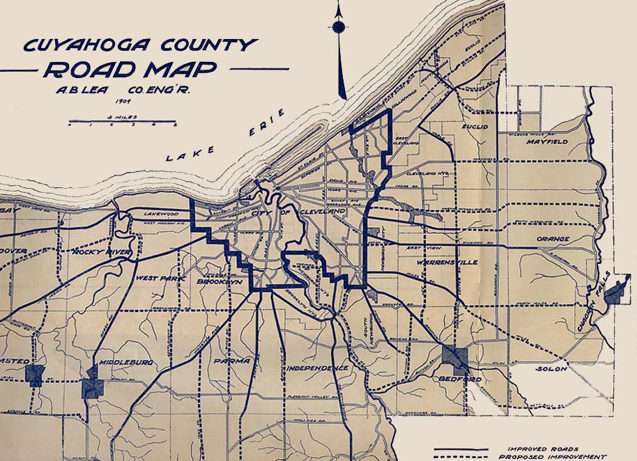
The political boundaries of Cuyahoga County in 1909
Page created on July 15, 2006/ last updated on July 17, 2006
Questions and comments can be sent to Sandor Gulyas or Marc Fannin
Return to the Cleveland Virtual Roadtrip