(October 8, 2011, revised October 31) In early Fall 2011 my girlfriend and I took a five-day trip east, with me driving her midsize SUV.
Friday, September 30, 2011 (Lake County, Ohio to Niagara County, New York)
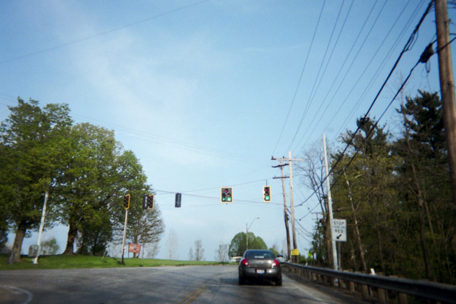
Ohio is apparently now a black signal state. Over the last year including the trip, I've seen, in multiple Ohio DOT districts on state-maintained highway, assemblies with backplates and reflective bordering, where only the bordering is yellow and everything else is black. Some intersections don't have backplates/borders, but are still all black. This is a recent development.
SR-84 at Riverside Dr. just east of the Painesville city limits (taken earlier in the year, on May 10)
Maps (2010s) at the Interstate 90 eastbound Pennsylvania information center/rest area (not officially a welcome center but still has an information counter)
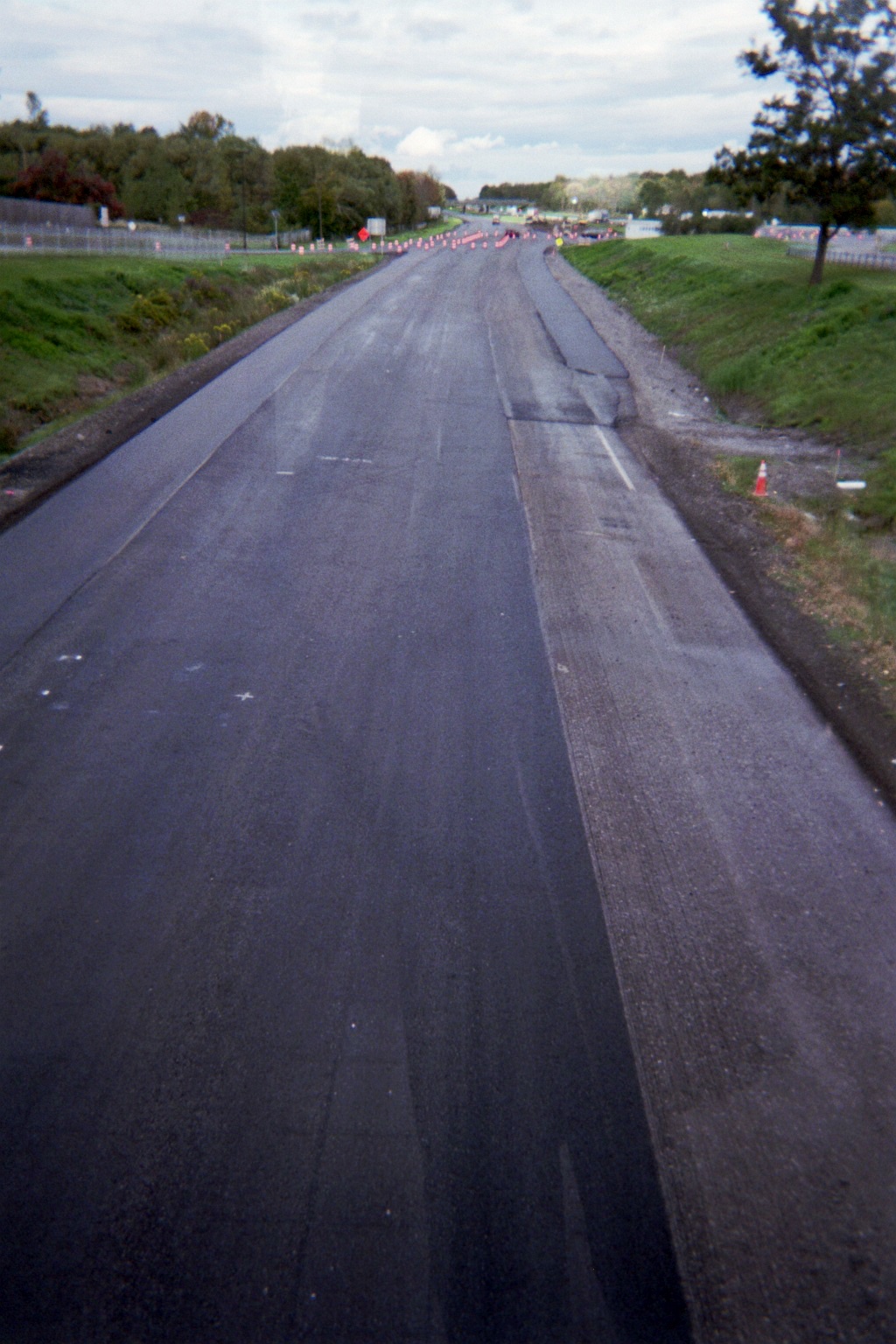
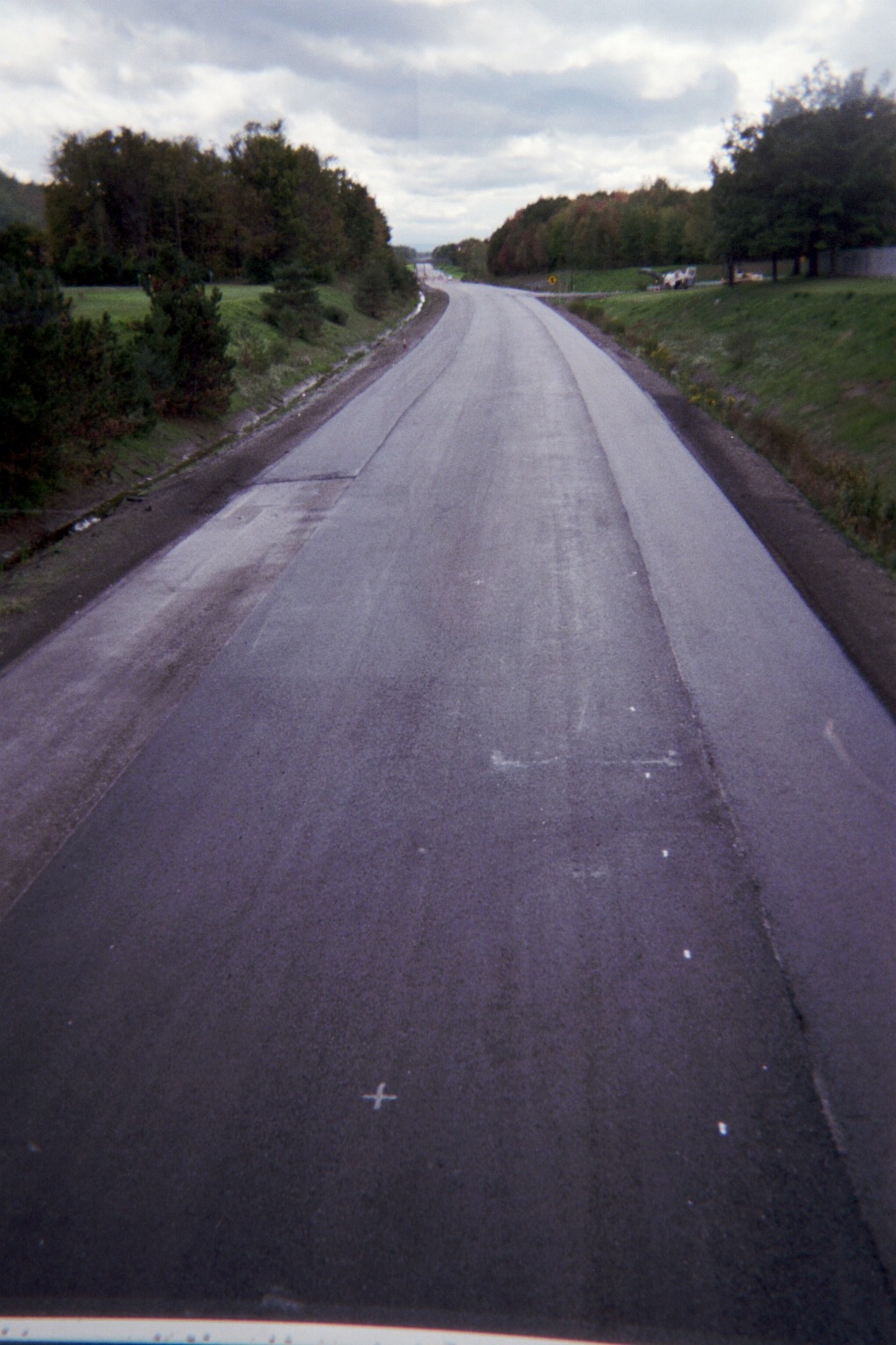
Stopped at the Angola Travel Plaza on the New York State Thruway; when we crossed the pedestrian bridge over the eastbound lanes to the median facilities we got to see both directions of traffic under us, as westbound was rerouted onto eastbound here due to construction. Therefore we also got to see the empty westbound road from the other (westbound plaza traffic was snaking around in the distance between the eastbound lanes and the westbound parking lot).
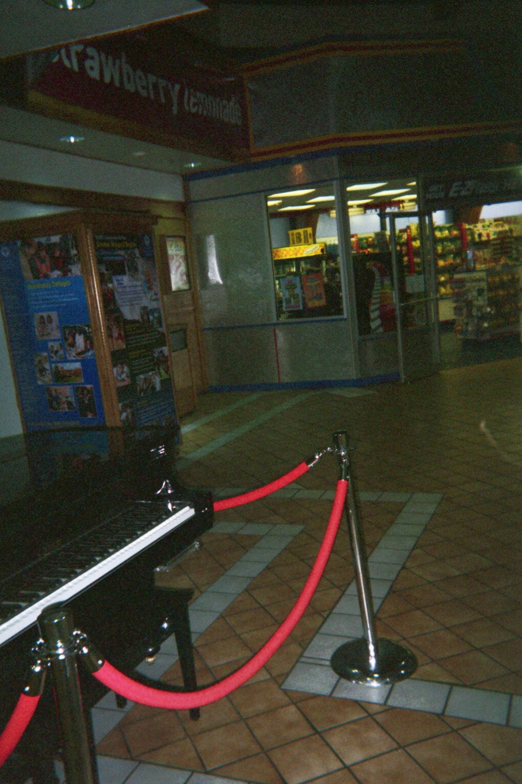
This plaza also featured a modern player piano with recorded backing rhythm section/vocal playing pop tunes.
When I ended up taking the ramp by accident after the mainline tolls at US-219's north end, my roadgeek instincts kicked in, and I just kept going knowing the C/D lane setup and simply took the slip ramp back to the Thruway down the road. Of course if my instincts were I there I wouldn't have taken the offramp in the first place....
Though I've always lived in a snowbelt on one Great Lake or another, I still can't imagine driving some of the steep ramps or elevated highways of Buffalo during the worst storms of winter (NY-5/Skyway, I-190 downtown, the ramps in the I-190/SR-198 interchange [Street View], the two sets of Grand Island bridges on I-190). Related, the counterweight of the drawbridge carrying Robert Rich Way over the Black Rock Channel of the Niagara River gets really close to southbound I-190.
While I understand the Niagara region's place in the history of electricity distribution, it still fascinated me to see the ancient power pylons scattered around.
Though I had been to Niagara Falls many times dating back to 1983, I never realized how the ramp from I-190 north to Robert Moses State Parkway west seems like an afterthought when driving it.
I figured that access to falls attractions hadn't changed much, but I diligently followed the "KEEP LEFT" signs posted on the left side of the Robert Moses anyway. Unfortunately, that message didn't mean "get ready to turn left", it meant "don't take a right exit here", so I missed a later exit on the right. Got to go through the 1st St./Rainbow Blvd. roundabout, though, as a result.
Where there are offset intersections at a traffic signal, the far intersection usually has programmable visibility signals so that side street traffic from the near intersection can proceed through a green at the far intersection while through traffic at the near intersection still has a red. Business US-62/Pine Ave. at 24th St. in Niagara Falls has an older version: Normal signals which flash red and have a right green arrow.
Due to I-190/I-290 interchange ramp rebuilding, the old ramps are now really narrow to accomodate construction of the new ones.
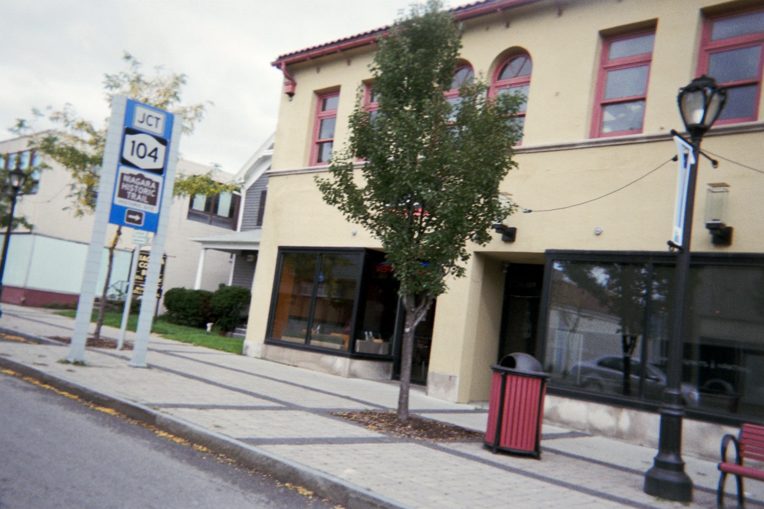
Just before US-62 eastbound/Ferry Ave. splits from NY-104/Main St. in Niagara, there are overhead lane assignment signs which actually refer to the intersection of Ferry and Second St. around the corner and out of sight. Being in the right lane, I was forced around the corner and had to use Third St. to return to Main St. en route to Pine Ave./Bus. US-62. By doing so I saw the specialized route markers (including an erroneous NY-62 marker). Unfortunately I just missed seeing if the old US-104 marker on Second at Ferry was still there (if in fact I did look to the right and saw it in the dark, it was the back of the marker sign).
Saturday, October 1, 2011 (Niagara County, New York to DuBois, Pennsylvania)
Side trip to Lake Ontario: Interesting how the Great Lake plains near the lakes look similar to each other. Parts of NY-425 north of US-62 reminded me of Ohio SR-45 approaching Lake Erie in Ashtabula County; SR-18 reminded me of the at-grade two-lane section of Ohio SR-2 eastward from Toledo.
The jog on NY-425 at Upper Mountain Road north of NY-31 favors southbound traffic, with all other approaches in both intersections having a stop sign. Unfortunately there were no supplemental signs informing of this, so going north it was a bit confusing for a second.
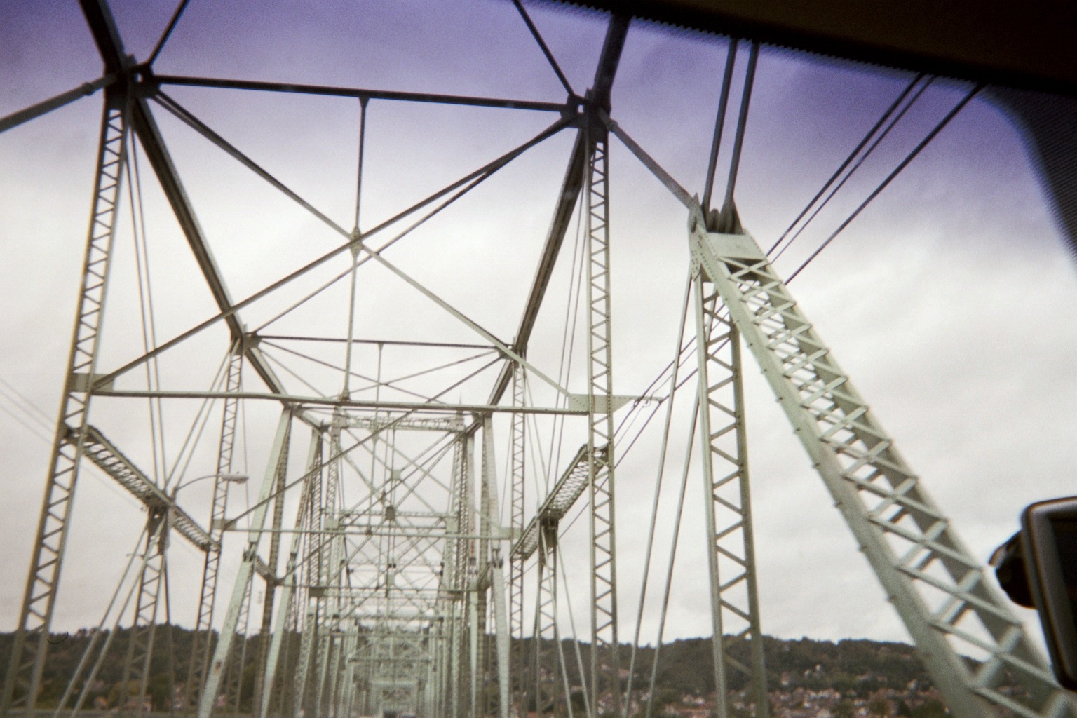
Interesting bridge on NY-425 near its north end, and another old one still extant on NY-18 over Twelvemile Creek just to the west.
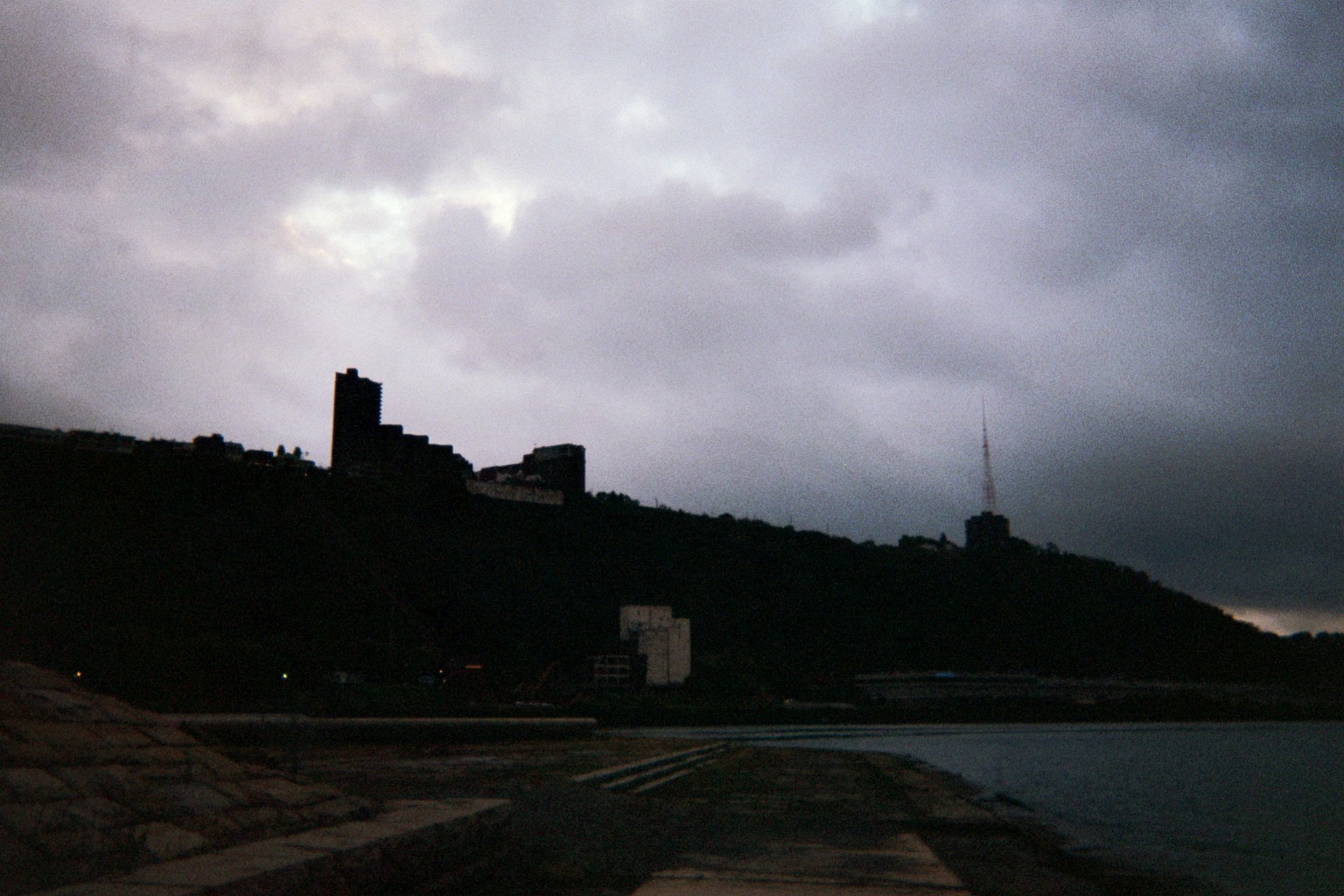
I should have known this, but it was a complete surprise when I spotted the Toronto skyline across Lake Ontario from the parking lot of Fort Niagara State Park.
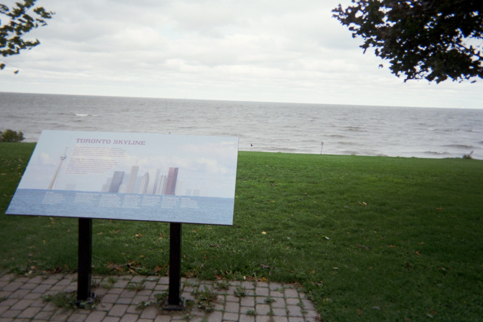
When this was taken, sustained winds were about 35mph, I estimate (note the choppy lake). The skyline is there in the photo, just barely visible above the right half of the sign.
New York is good at posting guide signs and markers, so much so that when a NY-18F confirming marker was missing heading away from NY-93's west end in Youngstown, I was afraid that I had missed a turn. Fortunately I spotted a reference marker soon after. In fact, they may be overachievers: I recall seeing instances of confirming markers heading away from intersections, with a reassurance marker already in sight in the distance. Hopefully at least one instance was an instance where they replaced the latter marker with the former but hadn't removed the latter yet....
From documents on the internet, it appears that the southbound lanes of Robert Moses State Parkway north about 10 miles from Niagara Falls were abandoned around 2001 for conversion to a bike lane, with northbound now carrying both directions of traffic. No bike lane yet, still just abandoned roadway.
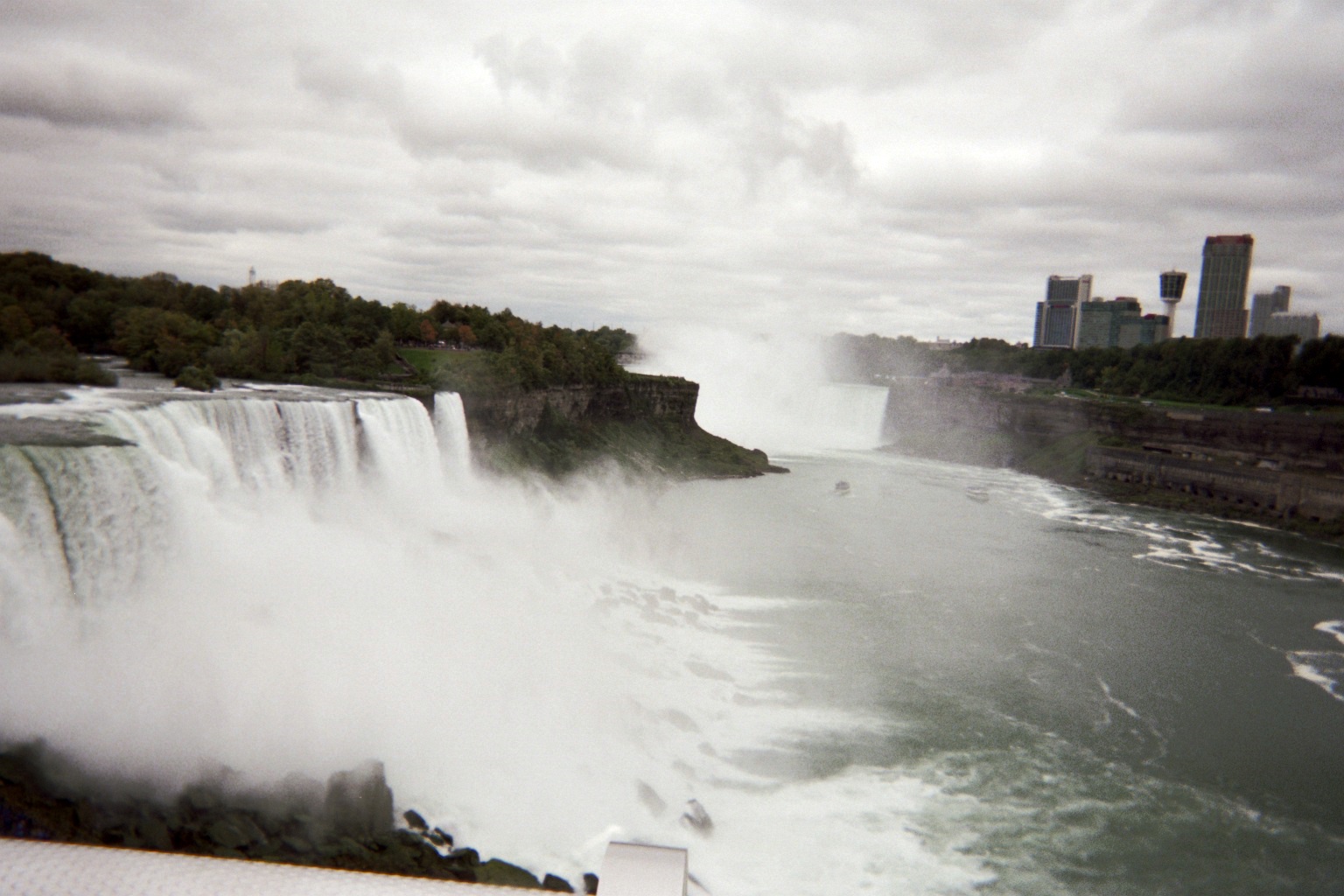
Token shot of the Falls from the observation tower
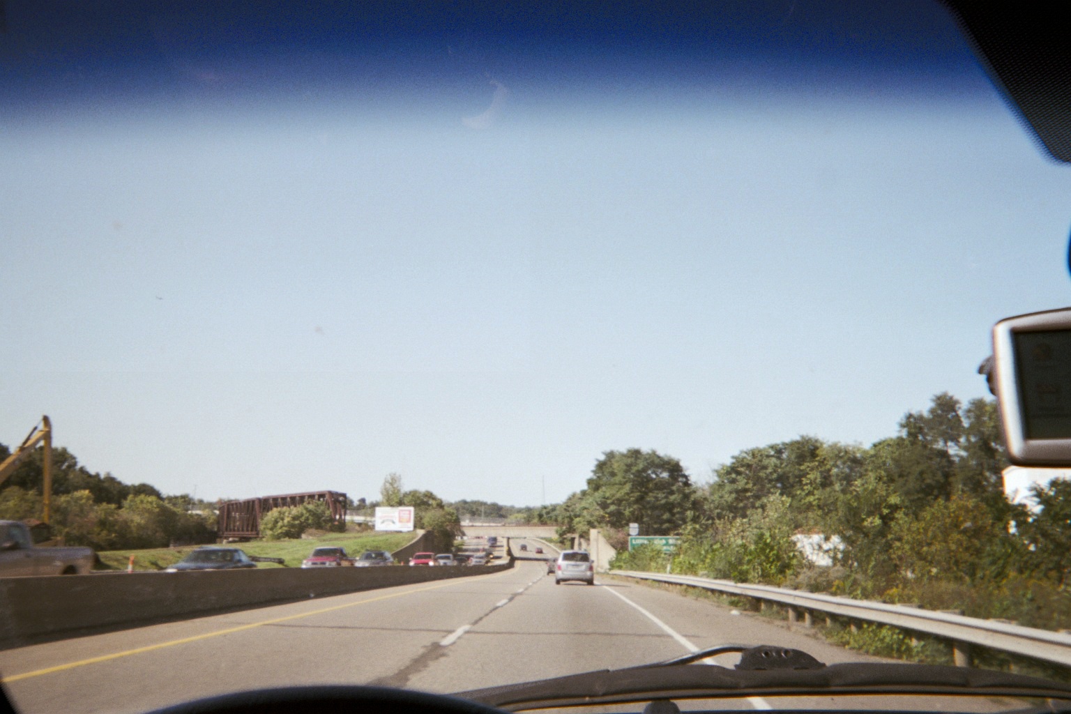
I-90/Thruway south of I-190 (still?) has a washboard effect which makes cars bounce. I thought for a second that it might be the truck, but it ceased when going over bridges.
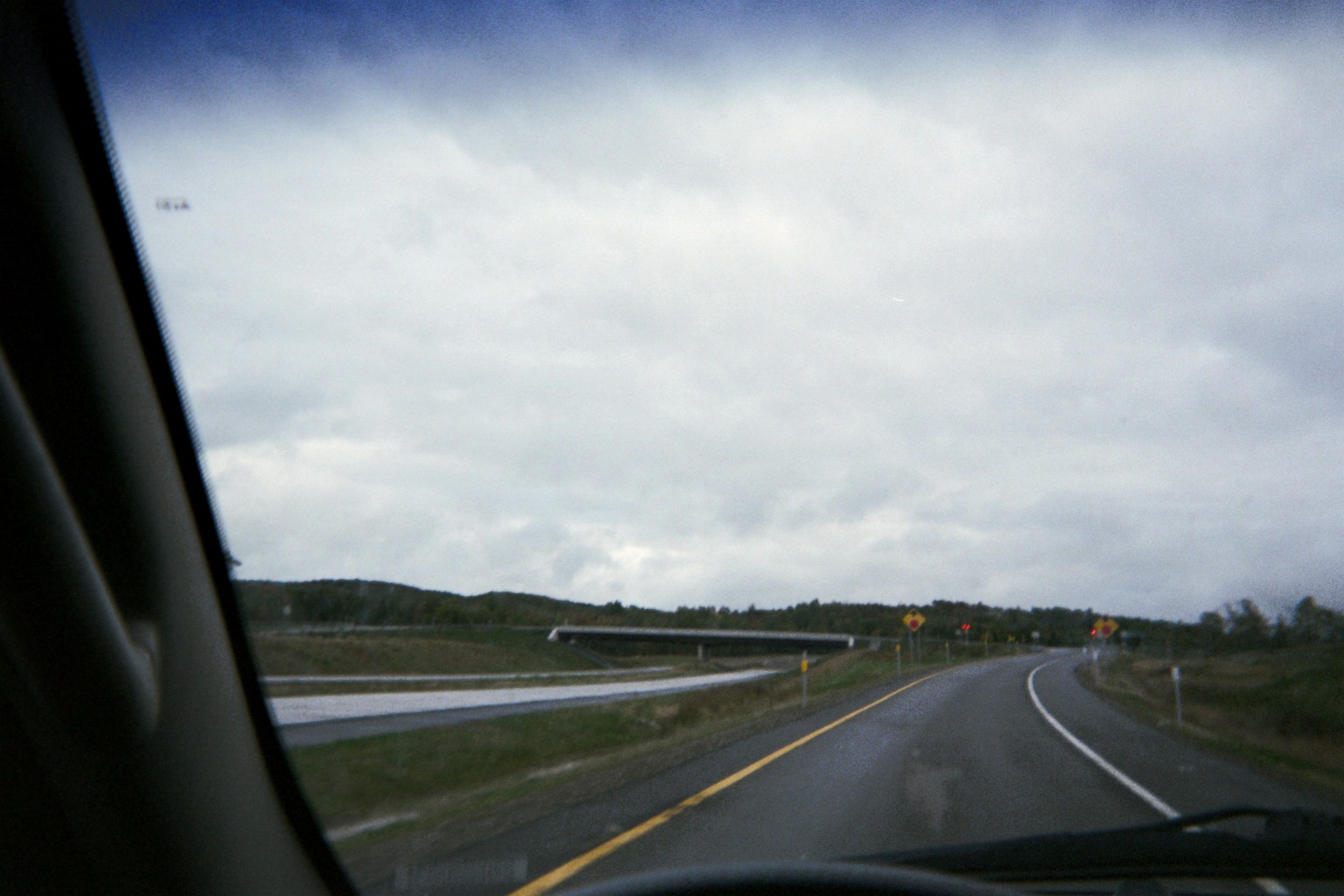
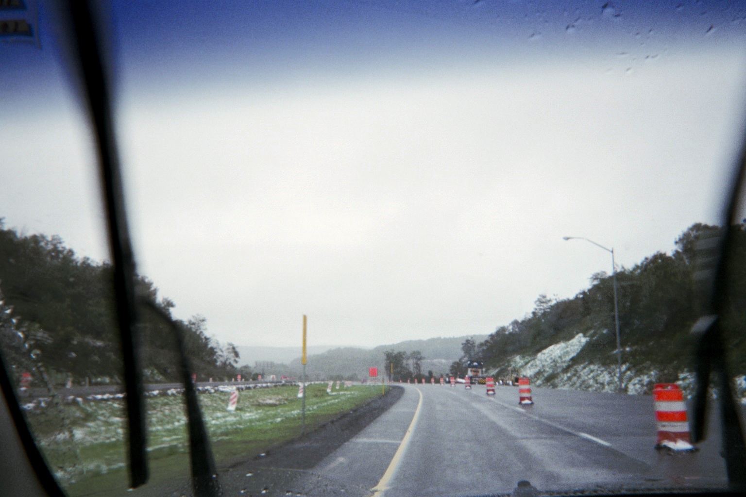
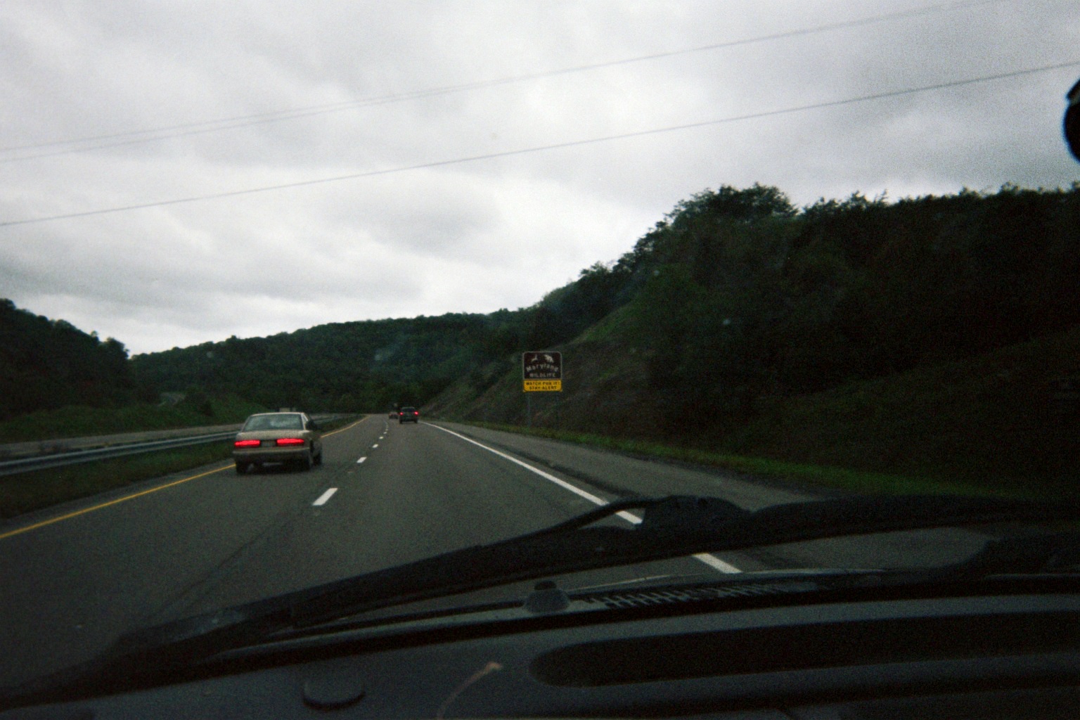
The one-exit extension of the US-219 freeway ("expressway") which opened one year ago, from NY-39 to Peters Rd. at the Erie/Cattaraugus County line, still looks new, and I guessed that it was new construction before I confirmed it later. A tipoff was the extra traffic control on the NY-39 offramp as compared to earlier offramps, which until last year was meant for mainline US-219 southbound. Such control is found on the current freeway end as well.
219 approaching 39
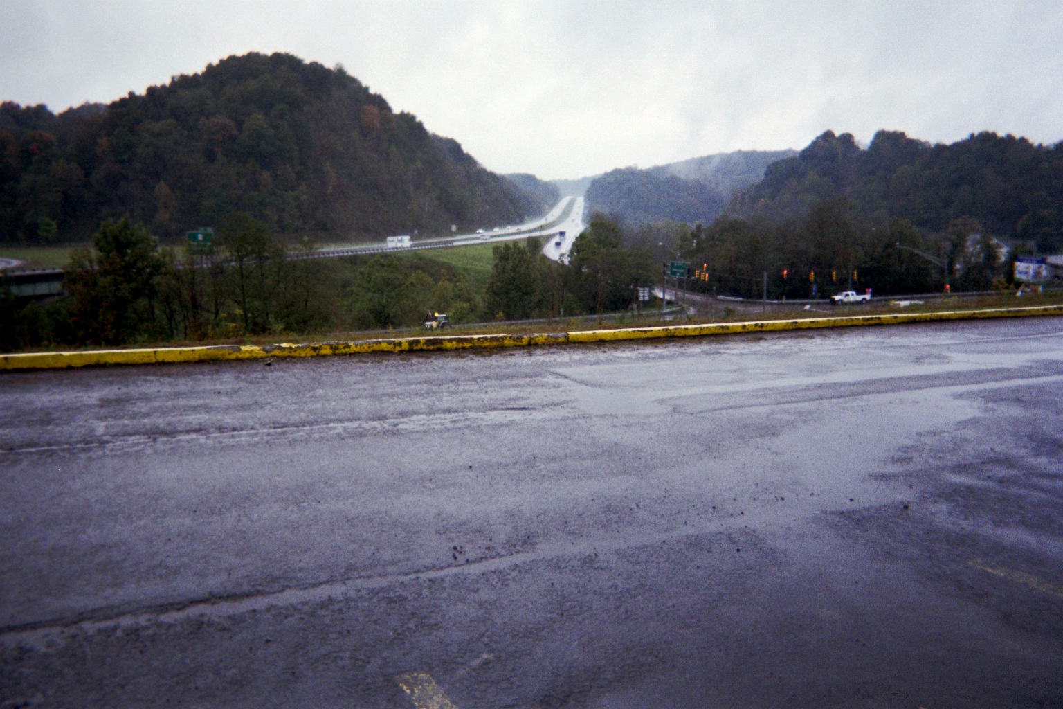
Current south end of the freeway
I usually don't comment about pavement condition, but the portion of I-86/NY-17 which US-219 follows as well as 219 to the south really need their concrete replaced. Ironic that the pavement got better at the Pennsylvania state line, as that state had a reputation for bad road conditions for so long a decade or two ago.
Note: Many of the following views including those on Street View are also available on the PENNDOT VideoLog
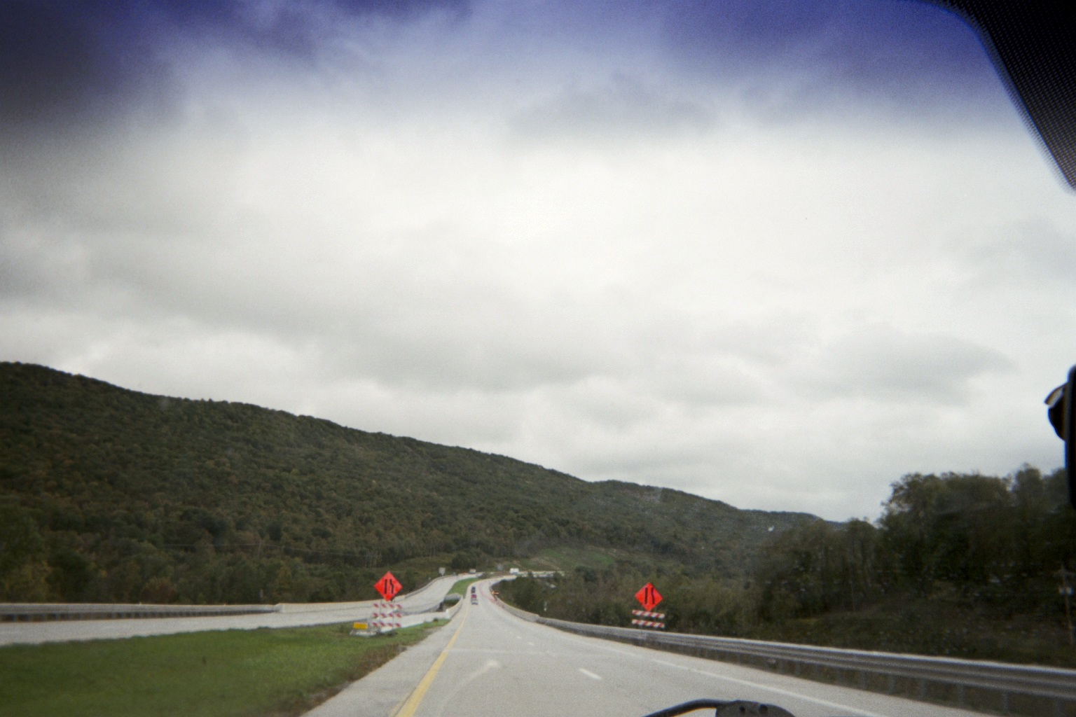
I knew that US-219 in PA was going to be up and down, but it was kind of cool how there was a consistent decline for about five miles from PA-59 to the Kinzua Creek crossing at the Westline turnoff (Westline Rd., SR-3006), then an incline of nearly the same length and slope back up to US-6.
PA is starting to use crossarms to mount flashing signals at intersections, rather than wires, such as at the US-219/US-6 intersection. Interesting look to me, especially in rural areas.
I've seen large highways whose two directions take different routes from each other both horizontally and vertically due to terrain, but not a two-lane city street, such as 219 on the north side of Ridgway. Speaking of Ridgway, I caught in the rearview mirror the split of 219 northbound and the northbound-only Truck US-219 which hooks up with PA-120 (former US-120) east of town. The white-on-black signs at the split are gone now, replaced with modern freeway signage.
It's not often that one has to cross an active railroad on a shopping center driveway, but DuBois Mall along PA-255 just east of its end at 219 in DuBois has one.
Sunday, October 2, 2011 (DuBois, Pennsylvania to Morgantown/Westover, West Virginia)
When I saw that US-119 southwest to PA-36 southeast was nearly the same distance as 219 southeast then southwest, a side trip to Punxsutawney was a no-brainer. In addition to seeing the obvious, I also saw an abandoned bridge pillar nearly directly across from the US-119/PA-310 intersection on the north outskirts of town. Consulting the topo, there in fact was a rail line that ran there, no doubt a mining, smelting, or logging spur no longer needed.
En route there, there were two sets of interesting destination signs. The first, at Stanley Rd./SR-4003 (Google Maps calls the beginning Camaro Rd.), were a pair of signs, each with different lettering. Strangely, each sign had a destination of Stanley – makes you wonder the name of the sign maker.... (Near miss on Street View.) On the second pair, at Rock Dump Rd./SR-2008, three of the four destinations were Paradise, Desire, and Panic. Not used to seeing a soap opera script on the side of the road...again, the Street View camera didn't quite register it, but, no surprise, it's all over the internet (do a Google Image search). However, not being a fan of daytime TV, I didn't realize that it had been made famous the fourth day of this year.
Approaching Ebensburg on, by then, what was the 219 freeway, we passed the east end of the western segment of US-422. At the time, that made it so that I had been at both endpoints of western US-422 this year without actually being on it. (I would drive the segment cosigned with I-271 later in the trip.)
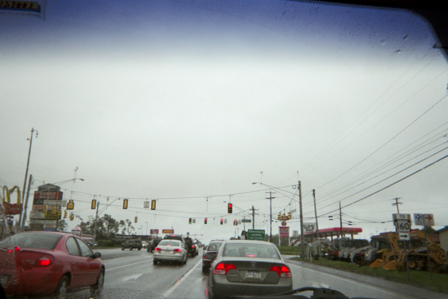
US-22 just east of US-219 by Ebensburg at Mini Mall Rd./SR-3032. Note the near signal heads as recommended by the Manual on Uniform Traffic Control Devices, Section4D.11. Interesting how this looks similar to the following:
SR-331 southbound at Jefferson Blvd., Penn Township, Indiana, near Osceola, October 6, 2009
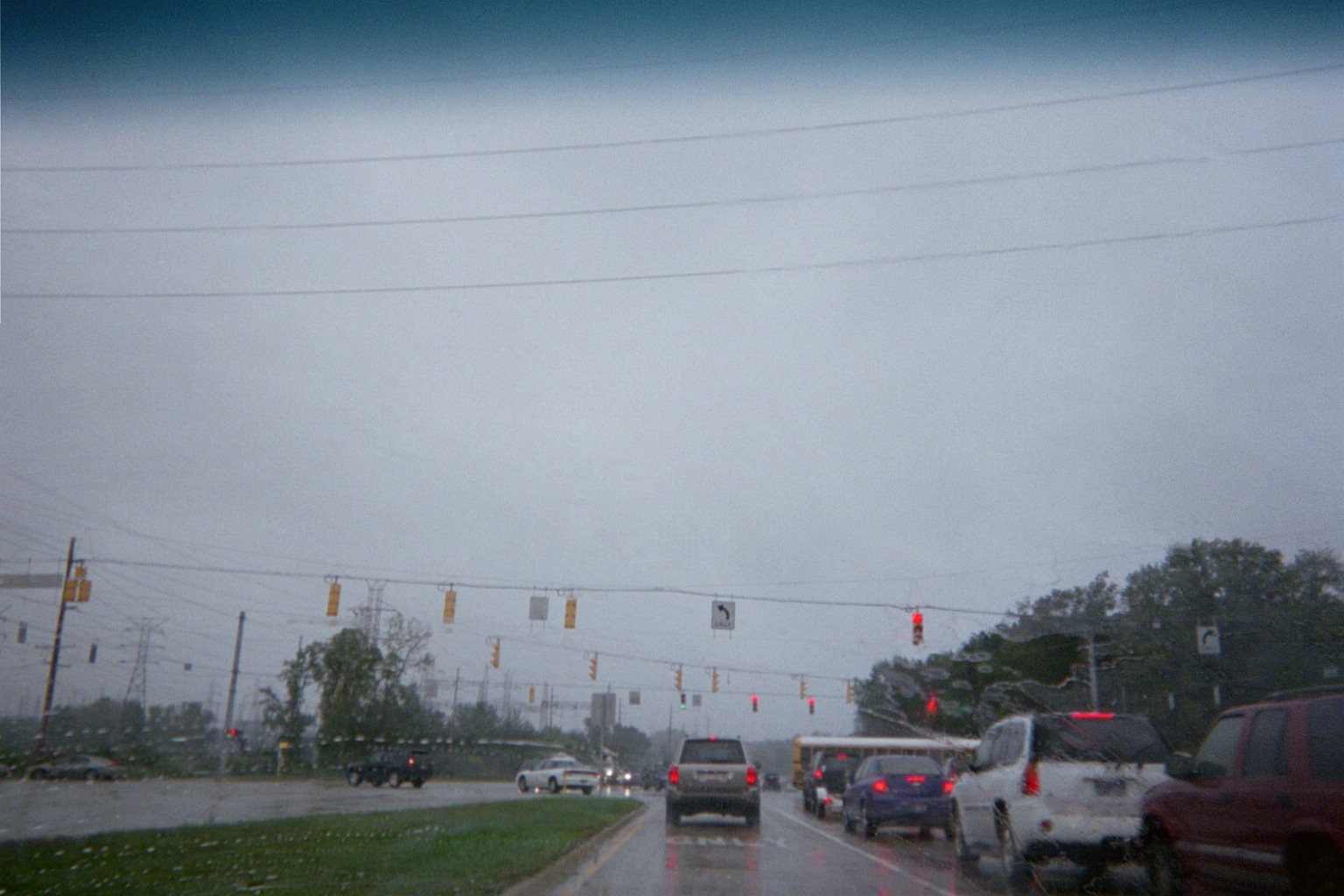
On US-22 south of Ebensburg. Those white blobs on the red lights over the through lanes are not a problem with the photo, they are lights from strobes, technically now MUTCD non-compliant.
Yeah, that's snow, on October 2, along US-22 just past the Gallitzin exit west of Altoona. We also saw some (always on the ground, never falling) on 219 a few miles before 22 and earlier along 119. Fortunately for us, being early fall, it didn't hang around. However, the entire trip saw a low-pressure system sit over the entire area that we covered until the very end. It included a record-low maximum temperature along the way, and the snow might have created a record for earliest accumulation in the area according to various local publications.
In Altoona on Bus. US-220 southbound at the Morningside Plaza entrance north of I-99/US-220 Exit 31. Spontaneous shot; sign says "CHEAPEST PLACE TO EAT IN ALTOONA". Ya don't say...Also, notice the old-fashioned classic Arby's hat sign.
For the I-99 haters, you'll be happy to know that the first set of overhead signs on Bus. 220 southbound approaching Exit 31 is still that which was posted before I-99 was designated so the number is absent....
Speaking of which, what seemed to get lost in the I-99 numbering saga is that I-99 has some nice scenic views.
I-99/US-220 southbound crossing Bus. US-220 and the Juniata River just south of Exit 23 (East Freedom, PA-36/164)
I was happy to be on a 1940 section of the Pennsylvania Turnpike, but disappointed that the Commission is replacing some of the original bridges.
A note about the Turnpike: There is a place along the Bedford–Breezewood stretch about two miles west of Everett where a road crosses under the Turnpike then crosses back over (Lutzville Rd., which becomes Ashcom Rd. when Lutzville branches off to the south). You can tell that the early construction of the Turnpike produced this – if it were later construction, likely Ashcom would be rerouted parallel to the Turnpike to avoid building two grade separations. (I wouldn't have noticed, but there were construction signal ahead signs warning of the single lane overpass over the Turnpike as part of the replacement project which at that point were for traffic heading away from the Turnpike just before the hairpin turn.)
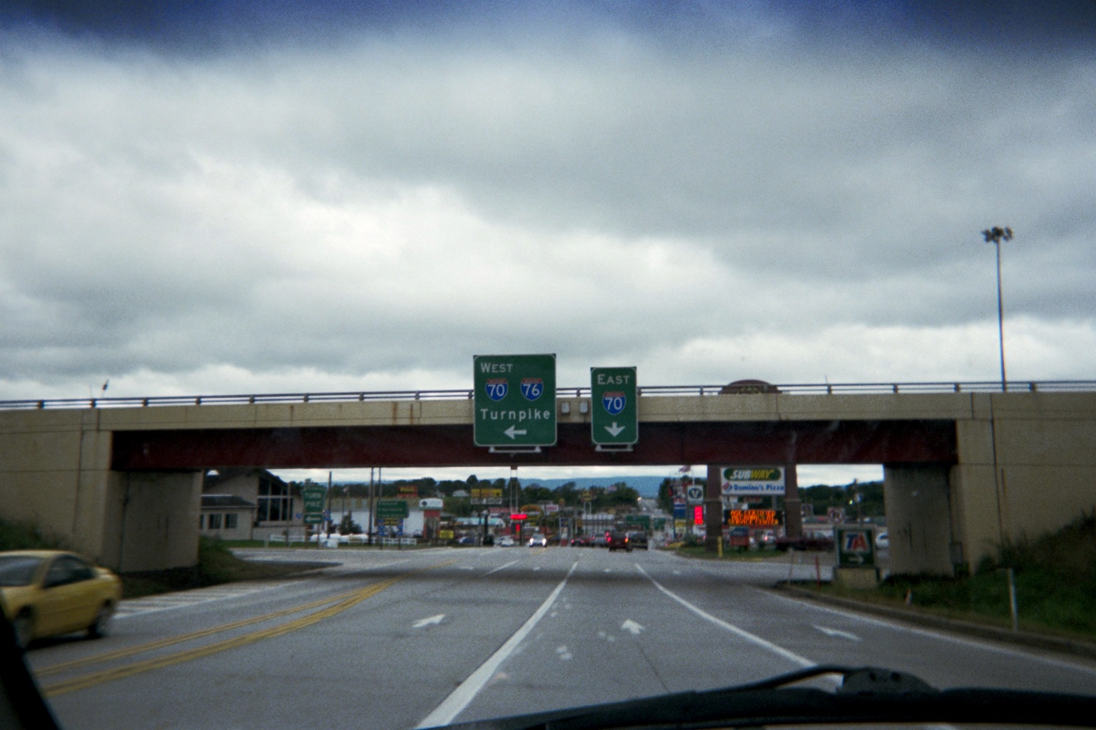
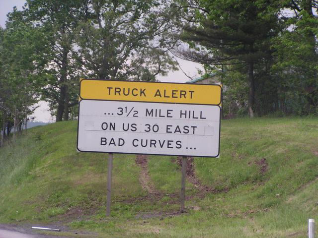
Saw the successive truck alert signs with the ellipses approaching the Breezewood exit. First; second (offsite photo from 2003) Funny how I-70 is downplayed on the approach signs (offsite, 2003), foreshadowing the I-70 gap. It's even more notable as one is actually still on I-70 eastbound at that point.
Where the abandoned Turnpike splits off from I-70/Breezewood ramps just before hitting US-30. Street View has great views of this.
Note: The above image, a "live" embedded Street View view, matches the link in the paragraph above it. The other Street View references are links only, since in my experience too many live embeds cause a webpage to load too slowly or freeze up.
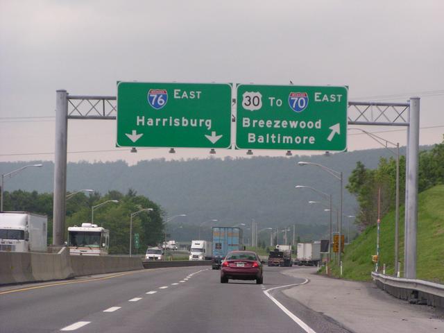
Good ol' Breezewood, framed by the Turnpike ramp carrying I-70 eastbound. This was my first time driving through, and it actually took less time than I thought it would.
Signage is unchanged on I-70 south from Breezewood for a few miles, so the big mileage sign where I-70 picks up again that I first saw in 1985 is still there! It also means that though left turns are permitted from I-70 westbound to US-30 westbound, traffic for US-30 westbound is still directed off at the South Brezewood exit (Exit 149) and north on Breezewood Rd. (former SR-126) in order to distribute traffic more evenly and keep the I-70/US-30 intersection open for those continuing west on I-70.
A rarity: a text-only sign in reflective sheeting for the I-70 eastbound two-mile advance sign for Exit 151, PA-915.
Attempt of a vista looking left (east) at PA-643 just south of its exit at Exit 156 from I-70 eastbound on Town Hill (approximate location on Street View)
Did the US-522 Pennsylvania/Maryland/West Virginia/Virginia and back trip; started at 4 and were back to I-68 before 5. I knew that it would be in a valley, but it was flatter than I expected.
En route on the way back in Berkeley Springs, WV
The two times that I was through the area west of I-70 as a teen, in 1985 and 1986, the I-68 Sideling Hill cut (then being built as part of US-48) was just being completed, so this was my first trip through it (I might have gone through it on the latter trip but I'd think that I'd remember something like that; in any case, this was my first time driving).
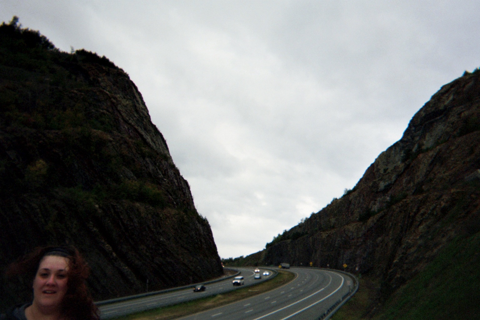
View of the cut, and, oh yeah, my girlfriend there in the corner
On I-68/US-40 west of I-70/US-522: Watch for deer and bears (saw neither) Better photo at different location, older color scheme
Too busy concentrating on driving in the bad weather for my own photo, but there's a cool double vista on I-68/US-40 westbound just west of Exit 29 (MD-546 to Finzel): When 68/40 curves left, you can see straight ahead where Alt. US-40/National Pike disappears into the hills, then see 68/40's own disappearance after rounding the curve. Offsite photo taken 2004
Just west of Frostburg there is a permanent sign specifically warning drivers of inclement weather further west on the next 28-some miles of I-68. Thought it was funny already being in bad weather but it did get a bit worse as advertised. It also inadvertently implies that the weather should clear up right at the West Virginia line, since the sign is at milemarker 28...of course the real reason is that the Maryland State Highway Administration can only take responsibility for its portion of I-68.
Stopped at the West Virginia welcome center, as much to have a break from driving in the weather as to get maps. Also picked up a coupon book and got a good deal on a motel room later in Westover, adjacent to Morgantown. Timing was good, as it was the tail end of West Virginia University's Homecoming weekend so rooms were available.
Monday, October 3, 2011 (Morgantown/Westover, West Virginia to Moon Township, Pennsylvania)
View from the motel up I-79 north at the US-19 exit (Exit 152). Note the sign for Exit 155, the WV-7/WVU exit (though the road at the exit is actually Chaplin Hill Rd./fractional county route 19/24, which leads to US-19/WV-7).
West Virginia's green highway ramp identifiers are very detailed, yet very small, probably no bigger than no parking signs.
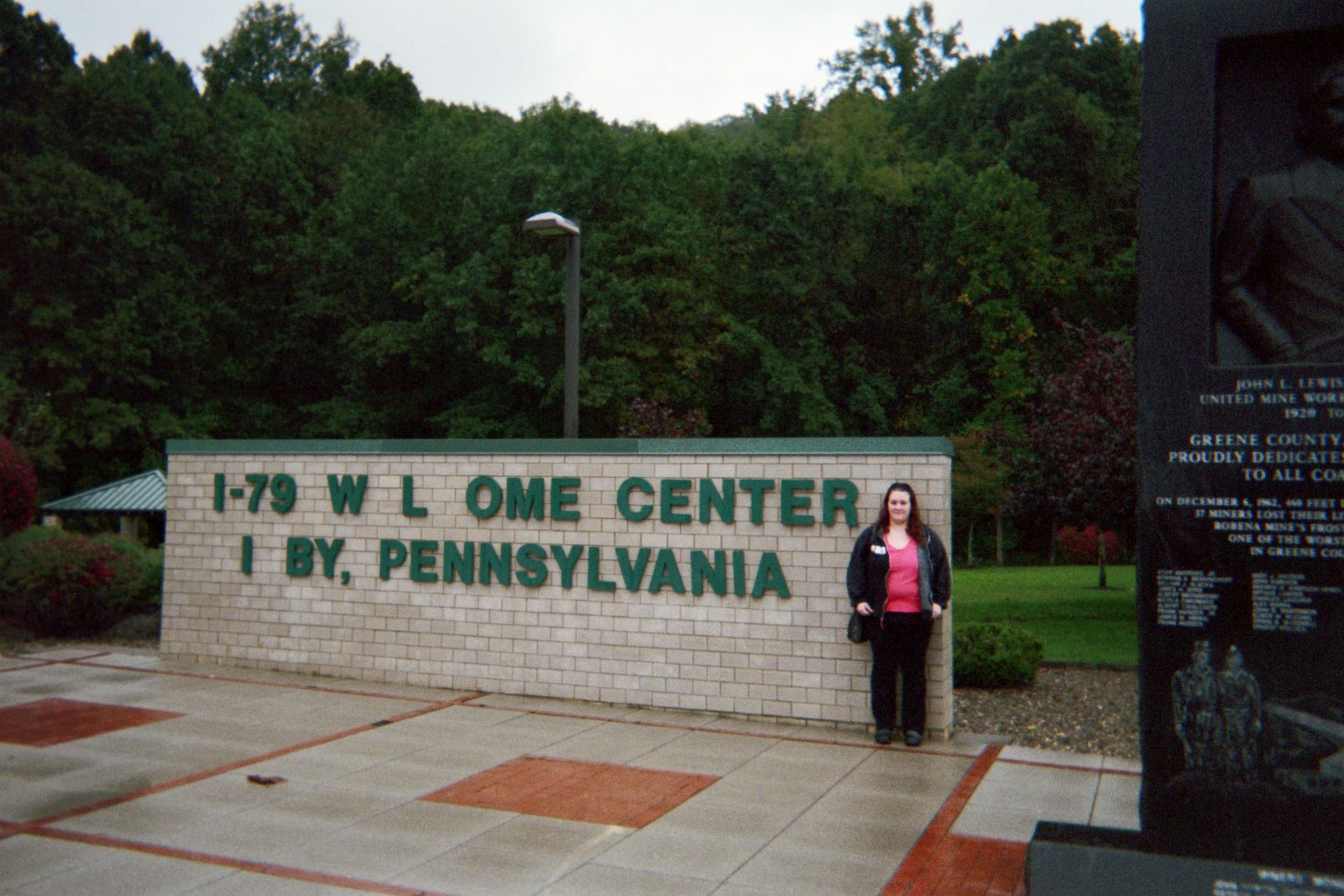
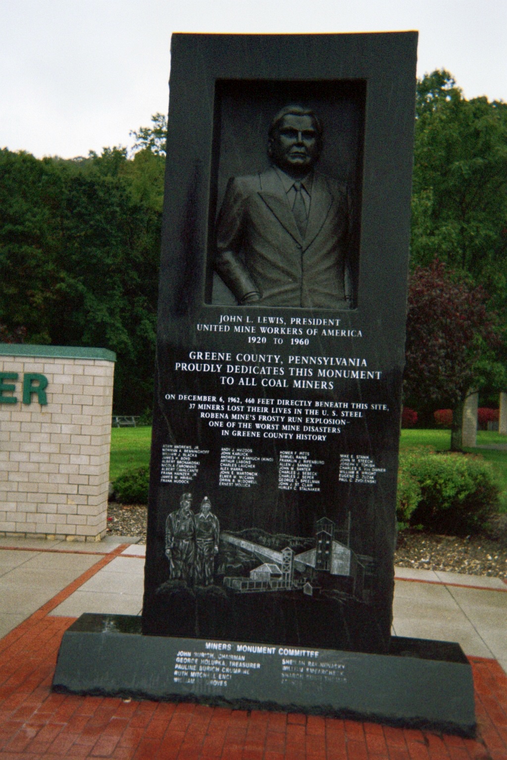
Stopped at the PA welcome center/miners' memorial on I-79 near Kirby to get Pittsburgh tourist literature.
The ramps for Exit 19 on I-79 southbound feed into (coincidentally) parallel US-19, which accesses nearby PA-221 which crosses under I-79, so signs read "US-19/TO PA-221". I-79 northbound's ramps feed onto PA-221 in a normal diamond interchange pattern, so signs read "PA-221/TO US-19"...except the first one, which accidentally has a legend intended for southbound traffic, so the route order flops between the first two signs.
I knew about the treacherous trumpet loop that I-79 northbound follows in the eastern I-70/79 interchange, but didn't know about all of the warning devices leading up to it (start at US-40 and work north).
Pennsylvania is now using a bigger sign for its ubiquitous I10-series signs (county/borough/city/township/etc. limit) on freeways. Very helpful. (Example, Amwell Twp. sign under Washington Co. green sign where I-79 leaves Greene Co.)
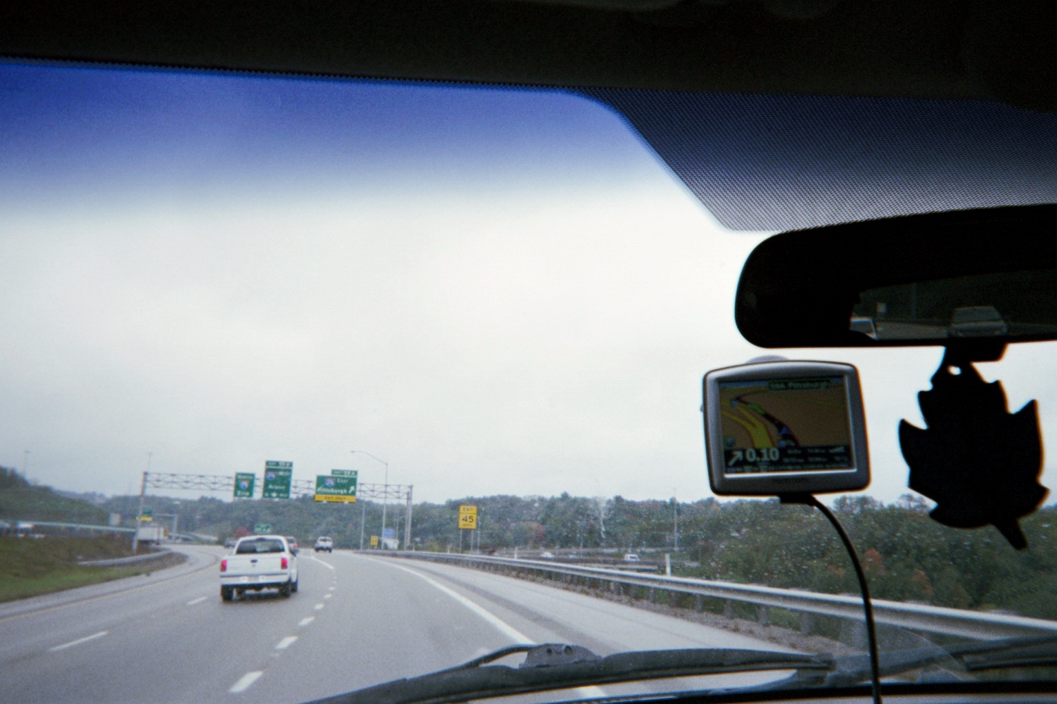
This was an attempt to compare what's on the signs (I-376) with what was shown on the GPS device screen (I-279, in the lower left corner) due to the recent I-376 western extension. (US-22/30, which run along I-376, are identified on a suppemental sign leading up to the interchange.) Note the new east-to-north flyover ramp in the left distance.
Urban truck runaway ramps are rare, but here's one on eastbound I-376/US-22/30/Penn-Lincoln Parkway West.
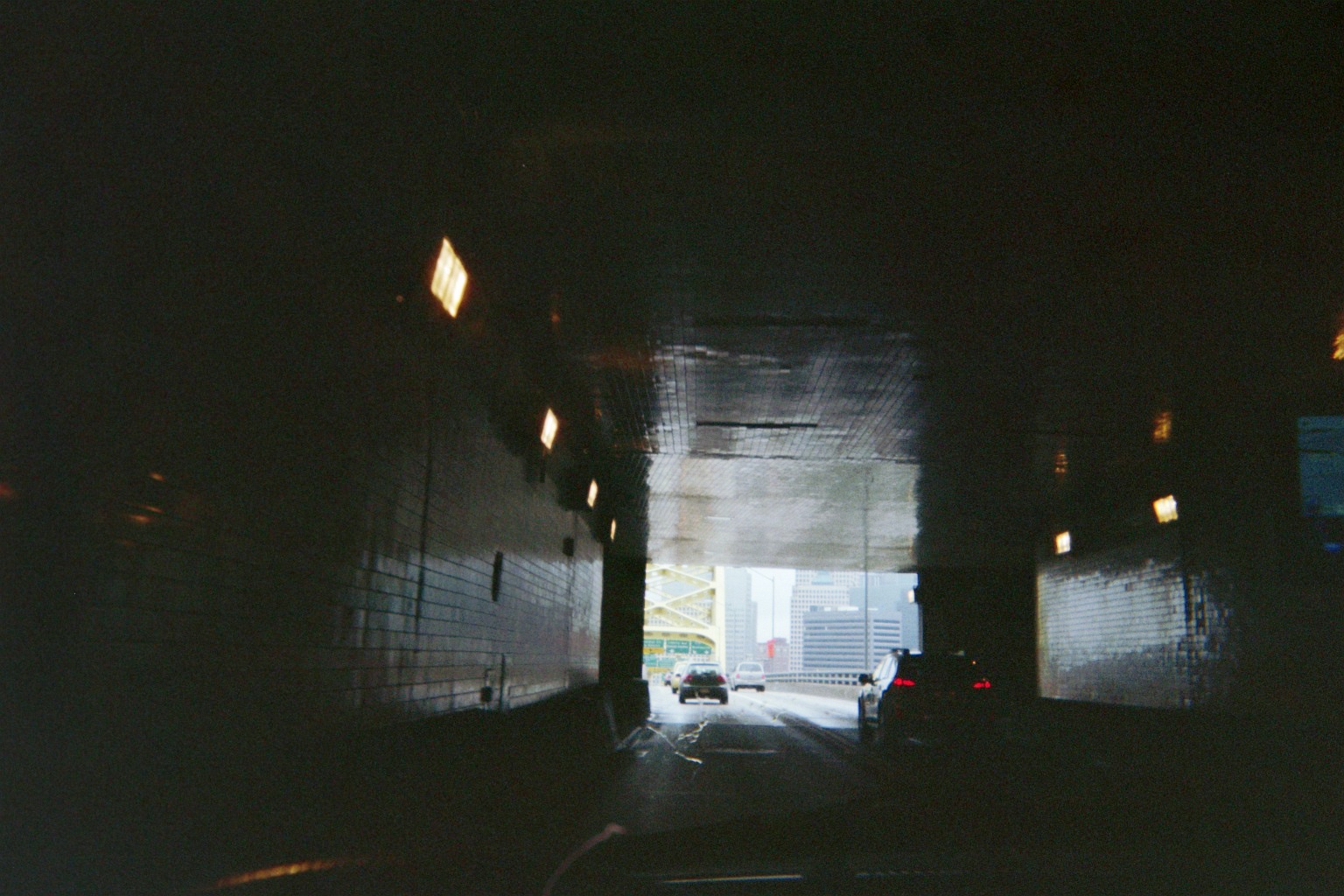
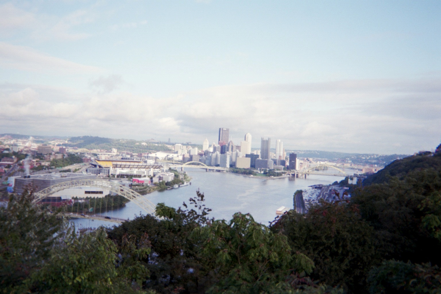
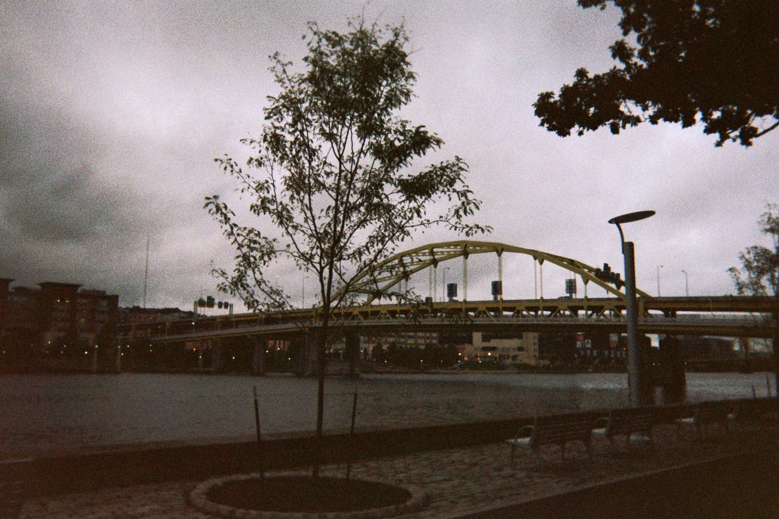
One of the more famous views of Pittsburgh is exiting the Fort Pitt Tunnel. I decided to take a picture just before exiting so both the tunnel and skyline are visible.
I had been in Pittsburgh before, and, due to there being family friends in adjacent Beaver County from birth, I used to focus on the city when compiling my map collection in my youth, so I was fairly familiar with how to get around. I even practically memorized the Pittsburgh Figured Out atlas/guide (amazingly, it's out of print, though the author has moved on to other helpful resources). However, I didn't look over the material well enough before reentering the city, so, even with GPS, I ended up with some interesting unintentional detours.
When we were informed at the welcome center that the museums were closed on Mondays, the Carnegie Science Center was out. We opted for the zoo instead. Taking PA-28 northeast, I made my first "detour" when I saw what I thought was a highway following the Allegheny River when 28 turned away from it. It was an optical illusion; the highway in the distance was 28 farther along, and the ramp I just took made a sharp left and dumped me onto the streets of Millvale. Fortunately reentry was fairly easy, and we got through relatively unscathed compared to the wide-load truck stuck on the traffic island at the end of the westbound offramp.
Saw the local landmark Shaler Township water department building with the waterfalls facing 28.
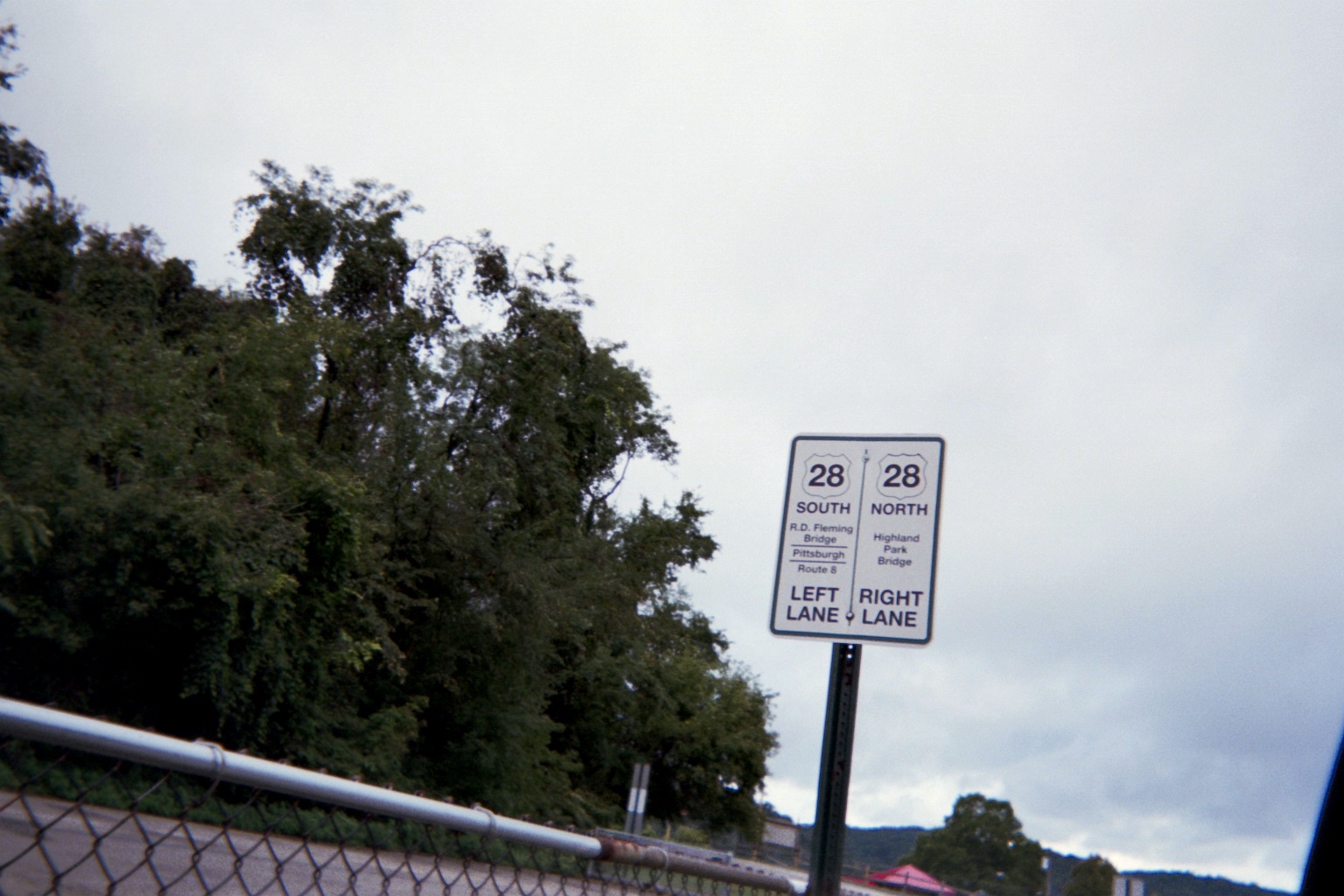
The east-to-south ramp leading to the Highland Park Bridge from Main St./former PA-28 has a stop sign, which replaced a yield sign – but the yield sign, post and all, is still there directly behind the stop sign. (Unfortunately neither Street View nor the VideoLog picked this one up.)
The bridge carrying the public street One Wild Place over the zoo access path
...And from One Wild Place's perspective (Street View)
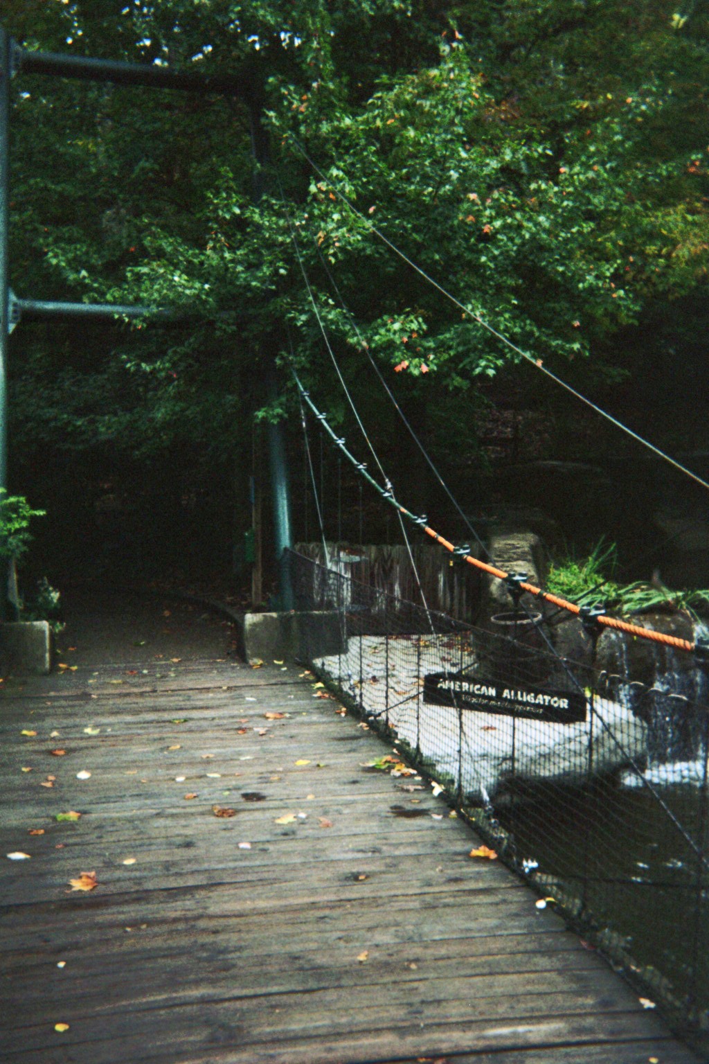
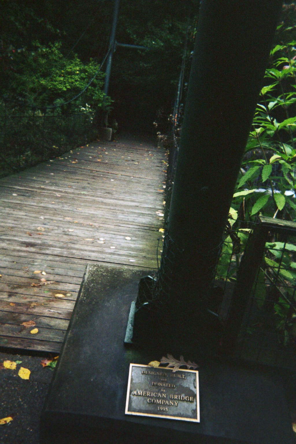
Two views of the suspension bridge in Kids Kingdom in the south end of the zoo
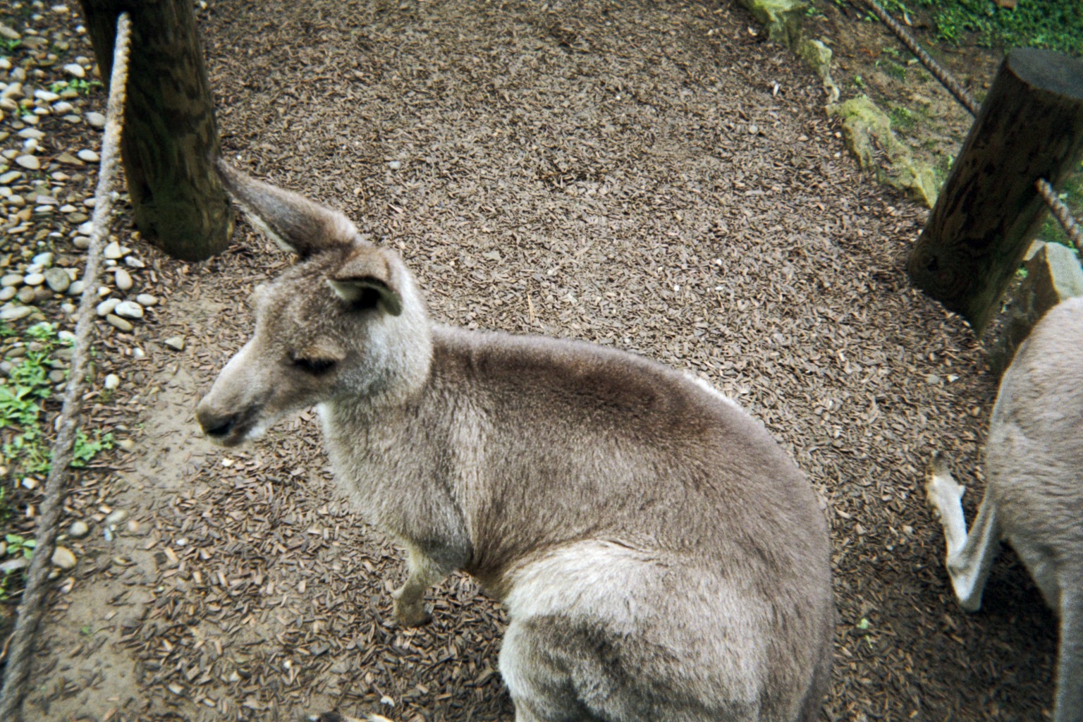
Though this is a trip report, I had to include an animal photo after so many zoo mentions.
Well-drawn but incorrect shields at the zoo exit
Throughout the trip in PA I saw something that I hadn't seen before, turn-lane pavement markings with "SLOW" surrounded by bars on sharp curves (they may have been in use for a while, but they're not really needed in the northwest corner of the state, the Erie Triangle and vicinity, which is where I am the most these days). They're also used on selected urban interchange ramps.
As I mentioned earlier, I've been familiar with Pittsburgh for a while, including the double-split at the downtown end of the Fort Pitt Tunnel (former I-376 western terminus, current I-279 southern terminus). What threw me completely off-guard is that the tunnel-bound ramp from downtown has a pair of stop signs! With 279 traffic backing up, it essentially became a two-way stop on an Interstate, on the bottom deck of a double-deck bridge, during rush hour.
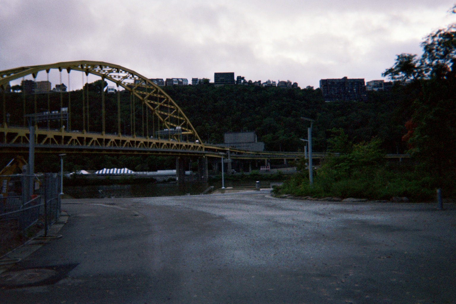
Finally out of that, I exited west on Carson St. along the river to find the Duquesne Incline lower parking lot. There was a sign at a place that I figured out later was probably the parking lot which said "NO INCLINE PARKING". I interpreted it to mean "There is no incline parking in this lot, find the proper lot", when in fact it probably meant "This is the lower incline lot but it's closed at this time" most likely due to an adjacent building being demolished. So I followed PA-51 for a while until I turned around (not driving my own vehicle, I was reluctant to turn around in driveways unless they had large throats). I then attempted by instinct to find the upper lot, not realizing that I had to be further east. I did happen upon the West End Overlook, however.
Note that at this point the weather was finally trying to break.
After leaving, there was a second attempt to get to the lower incline parking lot, which is when I saw the aforementioned sign, just after, I made another error – I followed the PA-51 signs at the West End Circle interchange, forgetting that that's where 51 leaves Carson St. (I do remember the PA-837 references on Carson St. between the Fort Pitt Bridge and there, but at the time they didn't sink in due to the two-way stop incident just before.) Immediately, I found a surprise: At the former crossing rail line that had been completely removed from the circle as part of the rebuild completed last year, save for its viaduct nearby, there were still ancient crossing signals! (Street View image with crossing intact at the time, looking back toward downtown)
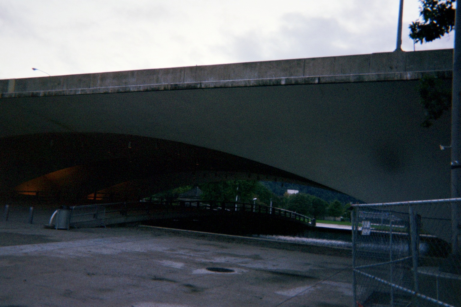
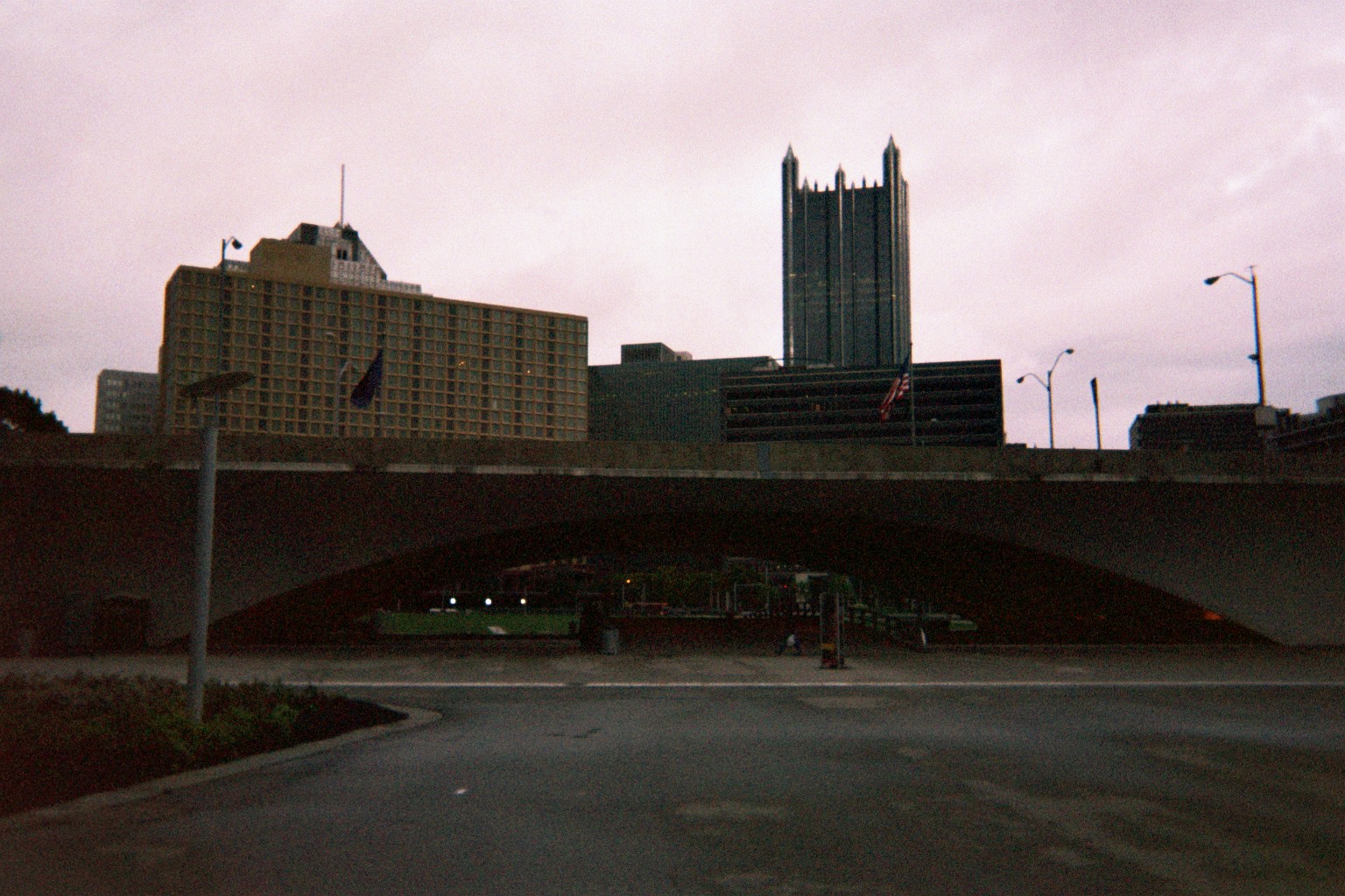
We continued on 51, picking up Truck US-19, where the two marker assemblies shown at the bottom of this page were still there (the first at the Parkway West, the second just after the overhead parking lot past Woodruff St.). Following a sign to downtown put us into the Liberty Tunnels, then onto I-579. Another loop via PA-380/Bigelow Blvd. took us almost to the East End, where we followed Centre Ave. back into downtown and eventually Point State Park.
Portal Bridge under I-279 looking toward the park
...And toward downtown
View of Fort Pitt Bridge and Tunnel
View of Fort Duquesne Bridge
View of fountain area and the river convergence (inaccessible at the time), and the elusive incline
Another trip to the (assumed) closed Duquesne Incline lower lot and U-turn put us at the Monongahela Incline. So, attempting to find an entrance to that, we ended up at...the Duquesne Incline upper lot, of course.
After the incline, we headed west toward the airport to find a motel. The operator sent us across Mt. Washington on Shaler St. to Woodville Ave. to the Parkway West westbound, so we got to traverse the ramp in the Exit 69 (I-279's old Exit 5) complex which carries both directions of Truck US-19 (note that the map shows I-279 where I-376 is now). Northbound/Southbound Truck 19 also follows the mainline eastbound, which we were on earlier.
In my humble opinion, now that I-376 is L-shaped, it should changed signposted directions from east-west to north-south. Now, I-376 going north is always labelled "WEST". Even worse, in preparation for its final configuration as a beltway, the short PA-576 going southwest, primarily to access US-22 going west toward West Virginia and Ohio, is consistently labelled "EAST" and vice versa.
Tuesday, October 4, 2011 (Moon Township, Pennsylvania to Lake County, Ohio)
Would have travelled the I-376 Business Loop end-to-end ("clinched") if I had remembered that the motels by the airport were near its south end. No matter, I did that long ago when it was mainline PA-60.
After a loop through Aliquippa to see where my family's friends lived while I was growing up, it was back to I-376 briefly, then another loop to show my girlfriend the factories along the Ohio River. I had planned to take PA-18 eastbound to PA-51 southbound staying on the west side of the river, following Pennsylvania Ave./SR-4044, but somehow I missed signs or they weren't there, and I ended up taking 18 to 51 itself, crossing the river twice. I did get to see Rochester's brand-new roundabout (Beaver County Times July 21 article on its opening; March 17 page with diagram), however, the second time on the trip that an unplanned detour led me to one.
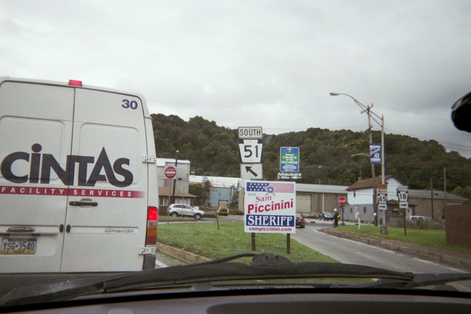
Where I would've ended up meeting 51 had I not crossed the river twice (note: I endorse no candidate or party)
Where 51 crosses railroad tracks just upriver. Note the not-yet-open new bridge and the doomed old one (Street View)
We took 51 all the way back past Aliquippa then took the Ambridge-Aliquippa Bridge across to PA-65.
Girder work of the Ambridge-Aliquippa Bridge (Street View)
Following PA-65 back to where we had been, we stayed on PA-68 into Ohio and SR-39.
Bar in Industry along guess which route
Where 68 and 168 run together, the confirming markers never appear together, at least going west. Also, there isn't much warning for the PA-168 north turnoff.
I saw a flashing walk signal, the discontinued signal warning of turning traffic, probably along PA-68/168 in Midland, though it might have been earlier in the trip in any of the small PA towns through which we travelled.
Ohio SR-11 now has exit numbers at its north end (example, taken November 3, 2009), but none at the other end where US-30 follows it.
When we stopped at the Dairy Queen just east of Lisbon, the weather finally cleared up for good, with only about three hours left in the trip.

Columbiana County courthouse with lots o' route markers, and a cameo by the author. Interesting how Street View shows fewer markers, and this photo from 2006 shows even fewer.
Mail Pouch barn sign somewhere west of Lisbon...it looks like it's this one, which would put it just west of Richey School Rd. about halfway between the eastern SR-172 junction and Hanoverton/SR-9.
Followed some of the older signposted Lincoln Highway alignments east of East Canton, though some signs are missing on some of them. Didn't drive the Baywood St. portion, the more famous brick alignment with the railroad crossing east of Robertsville (the other half of Roadfan.com has before), but did on a brick portion of Cindell St. just west of there.

East end of US-30 freeway at Trump Ave. (Street View; more photos, at bottom)
Old railroad bridge next to SR-21 in Massillon (Street View)
Followed both SR-21 (old US-21) and portions of older US-21 to Canal Fulton to visit the city's arguably most famous resident.
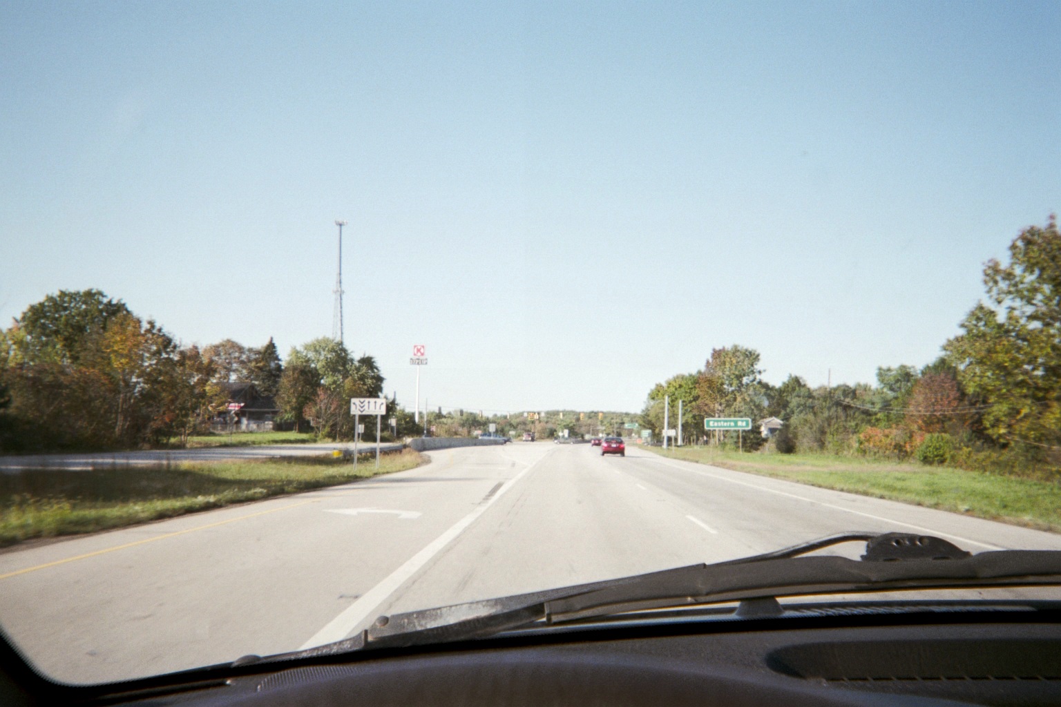
SR-21 at Eastern Rd. just south of SR-585 (former SR-5), not quite to I-76/US-224
Stopped at the newly-renovated I-77/SR-21 rest area in Bath Township south of I-271, and, like the ones just renovated on I-90 west of SR-44/Exit 200 in Concord Township, there is now no place to put maps for distribution (only one posted in a case), so no paper 2011. Fortunately, it's online.
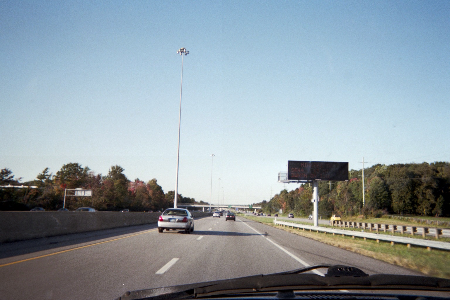
I-271 about three miles south of its end at I-90 (Express Lanes continue farther) You can go here to see what this sign and others like it around the state say.
Bonus A few photos from side trips of her first vacation this year, in early July.
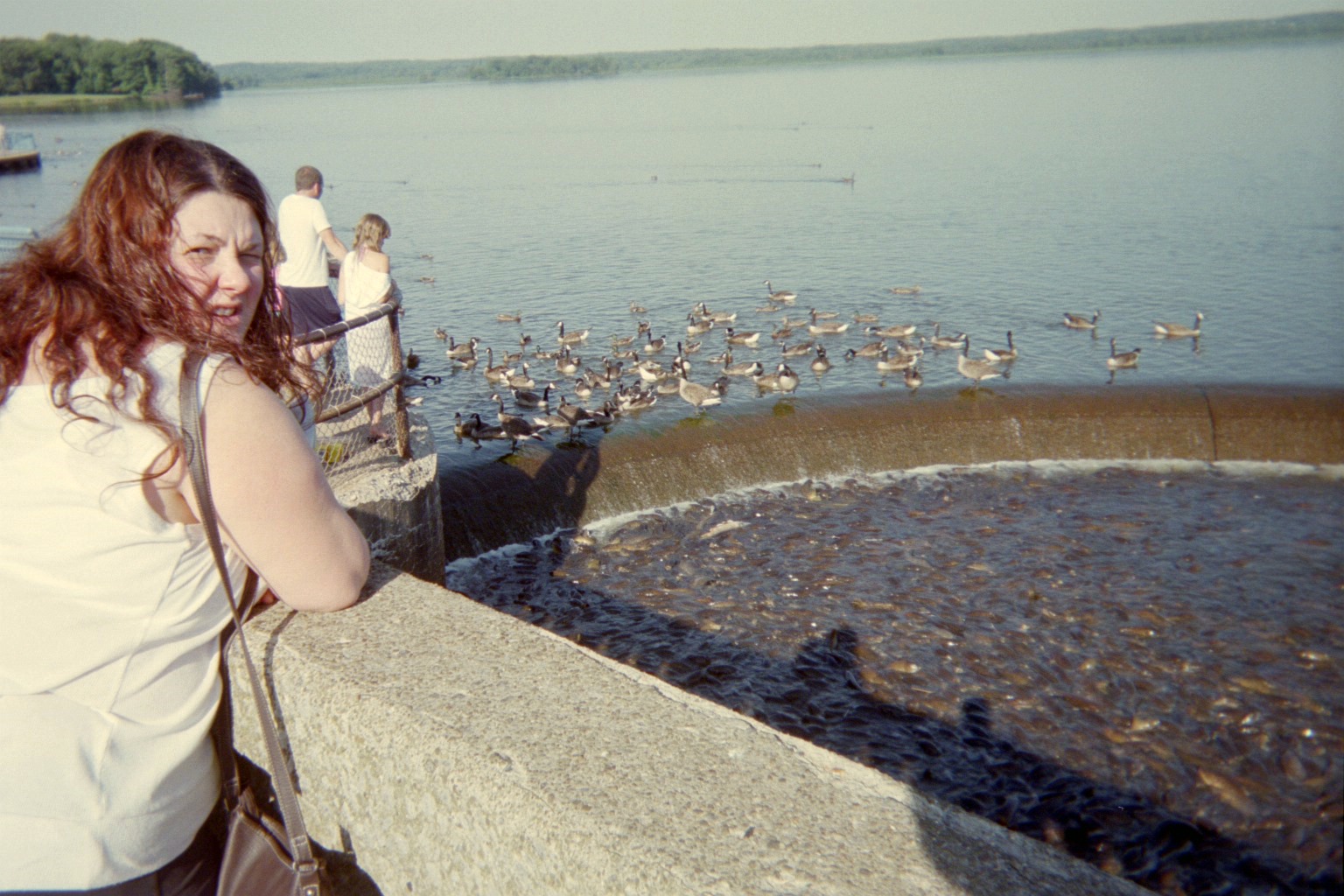
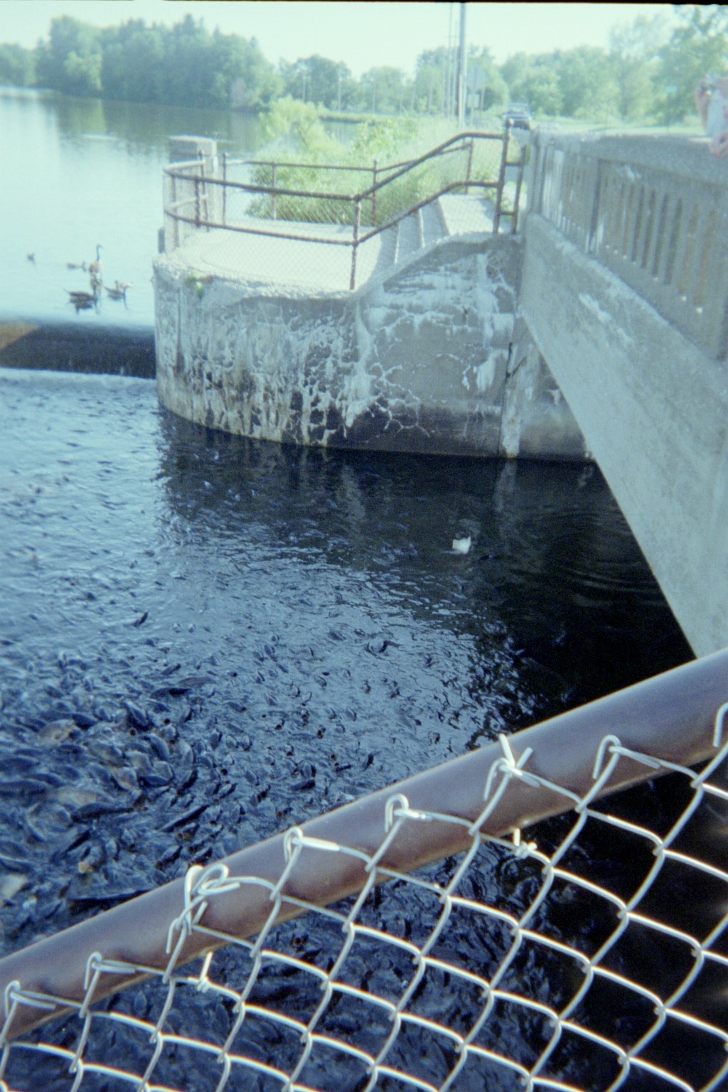
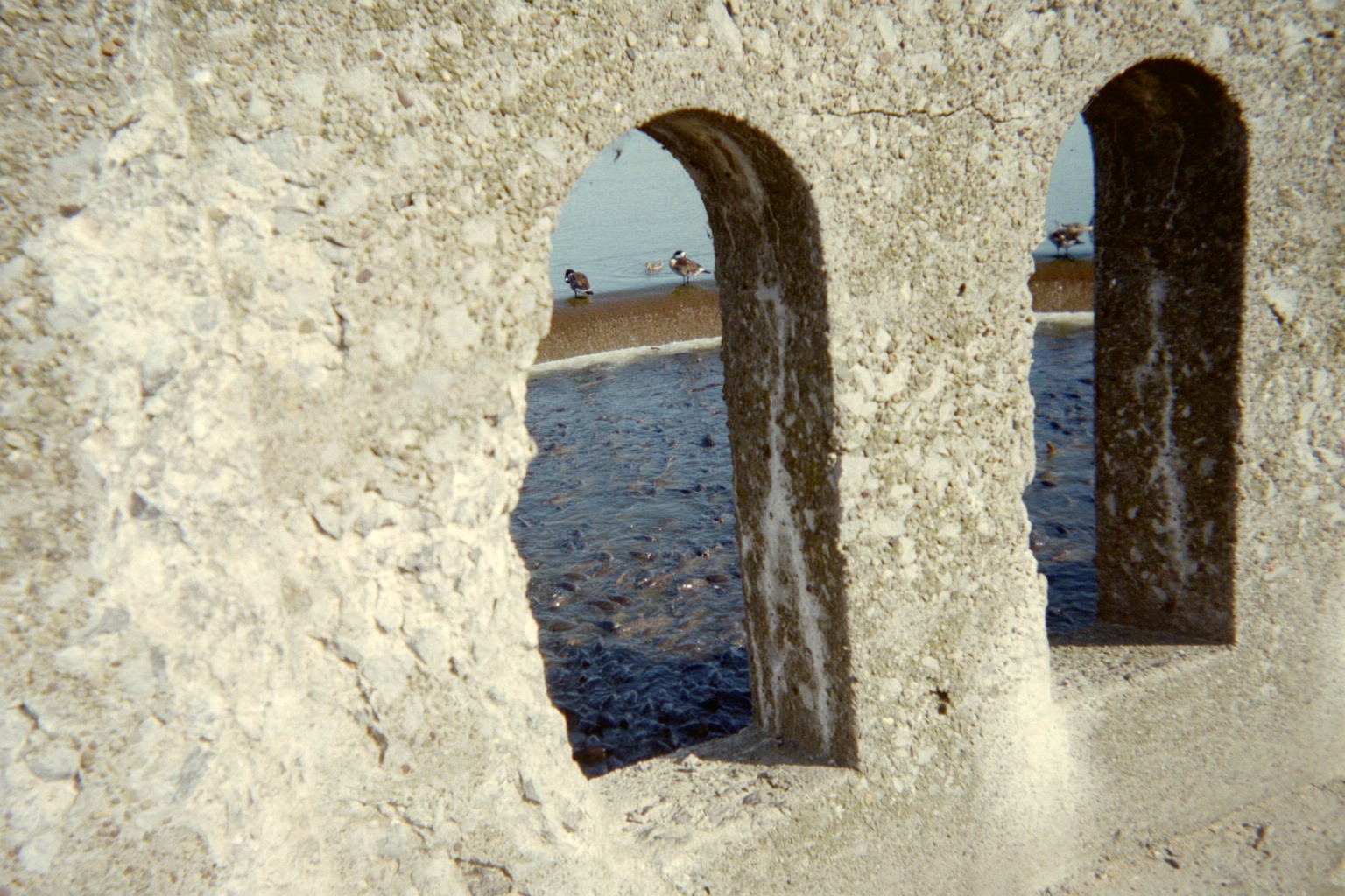
Tuesday, July 5: After visiting Pymatunung Deer Park just east of Jamestown, PA, we went to the spillway just south of Linesville/US-6 on the PA side of Pymatuning Reservoir, "The Place Where the Ducks Walk on the Fishes' Backs".

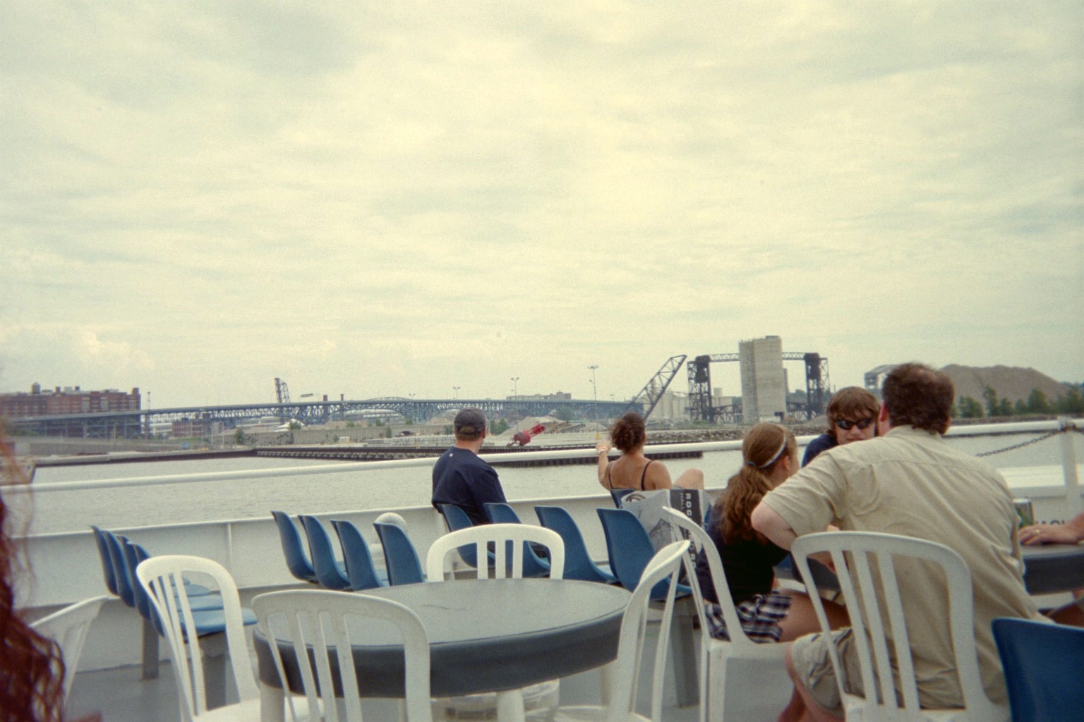
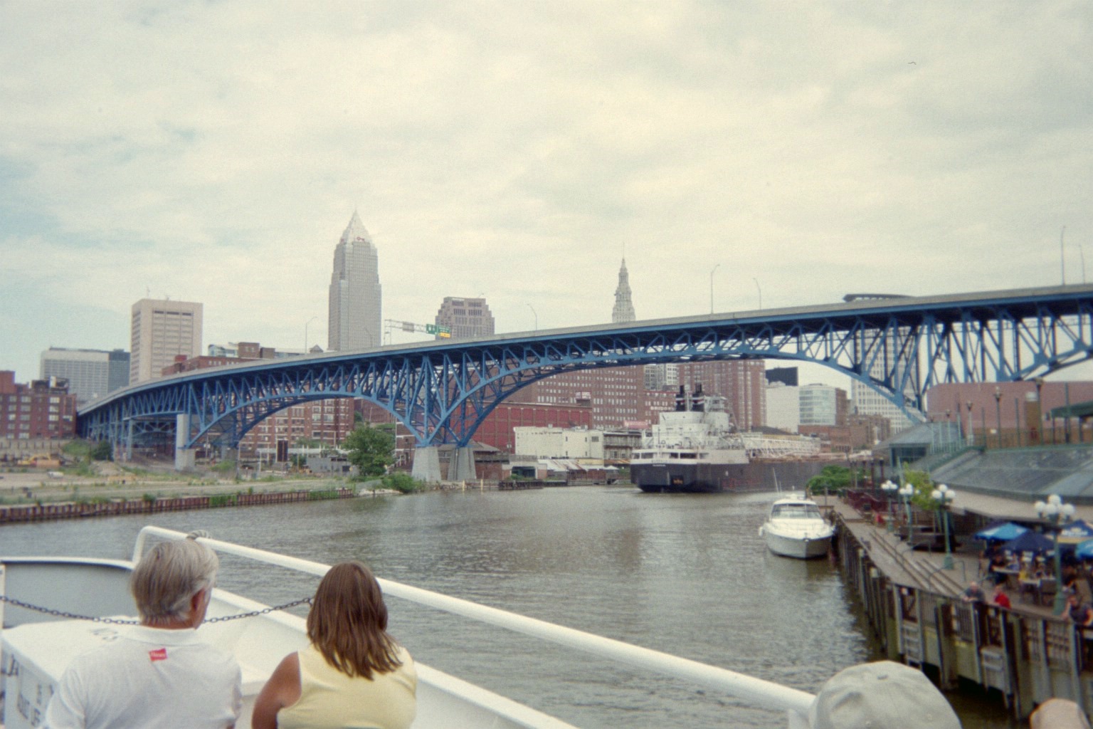
Wednesday, July 6: To Cleveland: Excursion on the Goodtime III and later to the Cleveland Metroparks Zoo (no photos from the latter).