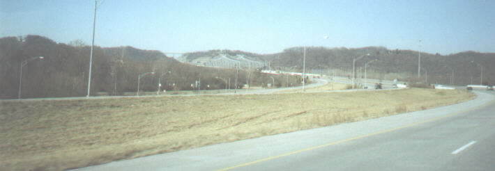
Heading south / east on I-275 approaching the Combs-Hehl Bridge (this name is not widely used or even known). In the distance one can see the high US 27 bridge over I-275. The interchange in the foreground in US 52. Nearby is Riverbend, an outdoor music venue, and Coney Island, an old amusement park that is home to the world’s largest re-circulating swimming pool.

Getting closer to the bridge. In the summer of 1997 we were in this same place and on our way to Canada, towing our boat behind us. There was construction, we went over a bump, and the axel on the (probably overloaded) boat trailer broke in spectacular fashion and flew into the median! For more info on the bridge, go here.
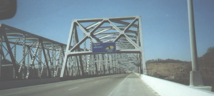
Entering Kentucky where, as the sign says, education pays. We are also entering Campbell County.

Having crossed the Ohio River, we are heading up into Kentucky and towards the junction with I-471. The very high bridge carries US 27 and used to be at ground level before the hill was cut out for I-275.
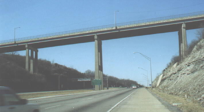
A closer look at the bridge. Note the horizontal support on the bridge above the BGS in the median.
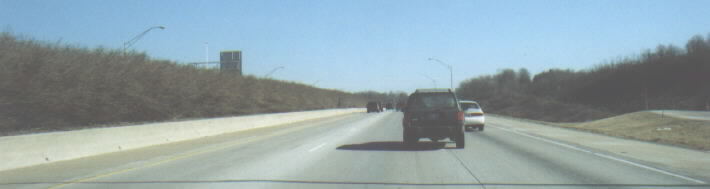
Heading north on I-471 towards downtown, in the area of the US 27 interchange. Most of I-471 is divided with a special jersey barrier that has shrubs on top of it.
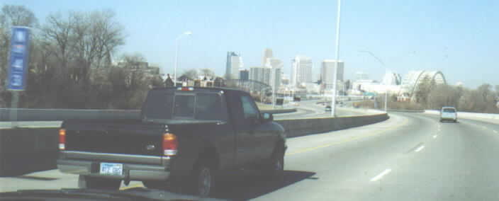
Downtown Cincinnati comes into view on northbound I-471. The bridge on the left carries I-471 and the bridge on the right is the L&N Bridge (more info below). Note blue mile-marker mounted on the jersey barrier. I-471 and some other interstates in the Cincinnati area have markers like this every one tenth of a mile. This one, then, is not for Mile 43 but rather Mile 4.3. [More information on these markers]

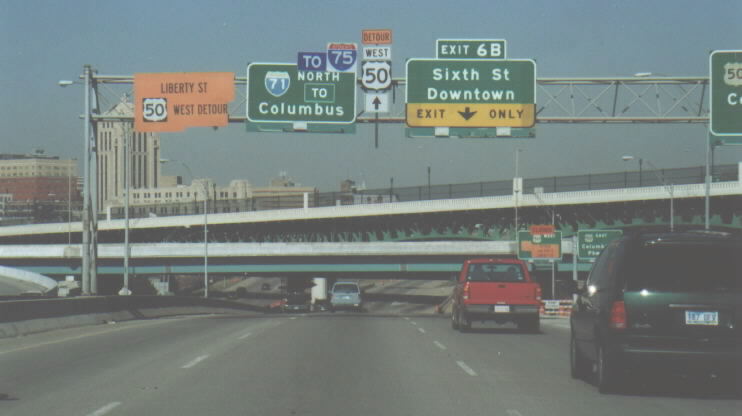
About to cross the Ohio River on the Daniel Carter Beard Bridge, named after the Northern Kentucky resident who founded the Boy Scouts of America. This bridge is popularly known as the Big Mac Bridge because of its golden arch. Some interesting changes have been made to these BGSs. The “TO 75” banner and shield were added to the one on the far left when the FWW construction began. Staying on I-71 northbound (and then using SR 562 - the Norwood Lateral) is not the fastest way to I-75 north, but it temporarily is now that the ramp to Fort Washington Way westbound is closed. I personally would get to 75 by crossing downtown on 6th street, but I can understand why this is not the posted detour. The BGS on the right reflects the closure of the ramp to FWW. If you look at the edges of the large “EAST” banner, it is obvious that it is hiding a “TO 75.”

Crossing the Ohio River on the I-471 “Big Mac” Bridge. More info here.
Approaching the interchange of I-471 and the eastern end of FWW. Just north of here, 471 ends into its parent. Note the temporary signage added for the construction. The bridges overhead carry traffic in and out of downtown, which is to the left of the photo.
Page created on December 15, 2002/last updated on January 16, 2003
Questions and Comments can be directed to Pete Jenior
Return to Pete Jenior's Cincy Tour