
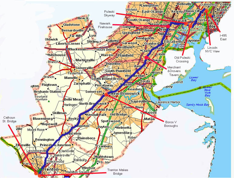
Trenton
The Calhoun Street Bridge This was the original crossing point for the Lincoln highway over the Delaware River between Morrisville and Trenton (from 1913 to 1915) The LH was later moved south to the "Trenton Makes..." bridge because the LHA wanted no tolls along their highway. The Calhoun St bridge's tolls were not removed prior till 1980.
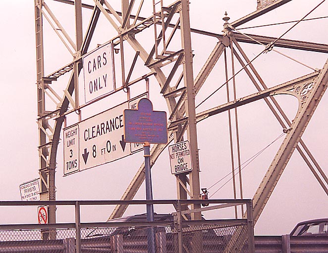
Of note here is the placard mentioning the state division along the LH, and the directions to other LH locations. The tenant for the Calhoun St. bridge went out of his way to prevent me from getting a picture of the front of the placard. So this will have to suffice.
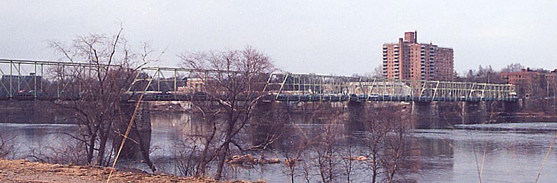
"Trenton Makes, the World Takes" bridge
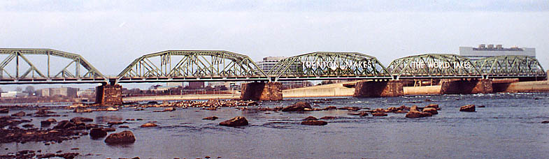
So what do we know about this bridge? This is one of only two bridges heading out of New Jersey that doesn't charge a toll to leave (the other one being I-95 north of Trenton). It is the current routing for Bus 1 (?), and was the old routing for US 1
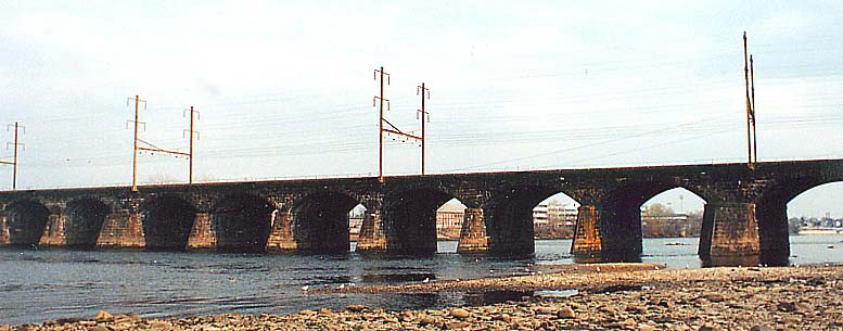
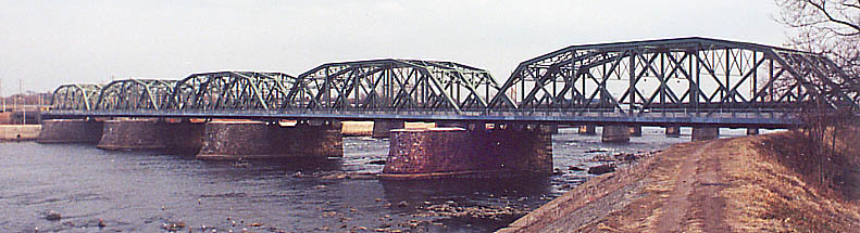
I added this photo just because I find it interesting. The old Penn RR (now SEPTA/AMTRAK) line going between Philly & NYC. This is just south of the current US 1 bridge (so you have the trio of the Trenton Makes bridge, current US 1, and the RR bridge within 1,000 yards of each other)
All bridge pictures mentioned above were taken from the Pennsylvania side of the Delaware (but appear on the New Jersey page)
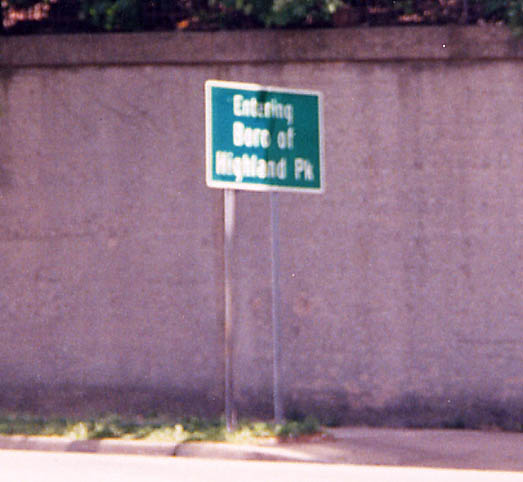
Where PA has boroughs, New Jersey has boros. Same word, different spellings? Along NJ 27 (Original LH routing). Actually, New Jersey has boroughs as well, they are just usually abbreviated as "boros" in informal contexts. Highland Park has a Lincoln Highway Control Point with a sign, and its public library hosts regularly-scheduled Lincoln Highway Association meetings.
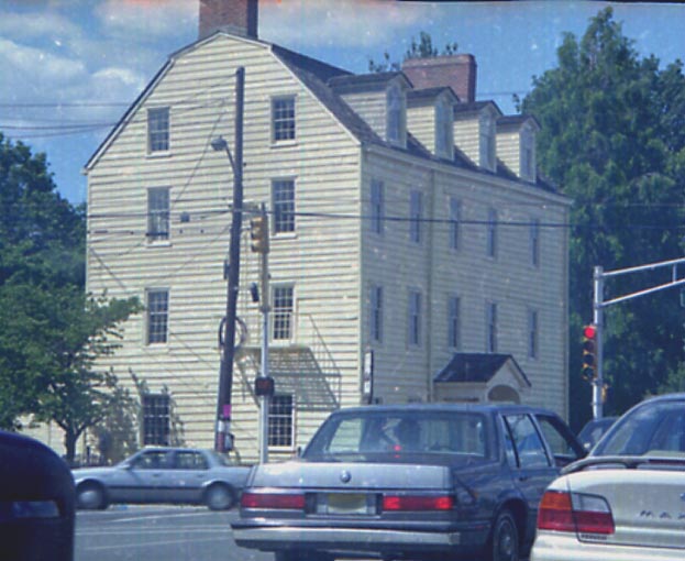
The Merchant & Drovers Tavern. This house, (NJ 27/St. Georges Avenue) at Grand and Westfield Avenues (in Rahway), is shown in Drake Hokanson's Lincoln Highway book (circa 1988) -- this is what it looks like as of July, 2000. The building, built between about 1795 and 1820, hosts 25 rooms within its four stories and was originally a hotel. Official website
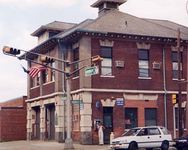
An old building, possibly a former fire house, along NJ 27, just north of Haynes Avenue in Newark.
The Pulaski Skyways
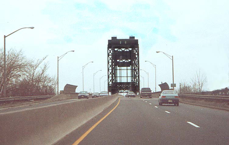
Top Picture - The original Pulaski skyway. Actually an old
drawbridge which still works today. Along Trk US 1 & 9 SB (or
is it WB) heading out of Jersey City
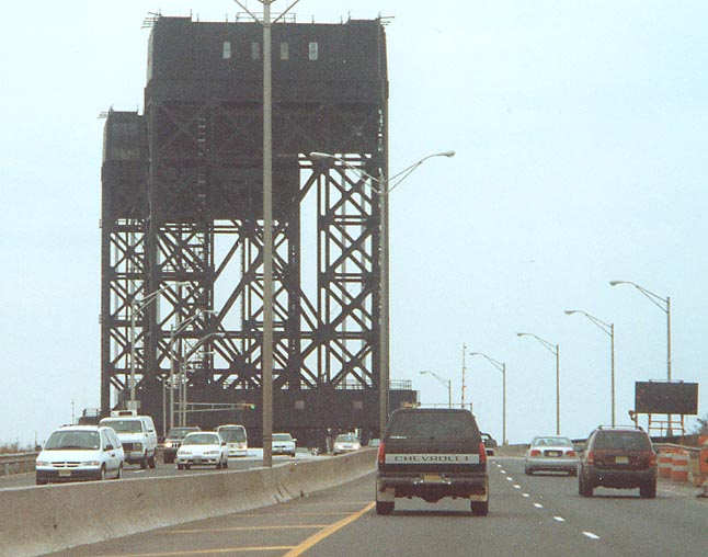
Middle Picture
- A closer view of the drawbridge. Truck 1 & 9, leaving Jersey
City to Newark
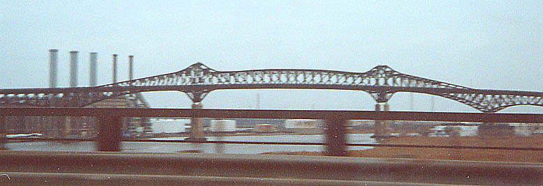
Bottom Picture - The current Pulaski
Skyway (US 1 & 9) (Photo taken from Truck US 1& 9)
The Hudson River crossing area
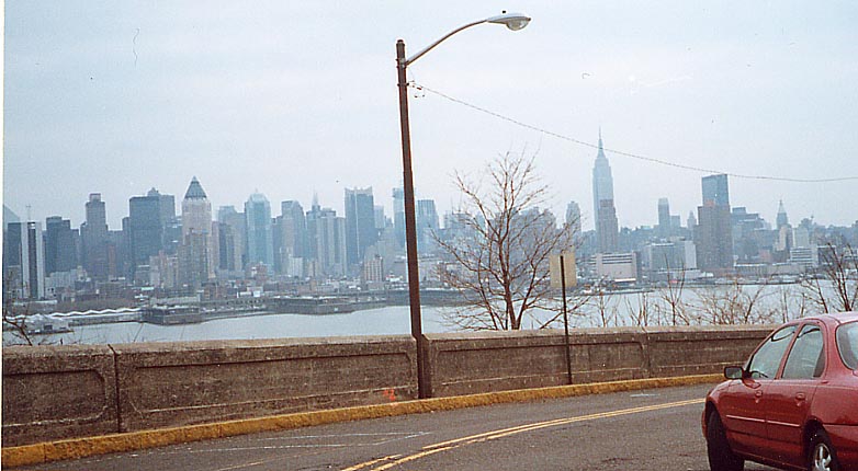
This View of Manhattan, from the Lincoln Highway (before you go down the cliffs to the ferry), is from the entrance of Pershing Blvd. at the top of the Hudson Palisades looking across the Hudson. "That's in Weehawken near Blvd. East. A few blocks south of there is where Burr shot Hamilton ($10 bill) dead in a duel. The view of the NYC skyline from here, especially at night, is priceless."[Bill Mitchell]
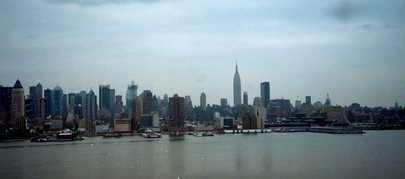
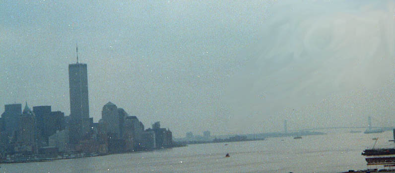
Here's a couple more shots of NYC, without the streetsigns and lights in the way, I took from the same location.
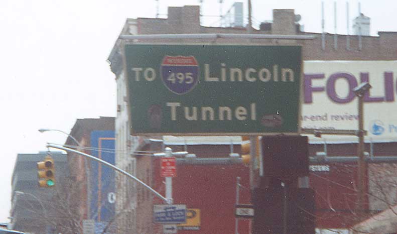
Technically not part of the Lincoln Highway, The Lincoln Tunnel is just south of the original port for the ferry taking traffic to Jersey for the LH. The Lincoln Tunnel was not named for the Lincoln Highway, but in light of the George Washington Bridge upstream on the Hudson River. When the Lincoln Highway route eventually shifted away from the ferry, it was actually rerouted through the Holland Tunnel, not the Lincoln Tunnel.
Thanks to Ray Martin, Bill Mitchell, and Frank Curcio (plus an anonymous person who e-mailed Frank) for additional information.
This page created Tuesday, August 7, 2001/ last revised July 7, 2003
Questions, Comments and Submissions can be sent to Sandor Gulyas
Go west to Philadelphia Region Lincoln Highway Photos or Return to Sandor Gulyas' Lincoln Highway Home Page