Highway/Earth Grid Crossings
In the tradition of highway photography and photography of locations where whole-numbered lines of latitude and longitude cross, I have created this page, which will document where highways cross whole-numbered lines of latitude or longitude!
If you wish to make a contribution to this page, please contact me at the address below! If you're unsure where these crossings are, you can use the U.S. Census Tiger Map Browser or the Info option from any map/aerial photo page at TerraServer to find them (if you can access paper copies of United States Geological Survey topographic maps, which the latter uses, the lines will almost always be the map edges). My preferred way of acquiring photos is for the contributor to upload the photo to his/her website, where I would then save it on my end and then add it to this page, although sending photos as attachments is acceptable, but only after a non-attachment message prior which states such plans.
All uncredited photos taken by Marc Fannin
45 degrees north
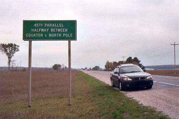
US 131 just northeast of Alba, Michigan (map with grid), looking southwest, October 16, 2002. Contributed by Barry L. Camp.
81 degrees west

I-90 at the Lake/Ashtabula County boundary, Ohio (map with grid), looking east, May 25, 2004
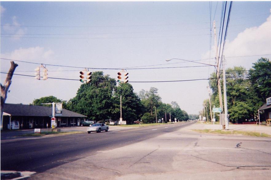
US 20 at the Lake/Ashtabula County boundary, Ohio (map with grid), looking east, June 8, 2004