Jump to New Brunswick | Quebec-Gaspe Peninsula | Quebec-St. Lawrence River | Ontario-St. Lawrence River
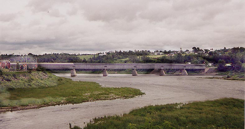
World's longest Covered Bridge(?) Rand McNally calls this bridge the longest of it's type in the world (and then proceeds to mark it's location in the wrong place). It's about 25 miles north of the northern end of I-95. Crossing the St. John River on the northside of Heartland
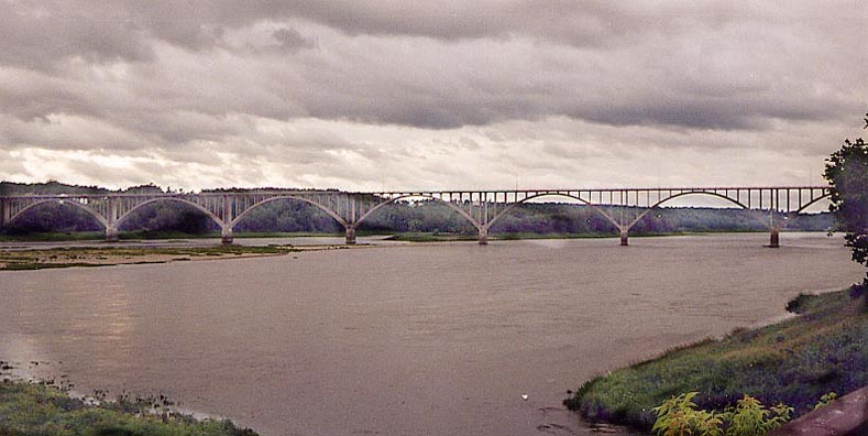
Alot of Arches To the west of the Heartland Covered Bridge is this multiple arch bridge for Trans-Canada (or is it NB?) Rt. 2. I don't know if the bridge of arches replaced the covered bridge. As for Rt. 2, is it a highway, a super two, or a freeway?
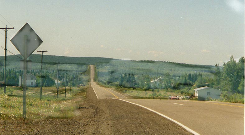
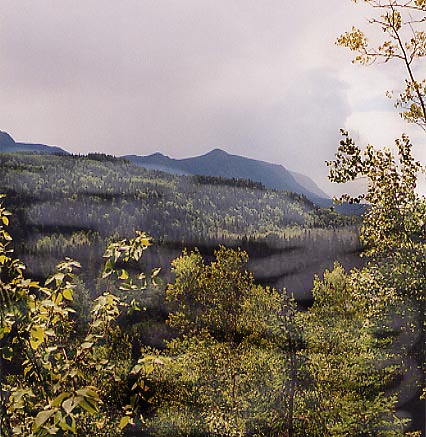
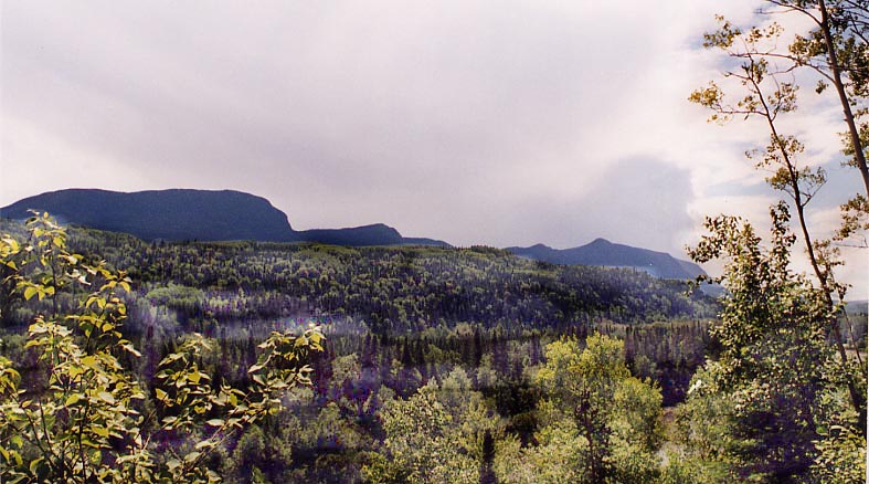
Woodland Vista Long straightaway along NB 17. I'm looking SW back towards a wooded hill. Between St. Leonard and Robinsonville.
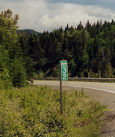
Interesting side story, from Olivier Masse, about Quebec KM-markers. "About the kilometer markers in Quebec… you don't see much along roads because they are normally used only in remote areas (which is the case of route 299) as a location sign for emergencies or maintenance. Most rural autoroutes also have km markers for the same reasons. On roads which are populated, this isn't necessary so they don't install any. Another interesting sign you will see on isolated roads is a sign which mentions that the next gas station is at a zillion kms or so… normally it's put right beside the last gas bar you'll see, and it seems to be an official sign which is probably paid for by the government."
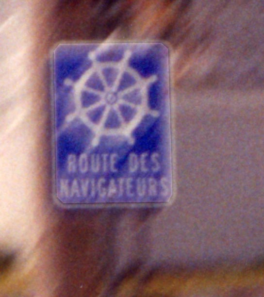
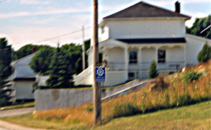
Sign for the "Navigator's route" Close up of shield | In context with background
Saint Anne des Monts
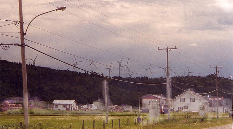
Cap-Chat Windfarm There are 133 windmills located here, producing 100 MW of electricity. The most notable one in the collection is the Cap-Chat Vertical axis one. It stands 110 meters (310 ft) high. There are tours offered of the Vertical Windmill as well.
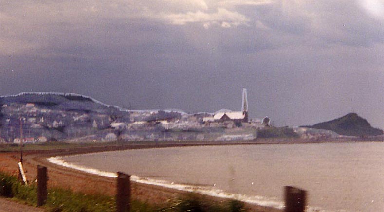
Matane Small town along the St. Lawrence. Their church stands out the most.
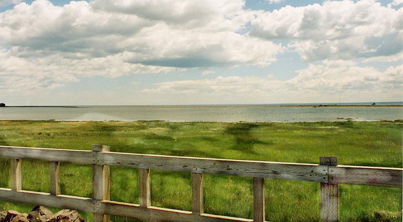
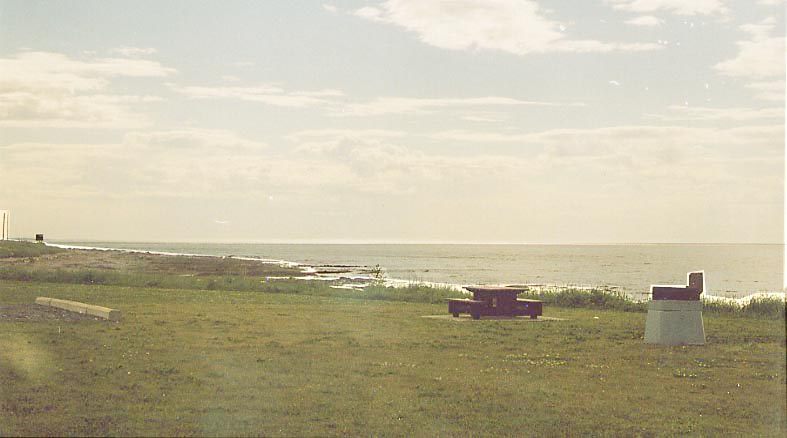
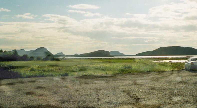
Roadside Park Bic Park?
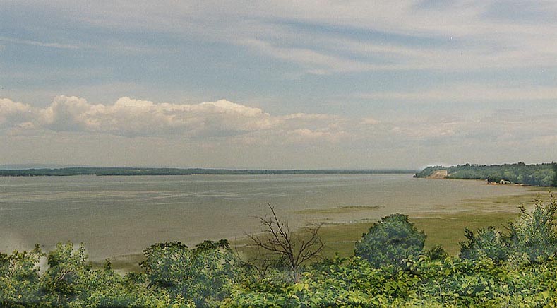
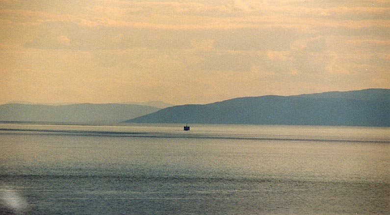
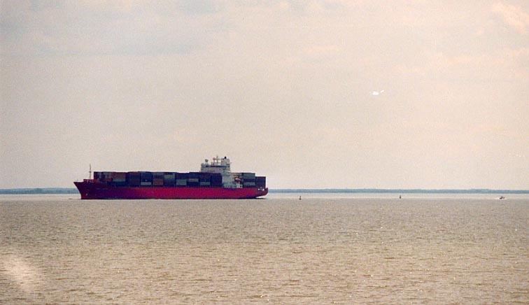
Trois-Pistoles What I would describe as "bumps," actually islands, out in the St. Lawrence between Rimouski and Riviere-du-loup
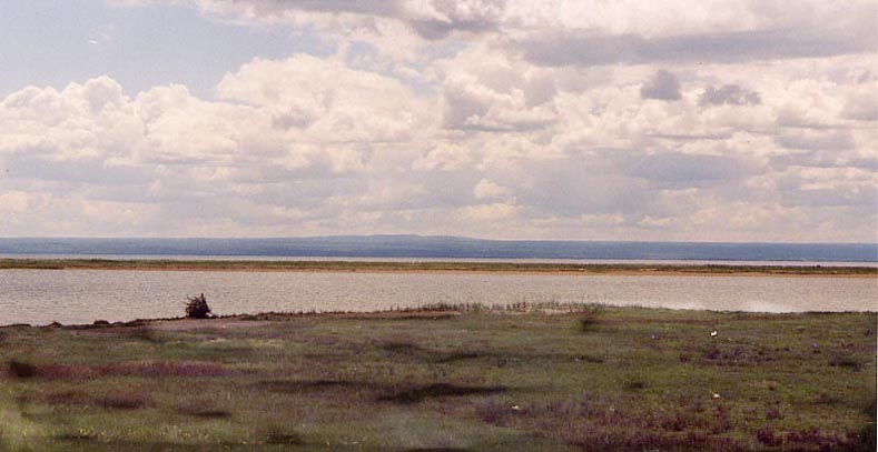
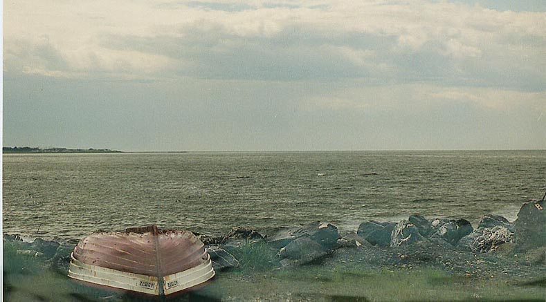
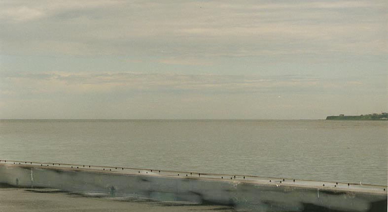
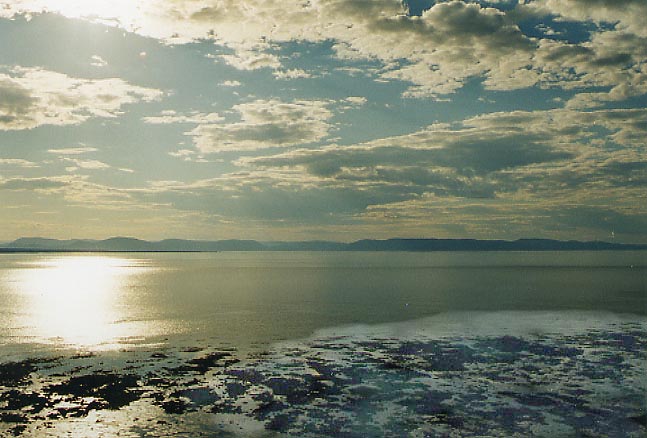
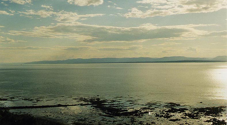
Other St. Lawrence River Views From the shore of Riviere du loup(?)
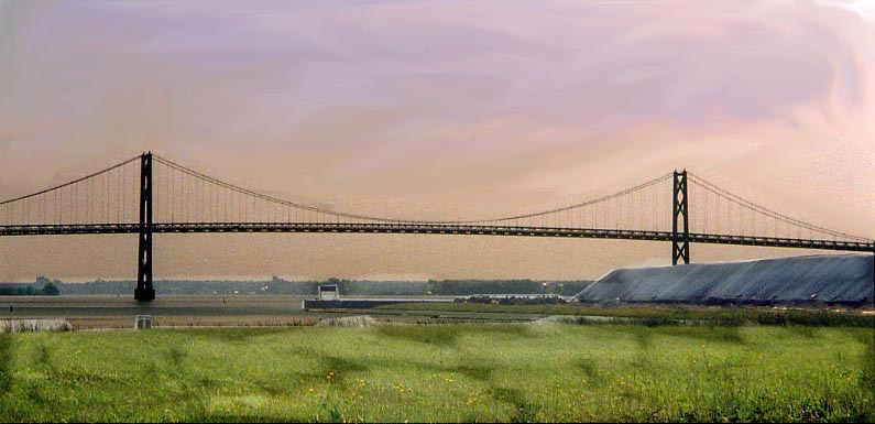
Trois-Rivieres Bridge Quebec Autoroute 55 uses this bridge
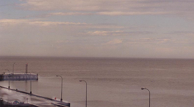
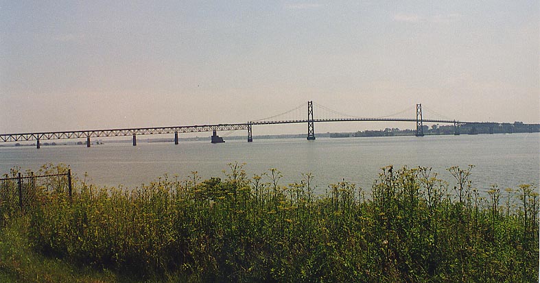
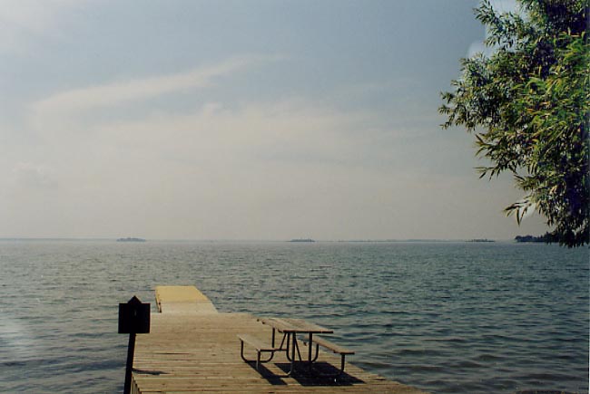
Thousand Island Parkway Pier 1
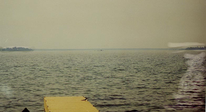
Thousand Island Parkway Pier 2
Also see New York Photos of Thousand Island
Page created on October 23, 2002, last updated on October 25, 2002
Any questions or comments about this page can be sent to Sandor Gulyas
Return to New England Photos